52 Weeks, 52 Half Marathons - Stage 35
Sintra Mountaineering
Saturday, September 14, 6:59 AM
Coming back from a run in Venezia and another in Firenze, I was not quite ready to explore the renaissance-less of the Lisbon suburbs. Instead, I opted for another reborn moment in Sintra.
Over the course of the year, I have already logged countless trails in the mountain, so I had to sharpen my Da Vinci pencil to come up with a non-overlapping route. And there lies the root cause of my adventure today. It’s not the first time, and it won’t be the last, that I start painting my trails on Komoot without looking at the challenges of the profile. I know I will be climbing but instead of thinking about how hard it will be I always think about how freaking cool it will be. The running me not always agrees with the planning me.
One of my proudest achievements is having a detailed map of the Sintra mountain trails in my mind. Sintra, however, always manages to have one more trail for me to discover.
Meeting my climb head-on
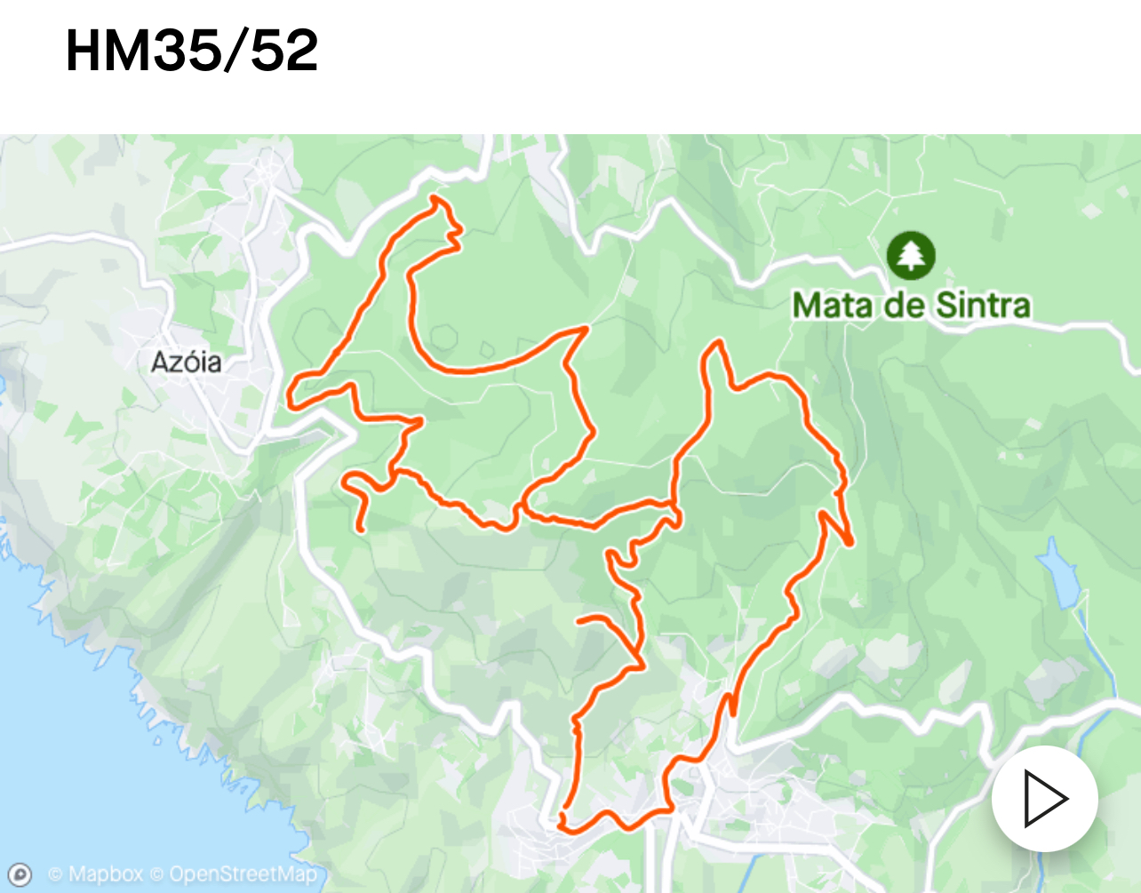
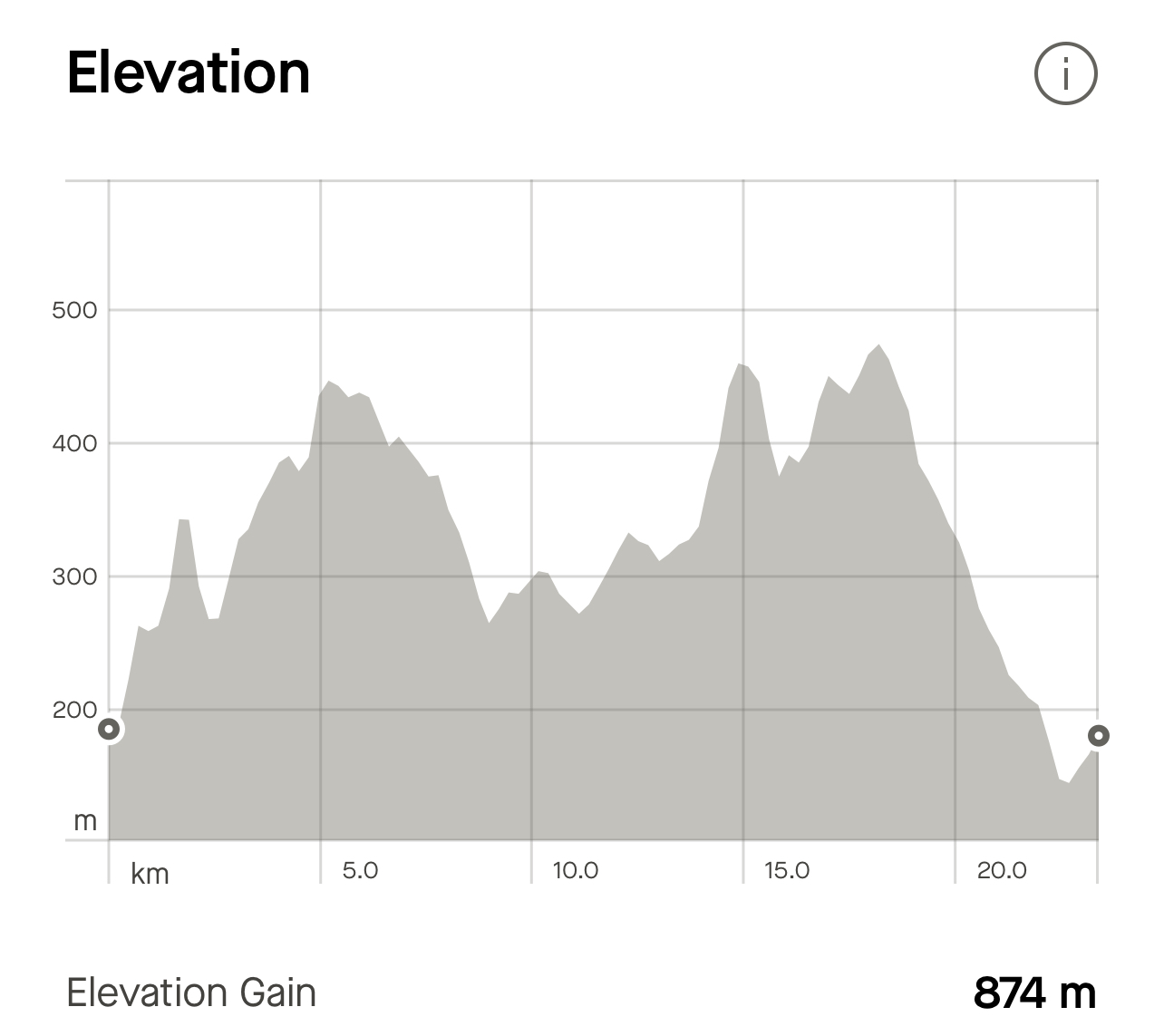
The run today starts off the road from Malveira da Serra to Cabo da Roca, out by an old windmill that has been ruined by a dozen cellular antennas. We are on the way to Peninha, one of the highest and most scenic points in the mountain. I had a rough idea that it was going to be wild, but sometimes I get carried away. Following my route, you will be climbing for a mile at 12% average grade.
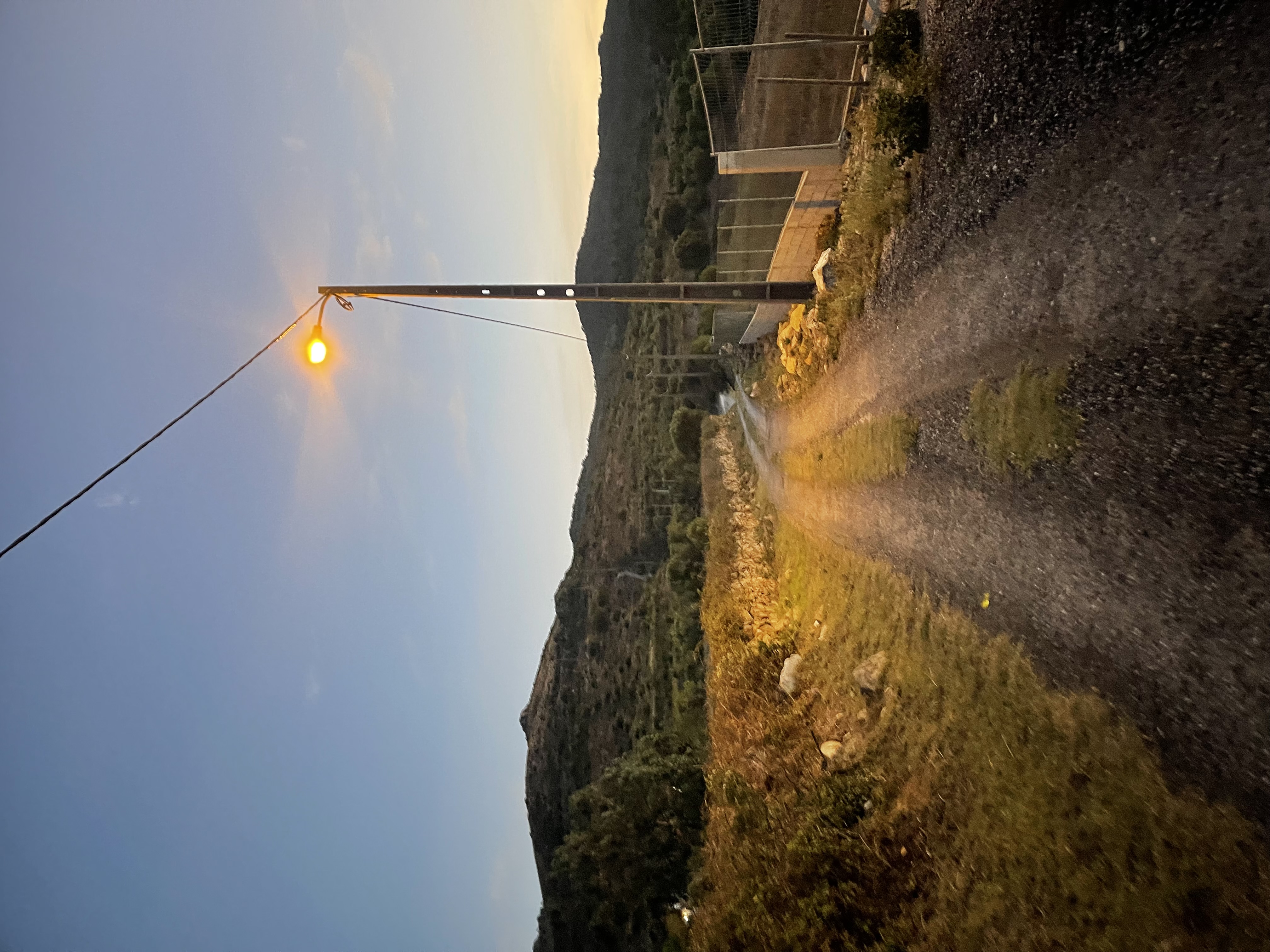
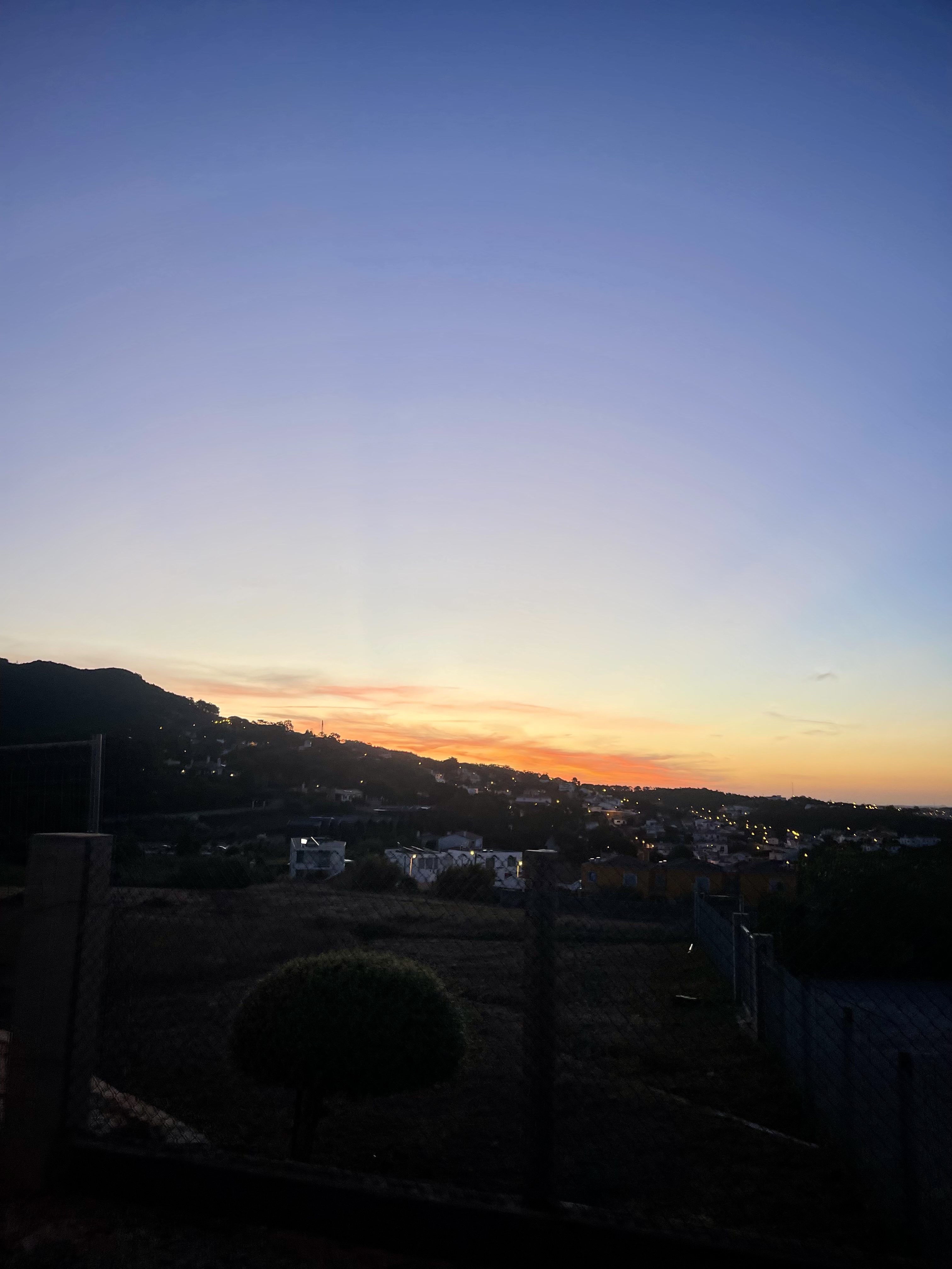
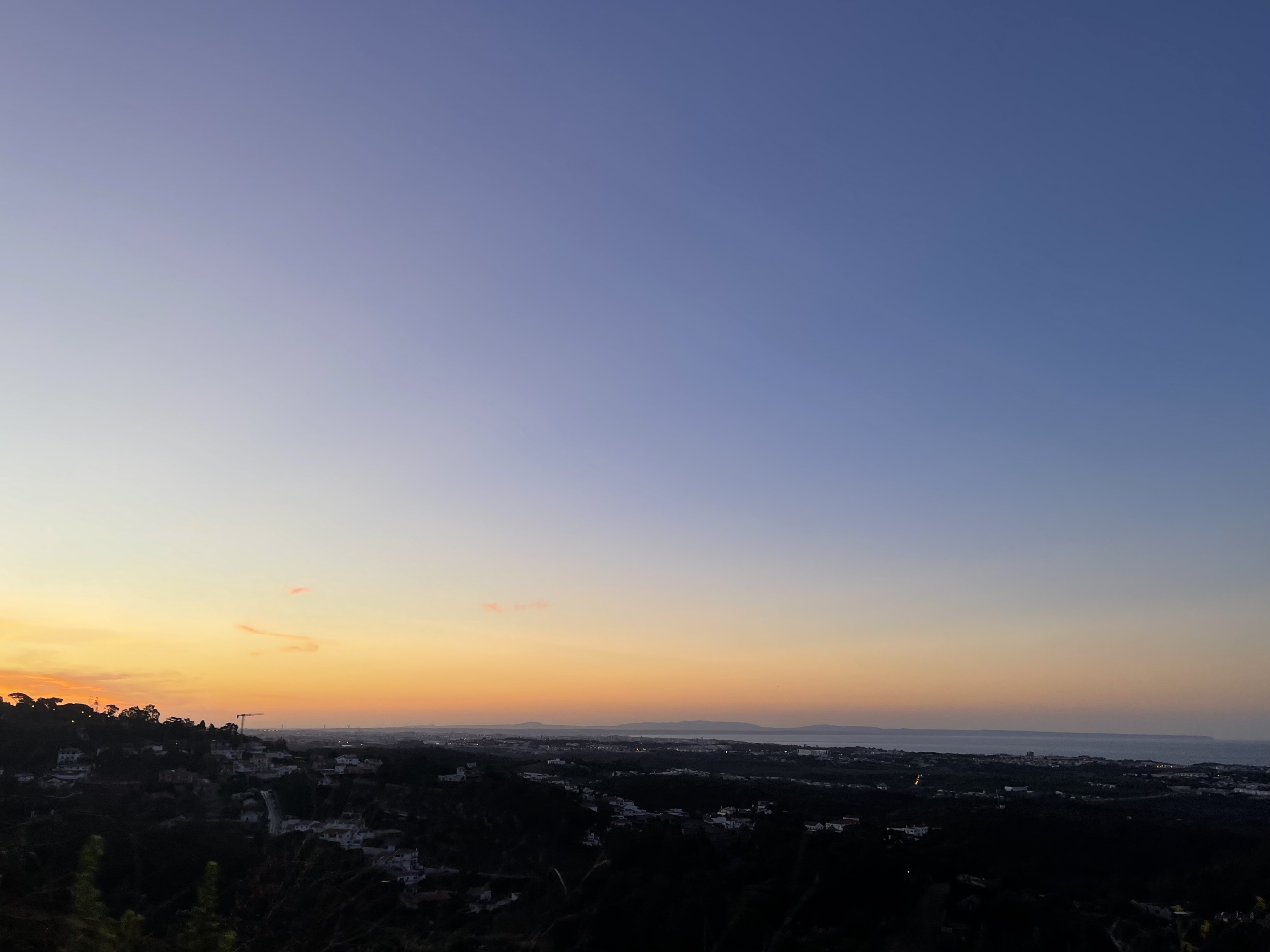
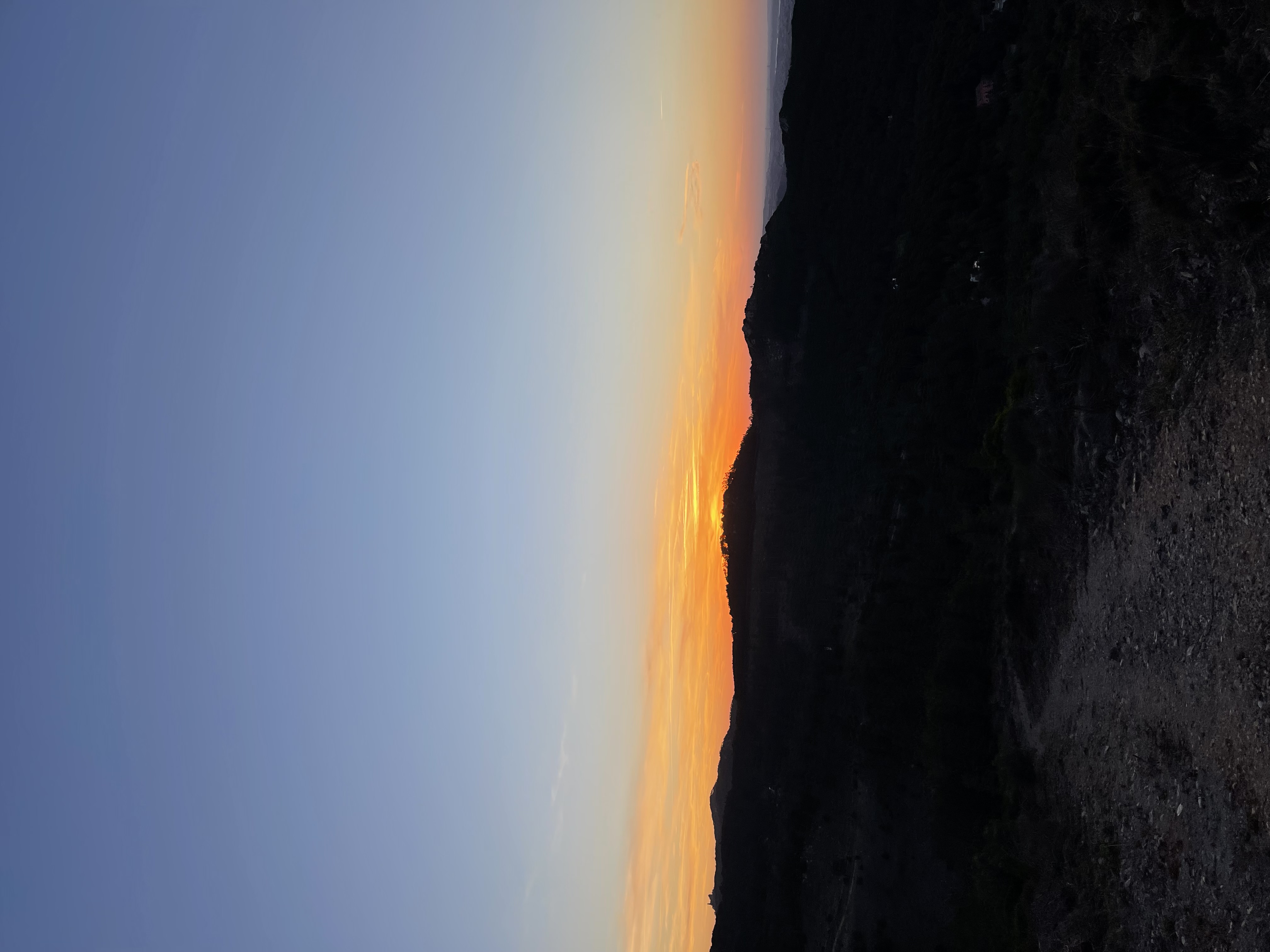
There’s a beautiful sunrise coming up on the horizon
There is a strong chilly wind which is normal on this side of the mountain. I fear that I might suffer from the cold on the first kms. I was so wrong about that!
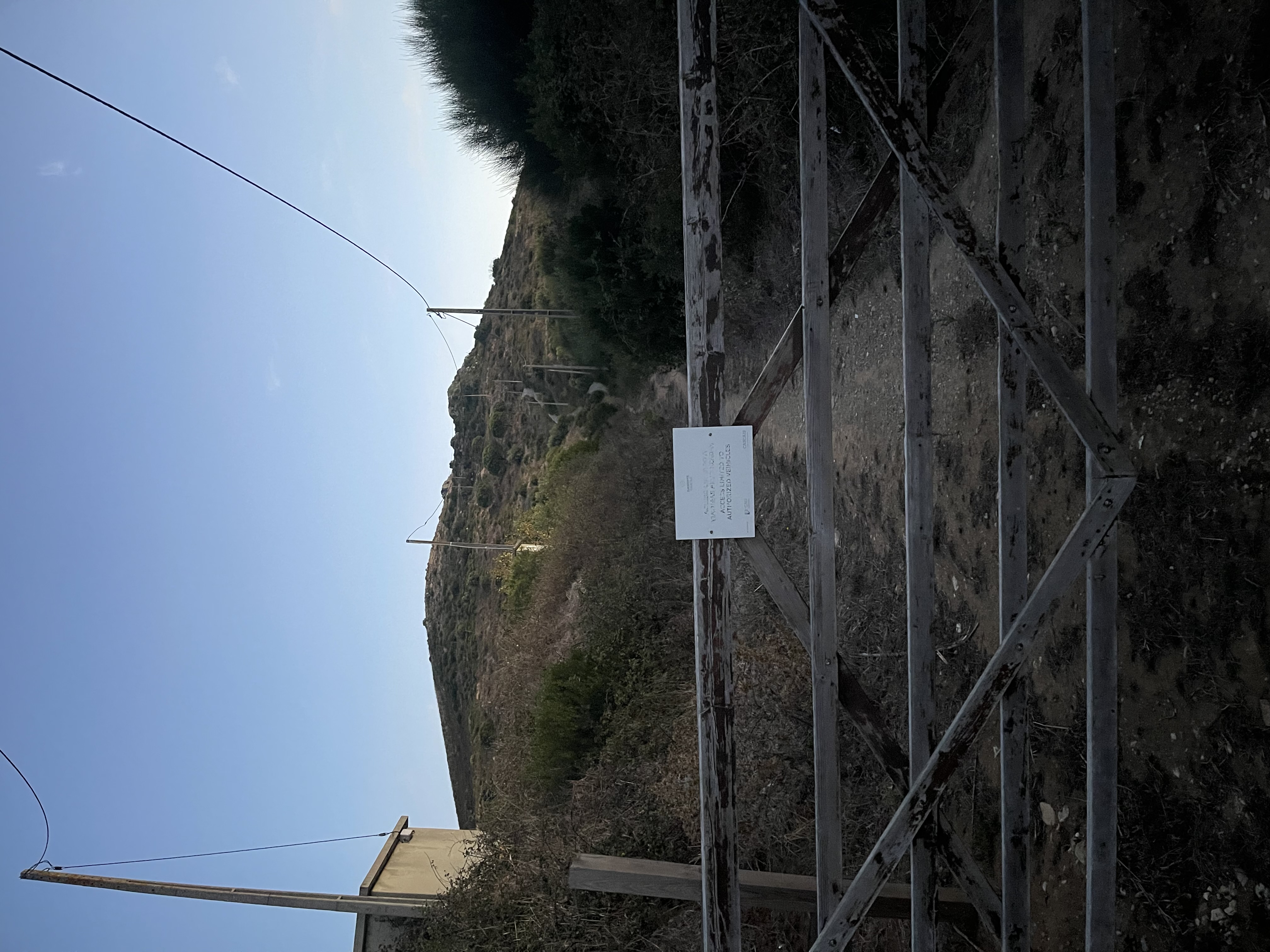
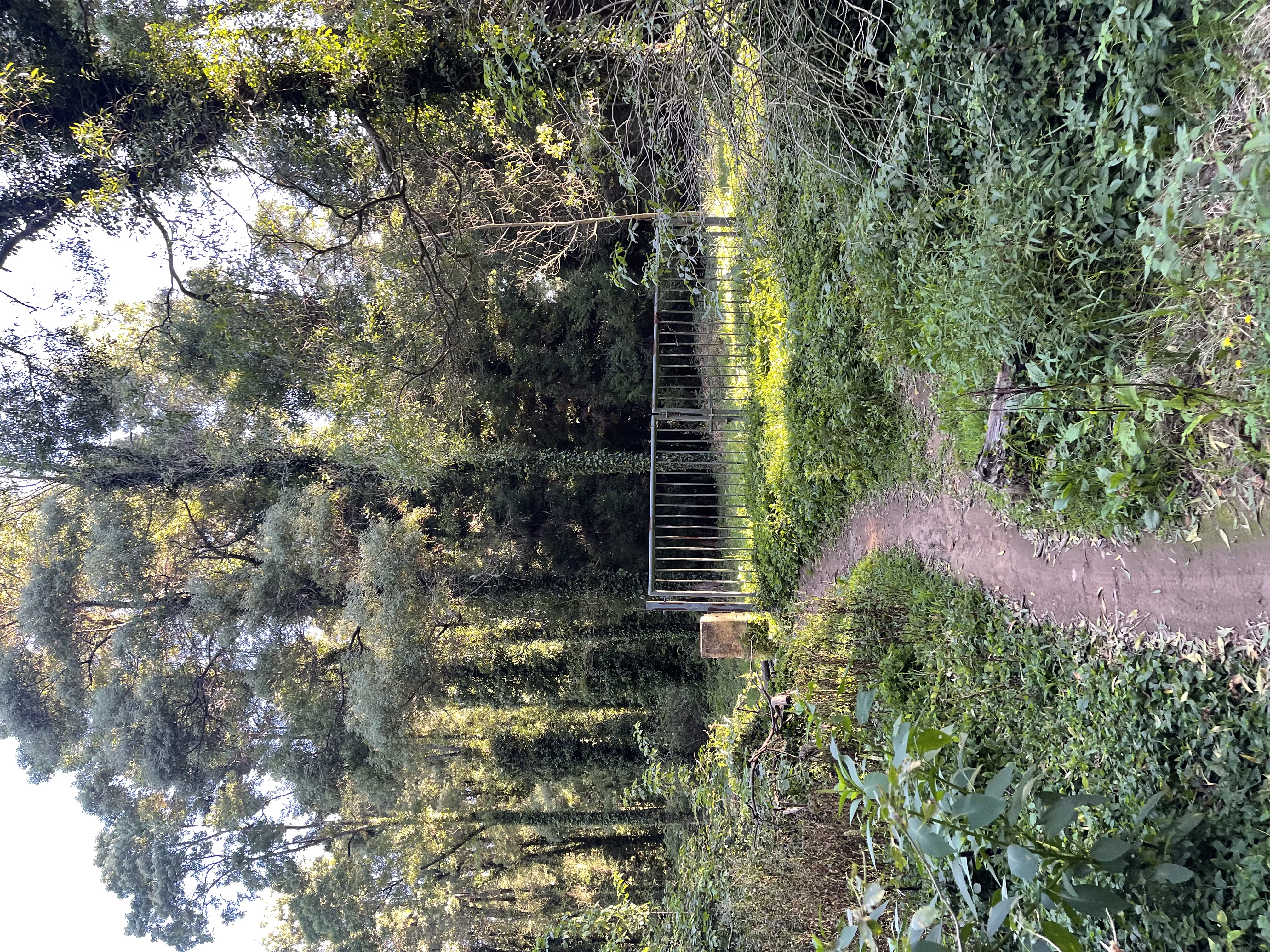
I get my first warning as I approach a gate that up to the very last moment seemed to be closed with no way around it. That’s where I have the first glimpse of the slightly winding trail going up the hill. Fun suffering ahead.
The gate to climbing hell
If those 12% did not sound harsh enough… we start with 300 meters at a 22.67% average. It crushed me like a bug. My legs, having barely woken up, are now profusely burning. My lungs were still warm from the comfort of the bed, the climb put a hand in my throat and pulled them outside of the body. It’s so steep that we have to tiptoe all the way up - brutal on the Achilles. For a moment, I feared the ghost of my Achilles injuries (the ones that I normally treat by hammering them with extra runs… please don’t judge).
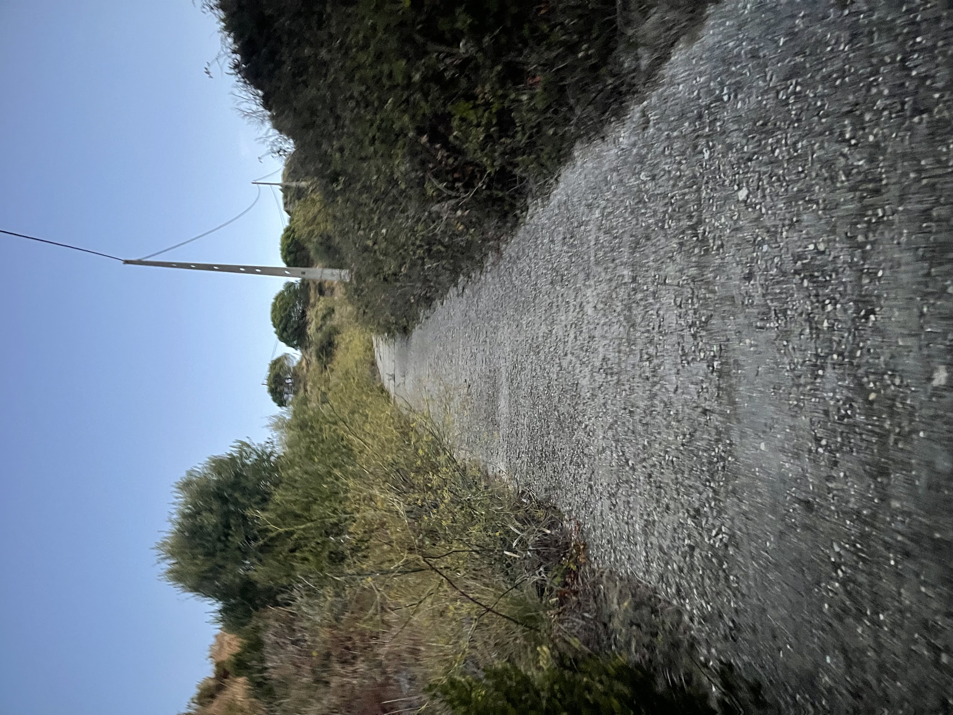
The asphalt of torture
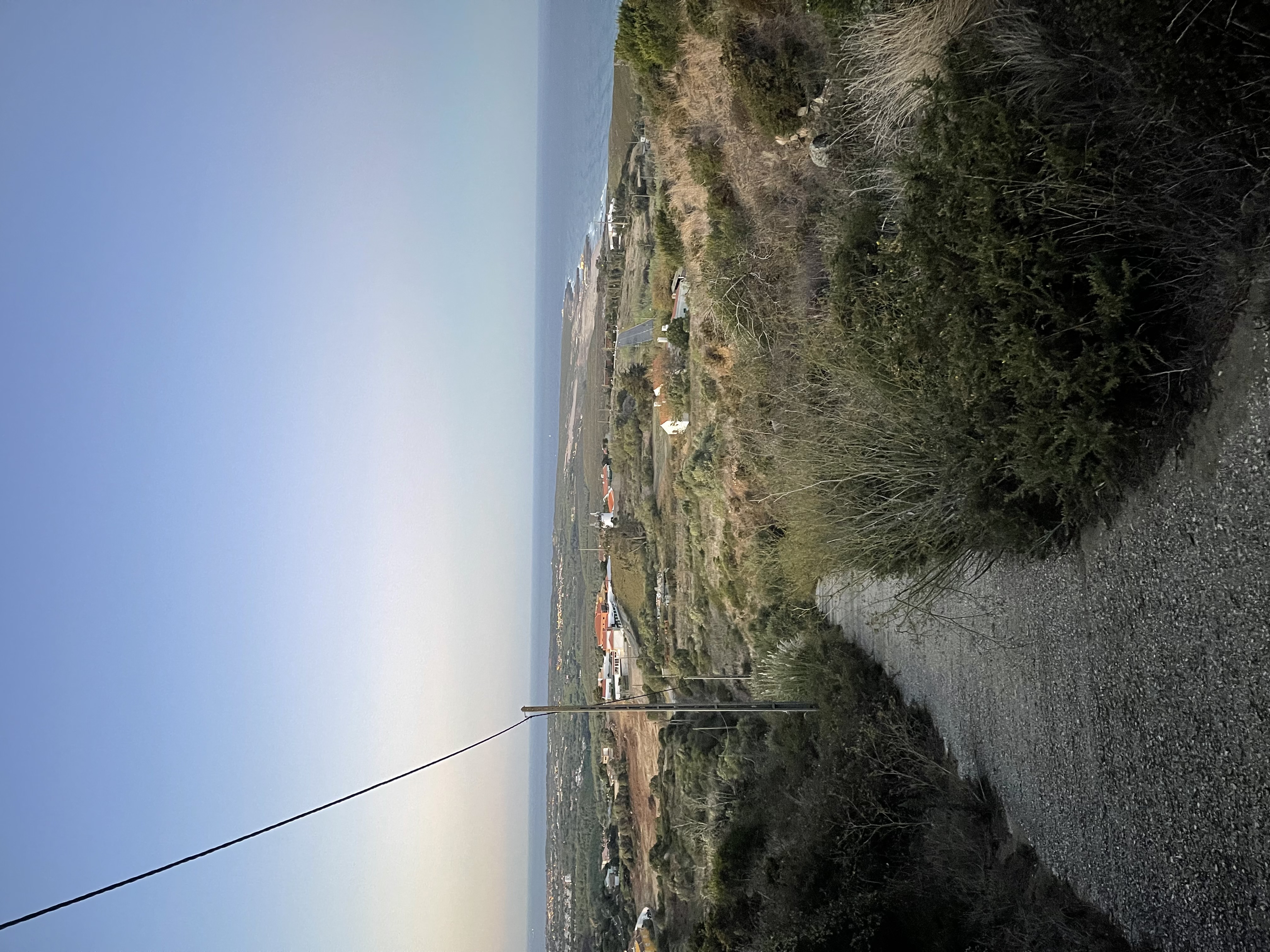
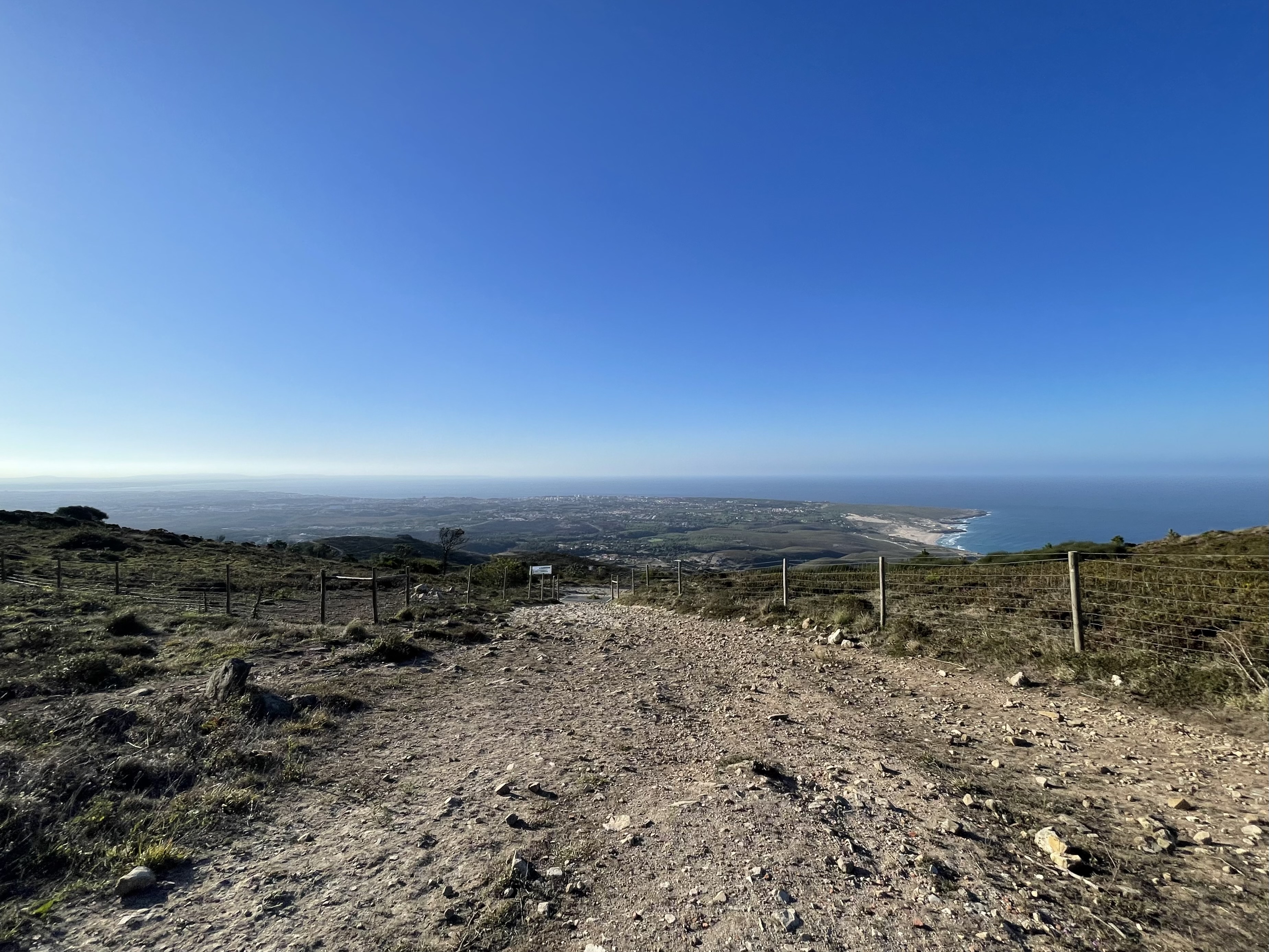
It’s like we are taking off vertically in a helicopter. Never have I gained so much field of view in so little distance covered. The trail at some point goes from dirt to a weird asphalt. Why on earth this asphalt is here is a complete mystery to me. I prefer the dirt because it being uneven will leave some indentations for placing the feet flatter. With the asphalt so steep, we have to do toe push-ups all the way to the top.
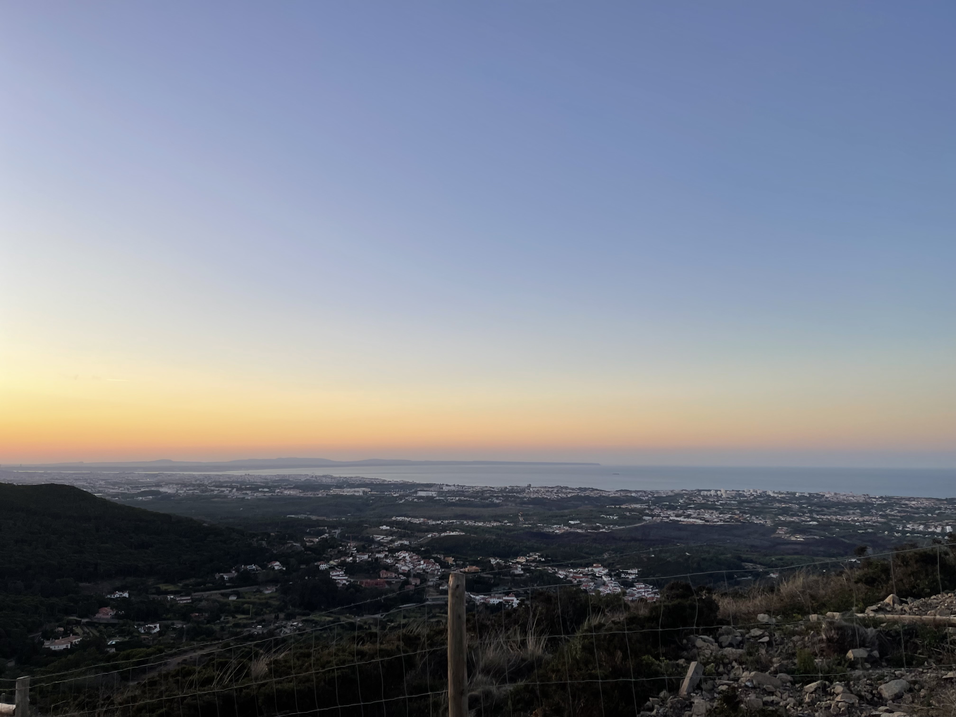
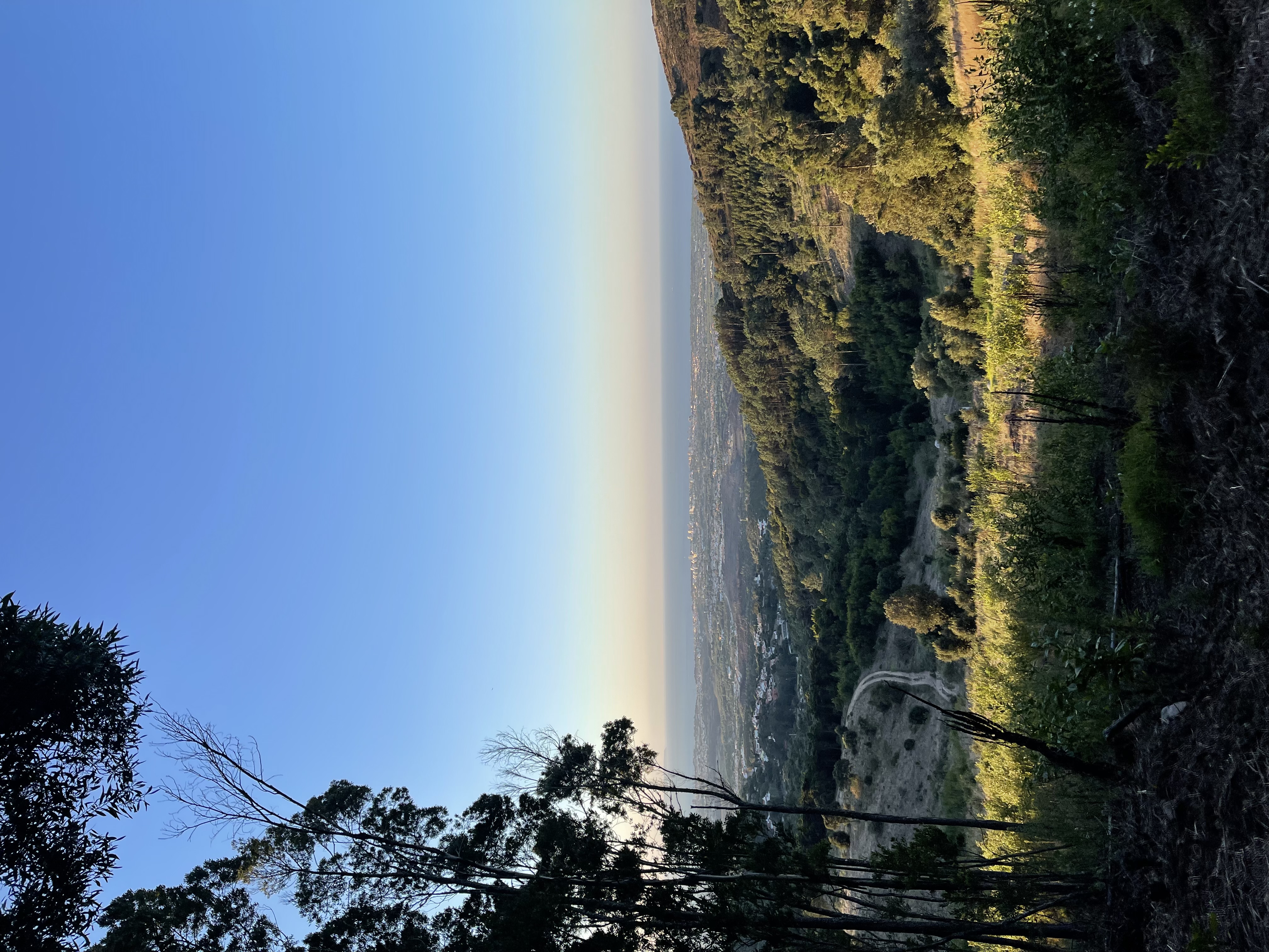
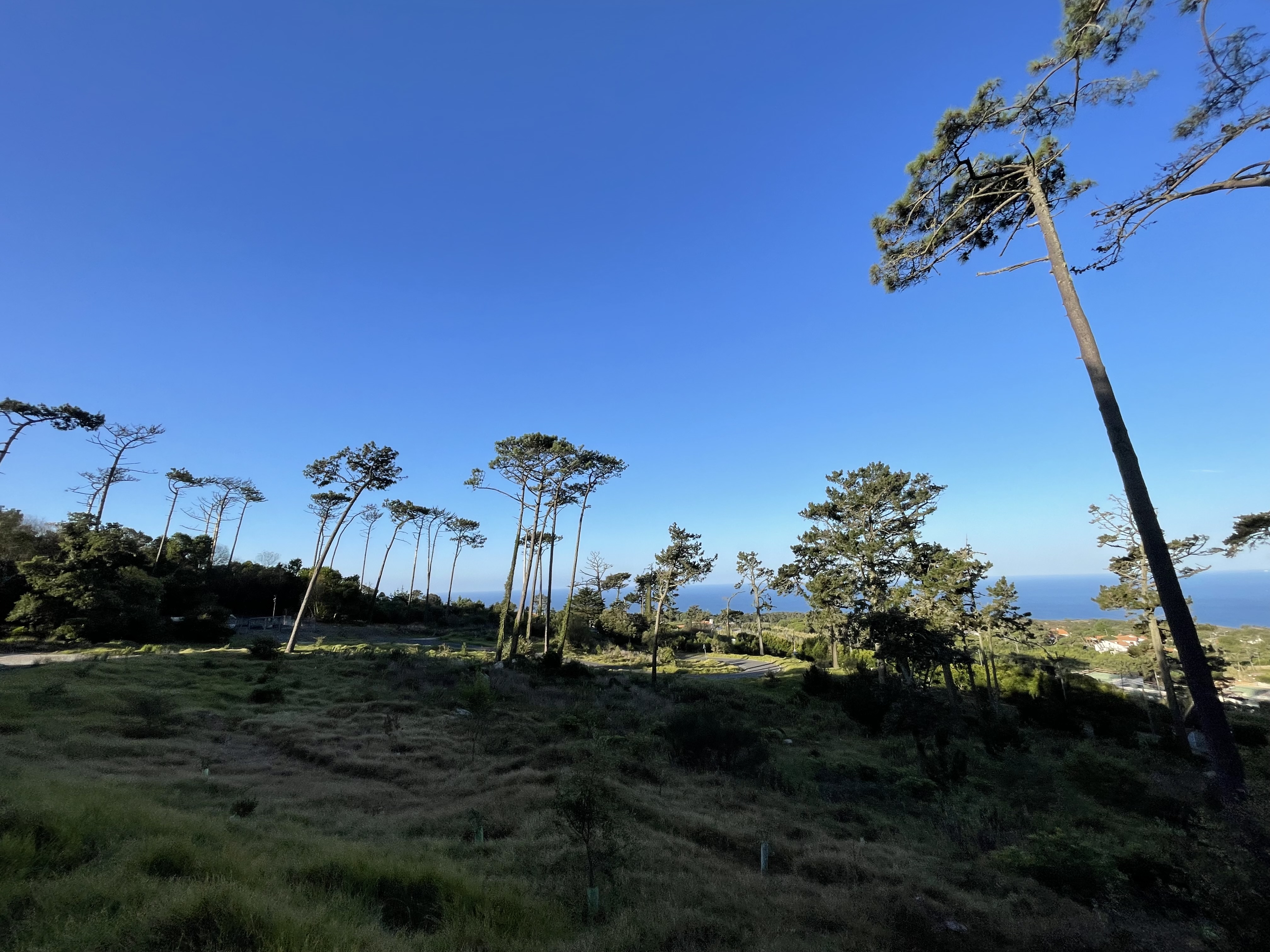
Guincho seen after the helicopter take off
Far in the distance, out of reach of my crippled zoom-less camera, is the 25 Abril bridge (Golden Gate - appropriately today)
After my first climb-humbling lesson from Sintra, I am spared 400m of flatter terrain to put my lungs back inside my body. Those went by faster than I had wished for. Sintra whips me again as I stare at the monstrous hill in front of me.
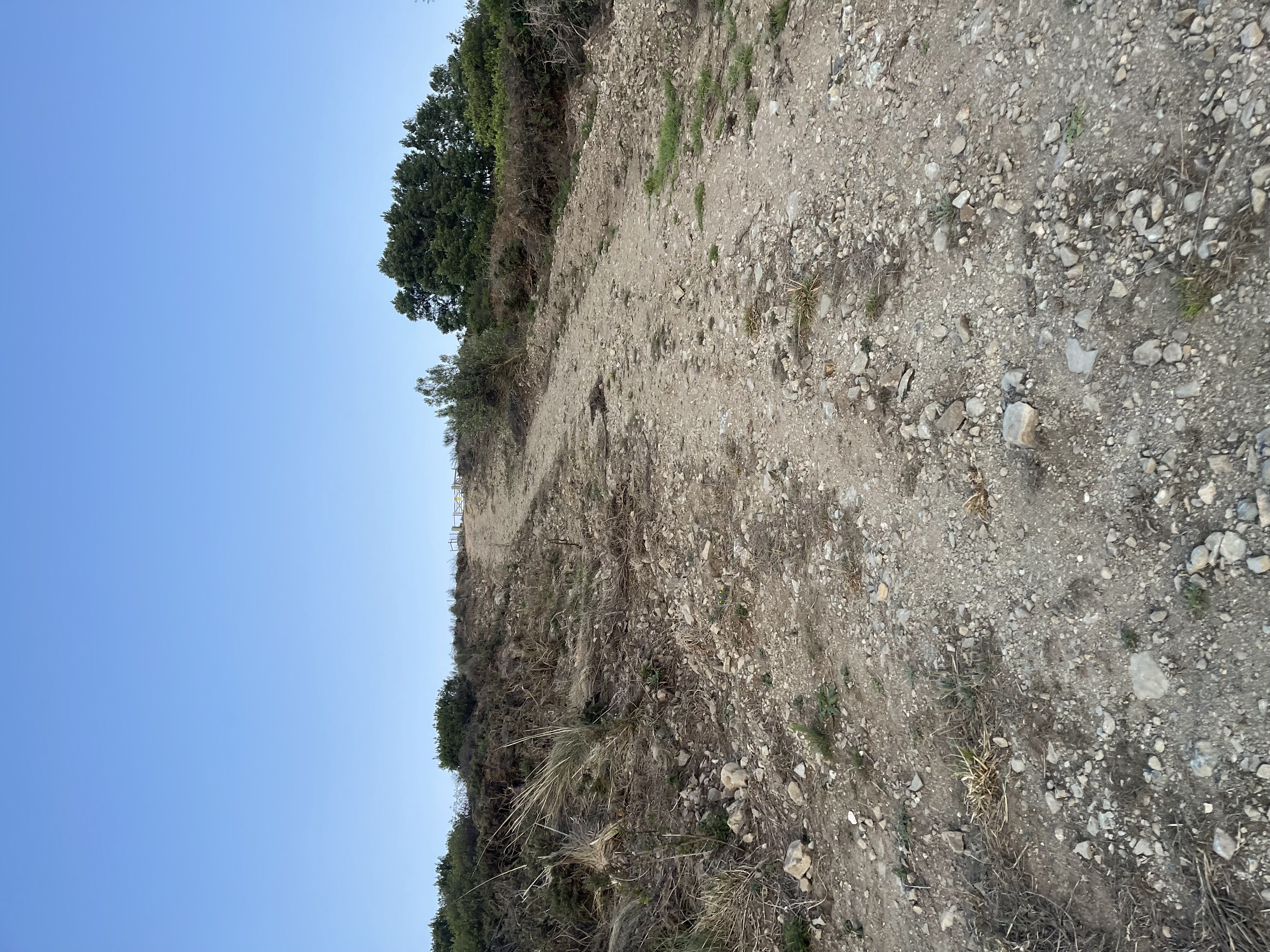
It’s a 700 m long climb. The last 400 meters have an average ascent grade of 25.5% - it looks as if Strava was drunk.
At some point I had to ski-up in zigzags to rest my legs a little bit. I feel tired again, but proud, as I write about it.
This is what 400m at 25.5% looks like
Kill me now! I was not expecting a closed gate with no way around it at the top of this hill. My impulse is to jump over it, but I did not want to get in trouble. I had read that they were introducing some new species in the mountain but if that means fences everywhere I am not going to be happy - especially if the goal is to have tourists come and see the “horsies” or Bambi. I hate fences, I “hate-squared” electric fences , and I “loathe-cubed” barbed wire - geometric progressive disgust.
Shoot me now - a closed gate with fence after getting to the top at the Everest
It has only been one mile of spitting my lungs out, and now I have to head back down and solve the traveling salesman problem while on the run - how the heck am I going to hit my spots now? I anneal myself down the hill as I think of a solution to this unexpected interference in the matrix… (this “metaphor” is dedicated to a wonderful trio of good friends, top-notch developers, who put up with my crazy incursion into the simulated annealing algorithm 26 years ago - it’s coming back in quantum computing).
I will miss this amazing sunrise
Going down this hill is no easy task. There are too many loose rocks, it’s a slow descent for me. The view is magnificent only disturbed by the strong wind competing with my panting. It’s cold up here! Today, there is a clear view of the Arrábida mountain range about 40 km away from Sintra. Similar in size and in height but not as moist as Sintra, Arrábida is also an interesting spot for mountain biking and trails. It would be interesting to do one of my runs there - note to self…
The Arrábida mountain range far in the horizon - Sintra’s “sister”
My decision is to keep trying to stick to my planned route as much as possible. I would go on following alternative trails with similar headings that eventually would take me around the fence. Like most things in life, if you keep doing the right thing, you will eventually be rewarded. And I think this can be proven statistically. Most people give up too soon, are not perseverant or consistent. This means that statistically they will fail with higher probability. Therefore, if you keep going at it, just because of your presence, you have a higher probability of succeeding. It’s rarely luck, even though we see it like that because we wish there to be a shortcut for everything. It’s an oversimplification of statistics and life, but probabilistically, it is correct - at 53, I have enough samples to prove it empirically too.
Getting back into the trees.
After having dealt with my dead-end Dirac, I was now working on a Gaussian profile that was no picnic either. I was only at km 2.5 when I have to labour up another 500 m long climb, today with now normal distributed 20% stretches, showing up more often than my morning coffee. I use the free APP GPX Tracker while on my runs to load my routes. As I was crossing many single-track trails, it is easy to drop pins in the APP to later investigate if they are worthwhile bike paths. I sometimes do it too in the middle of cities if there are places that I later want to check out. I have used this APP sometimes recording for more than 4 hours and it has been very reliable.
I hit one of the planned checkpoints, later I would be back here.
I dropped half a dozen pins during today’s run, but alas, Murphy was in town GPX Tracker crashed and I lost them all. Too much confidence skews the goal. The solution is easy, when you drop the pin, hit save the route too. This APP is very interesting.
Next in my long list of ideas is having these APPS be prepared to be controlled through voice or physical buttons. After a few kms I am like a soaked bath sponge, and so is everything that I have on me. My phone, my watch, my car key fob. Touch screens become useless, we need to be able to make use of physical buttons or voice. “Center map on my position”, “Zoom in”, “Pan west”, “Drop pin”, “Open Camera”, etc…
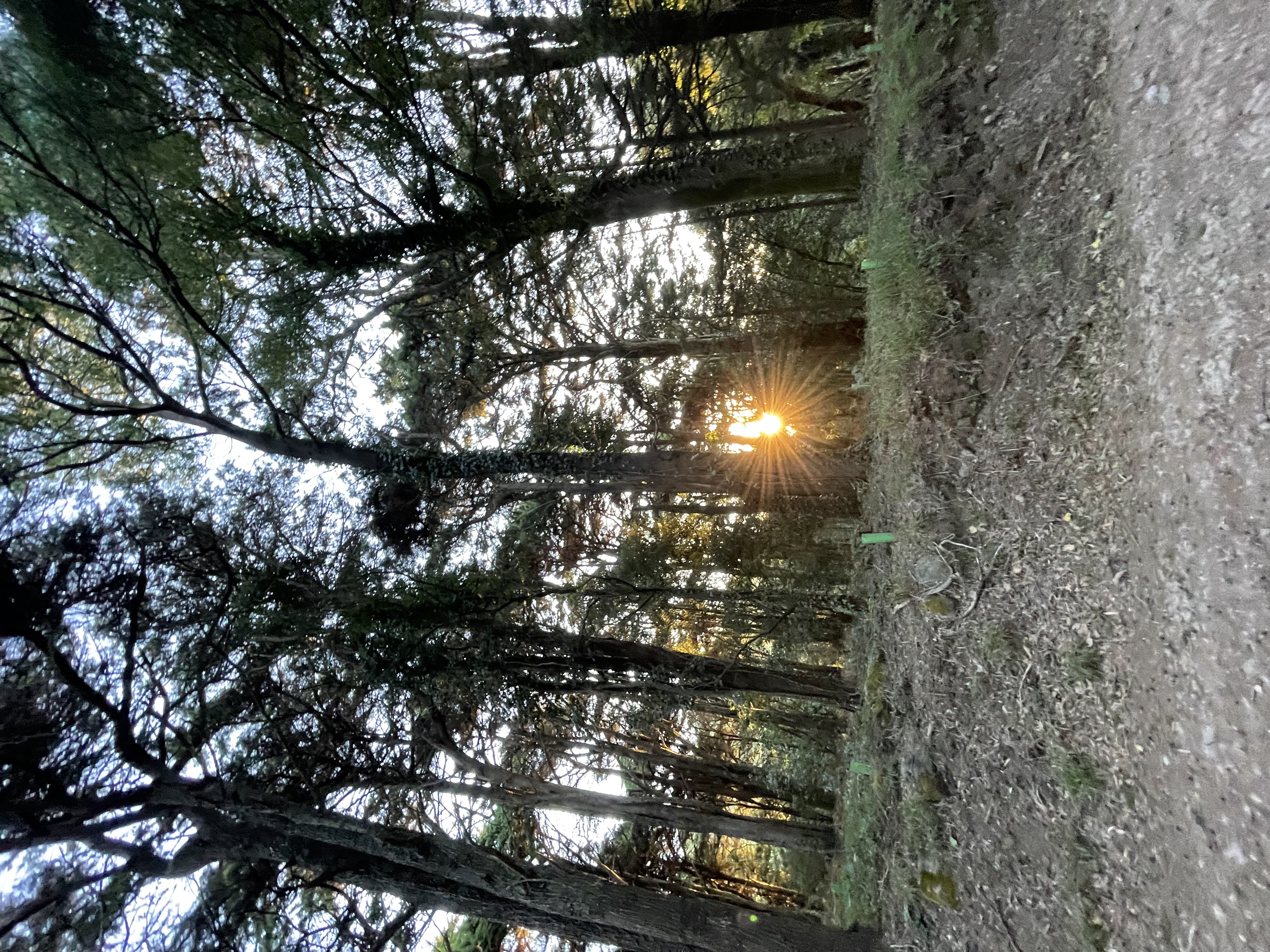
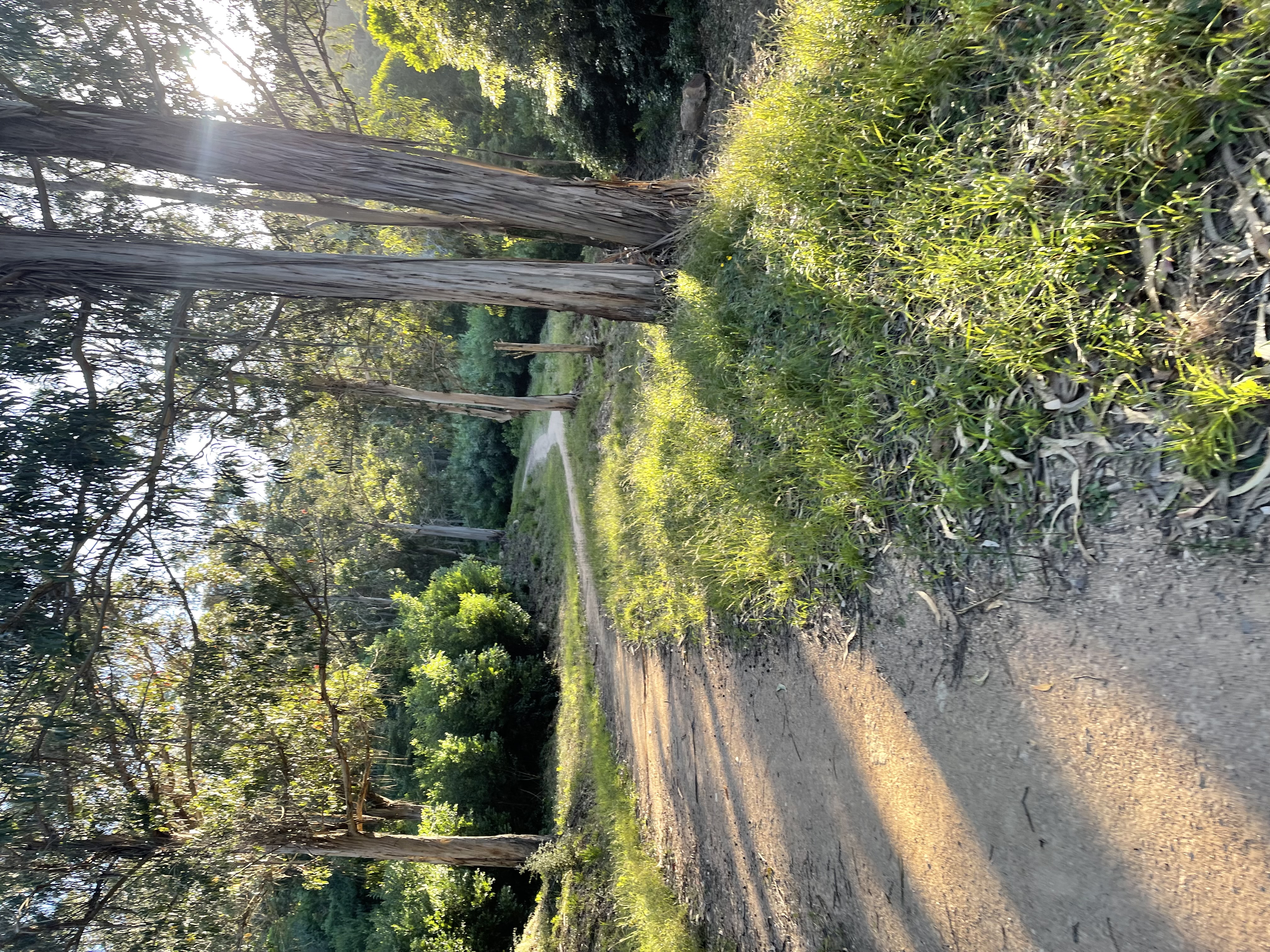
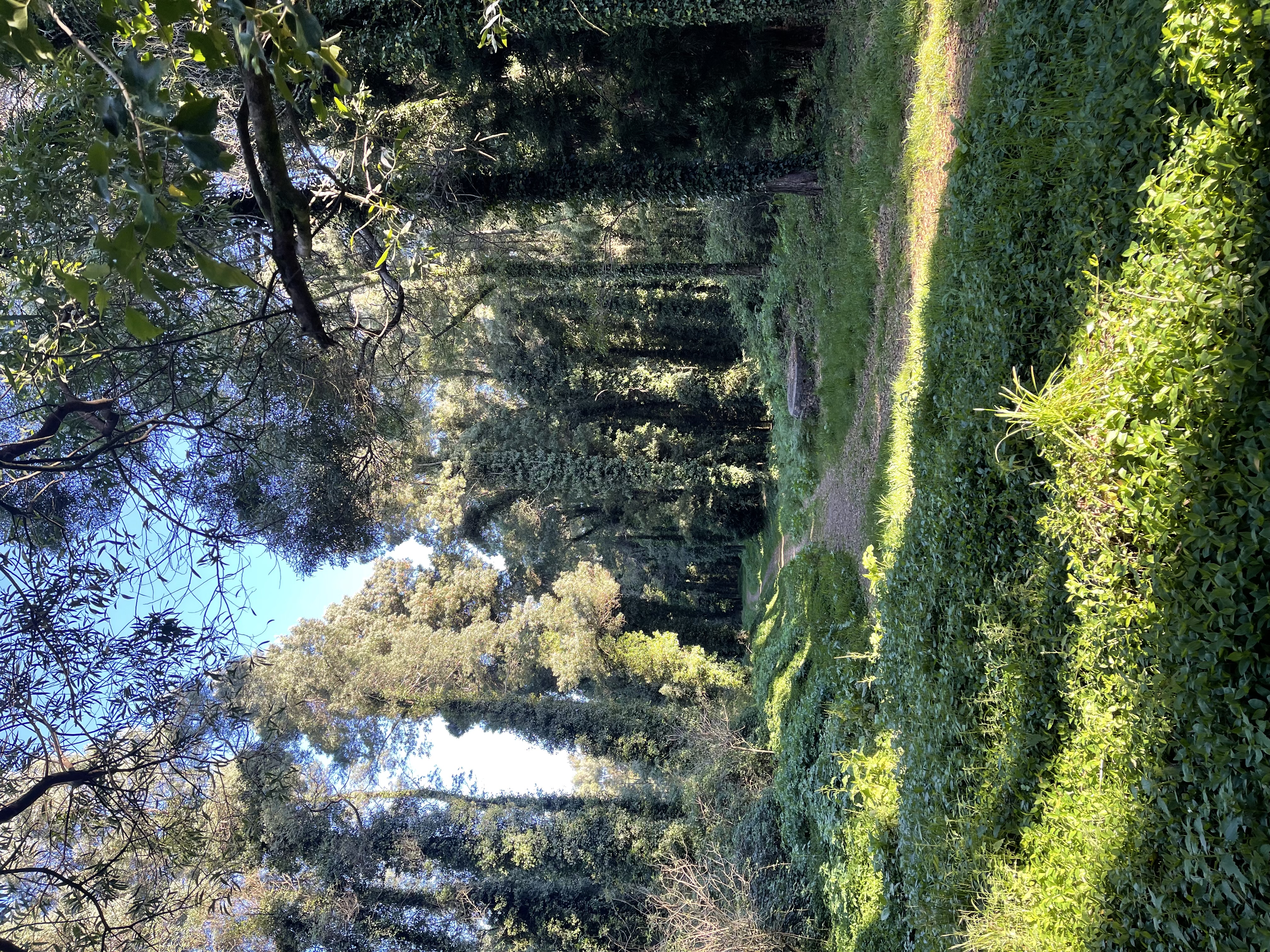
The sun coming through the trees in Sintra is a spectacle to be seen
We will be climbing for roughly 2.5km until the 5th km and the view behind tells the story. I am thankful for the trees, because I truly have become a vampire hiding from the sun. Mid-week I did a short 8km run under the sun and lost 2 kg sweating - unbelievable and scary.
There is hope; I hopped on a trail that was heading exactly where I wanted to go.
Downtown Cascais in the horizon - the photo always makes it smaller and less dramatic
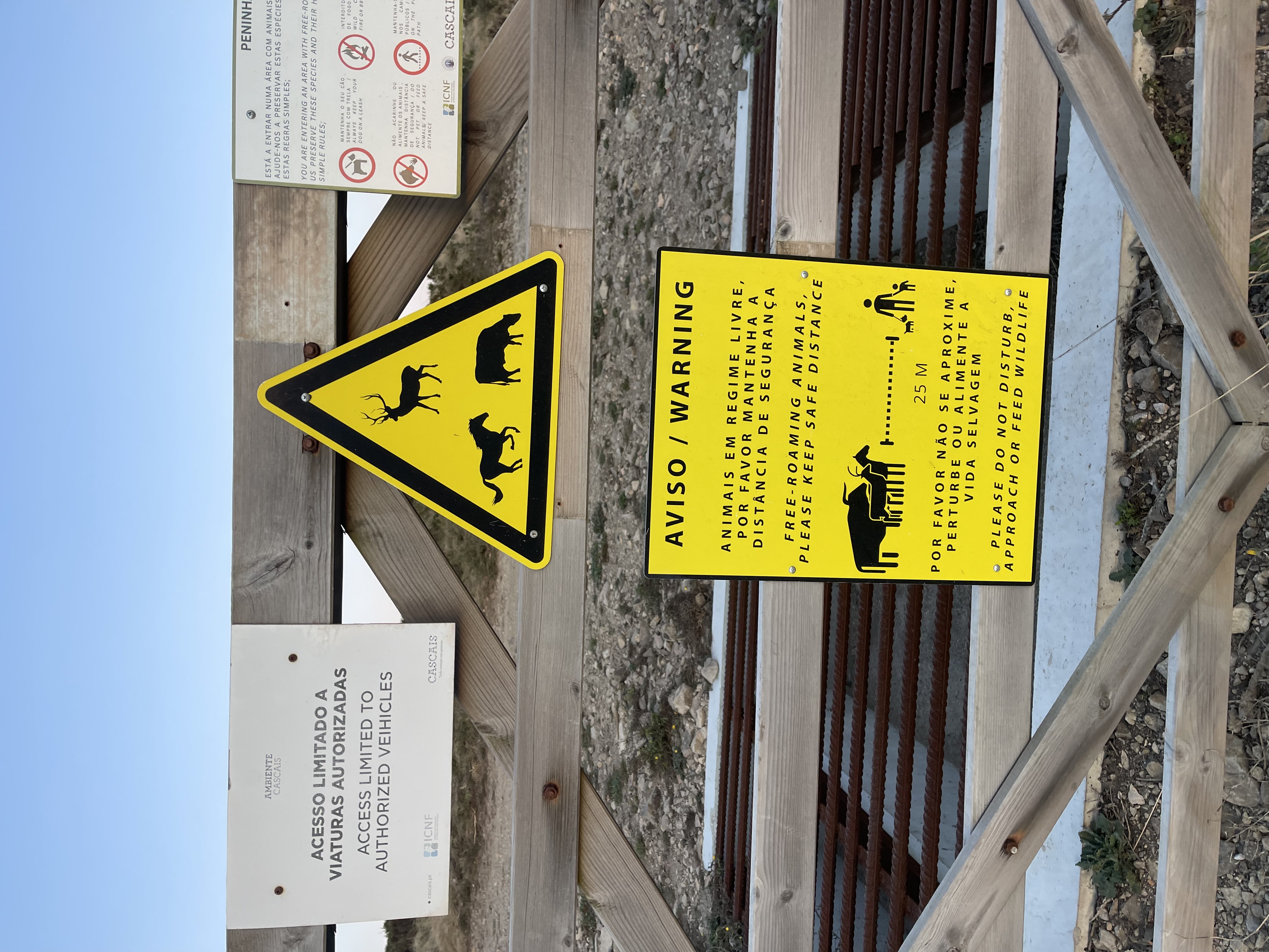
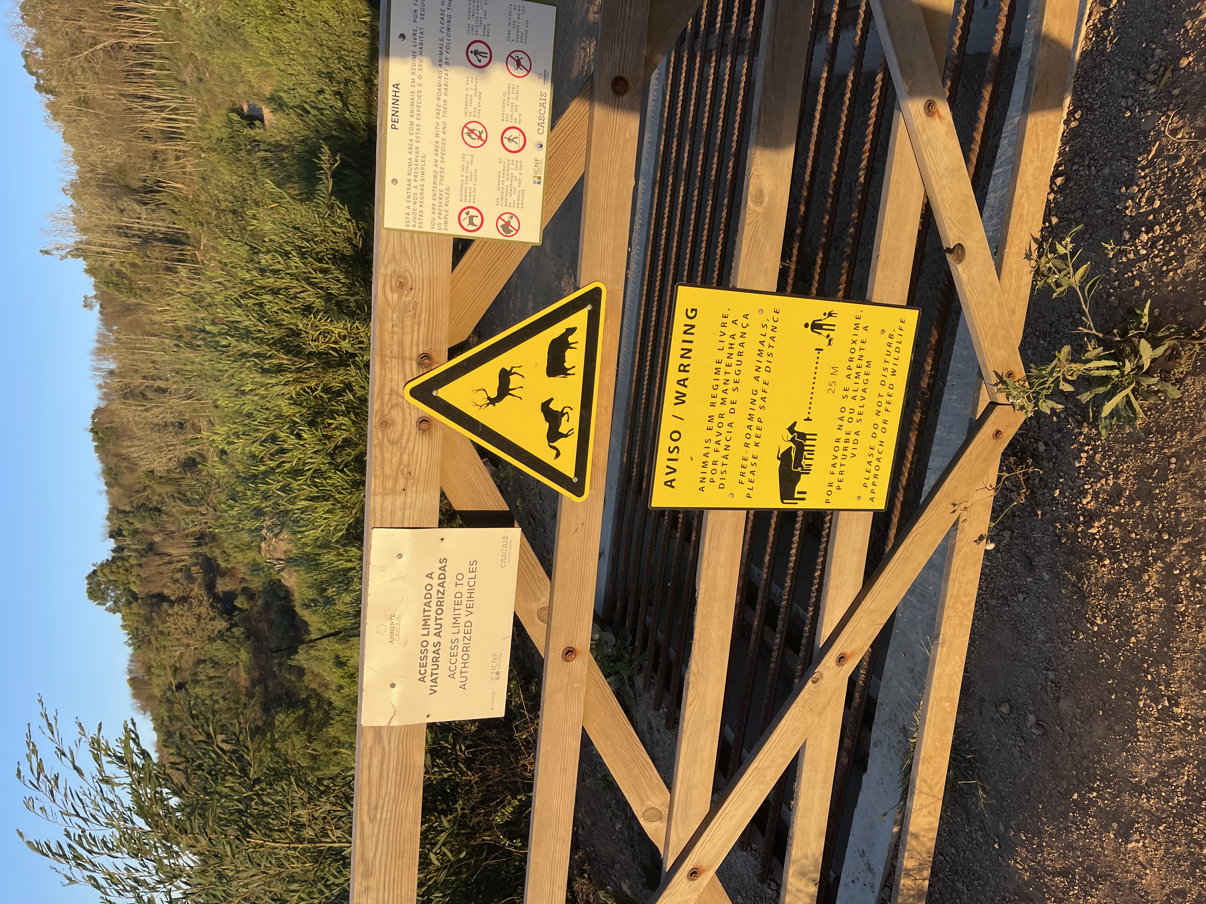
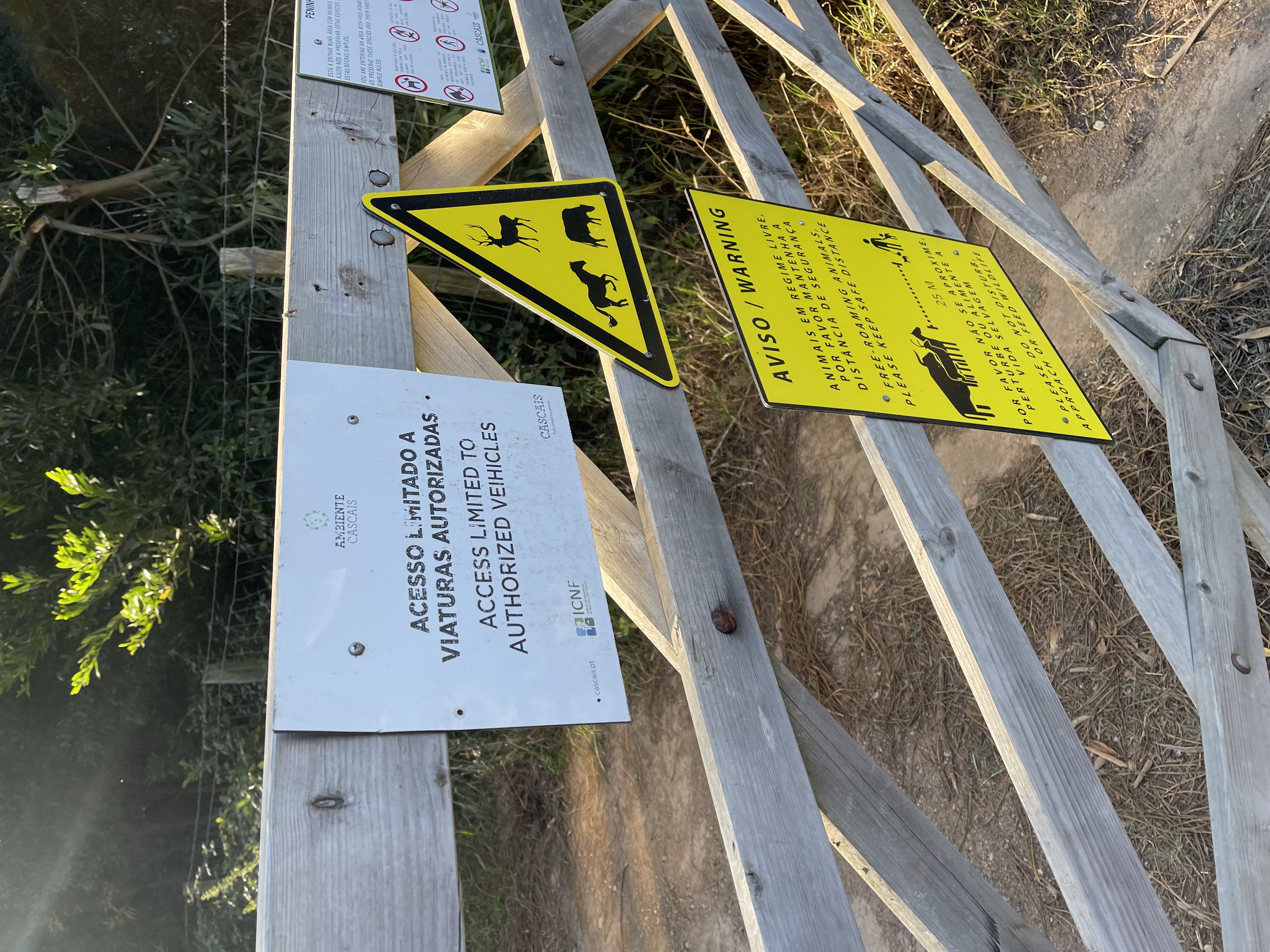
I had never been on this trail but had crossed it many times coming down on my bike. The trail is nice, not too wide and with plenty of vegetation. It’s beautiful. My enthusiasm gets curbed as I glance ahead and discern another gate with labels and a fence. As I get by the gate I almost kicked it in anger after reading the affixed copy-paste labels.
Trail breakthrough… until it’s not
Yellow screen of death in Sintra
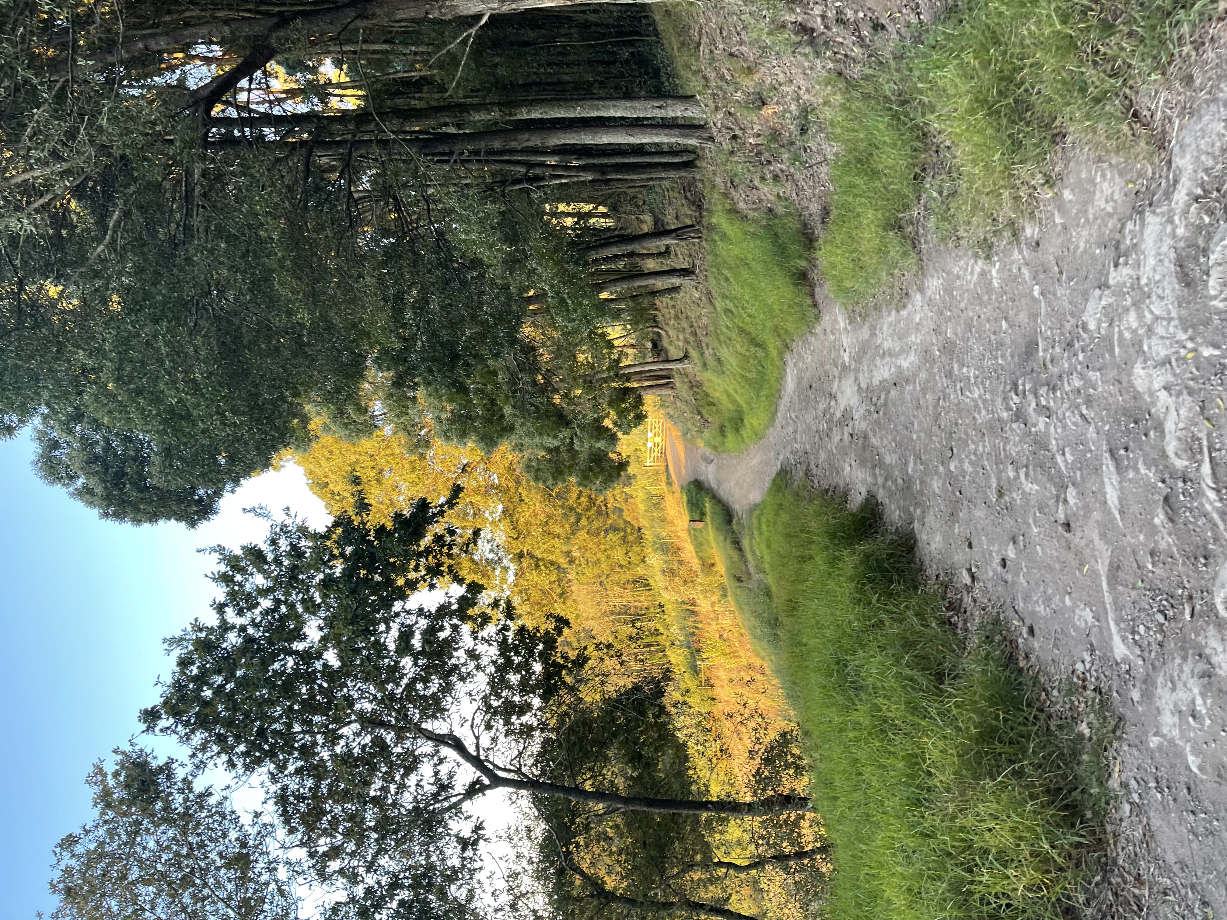
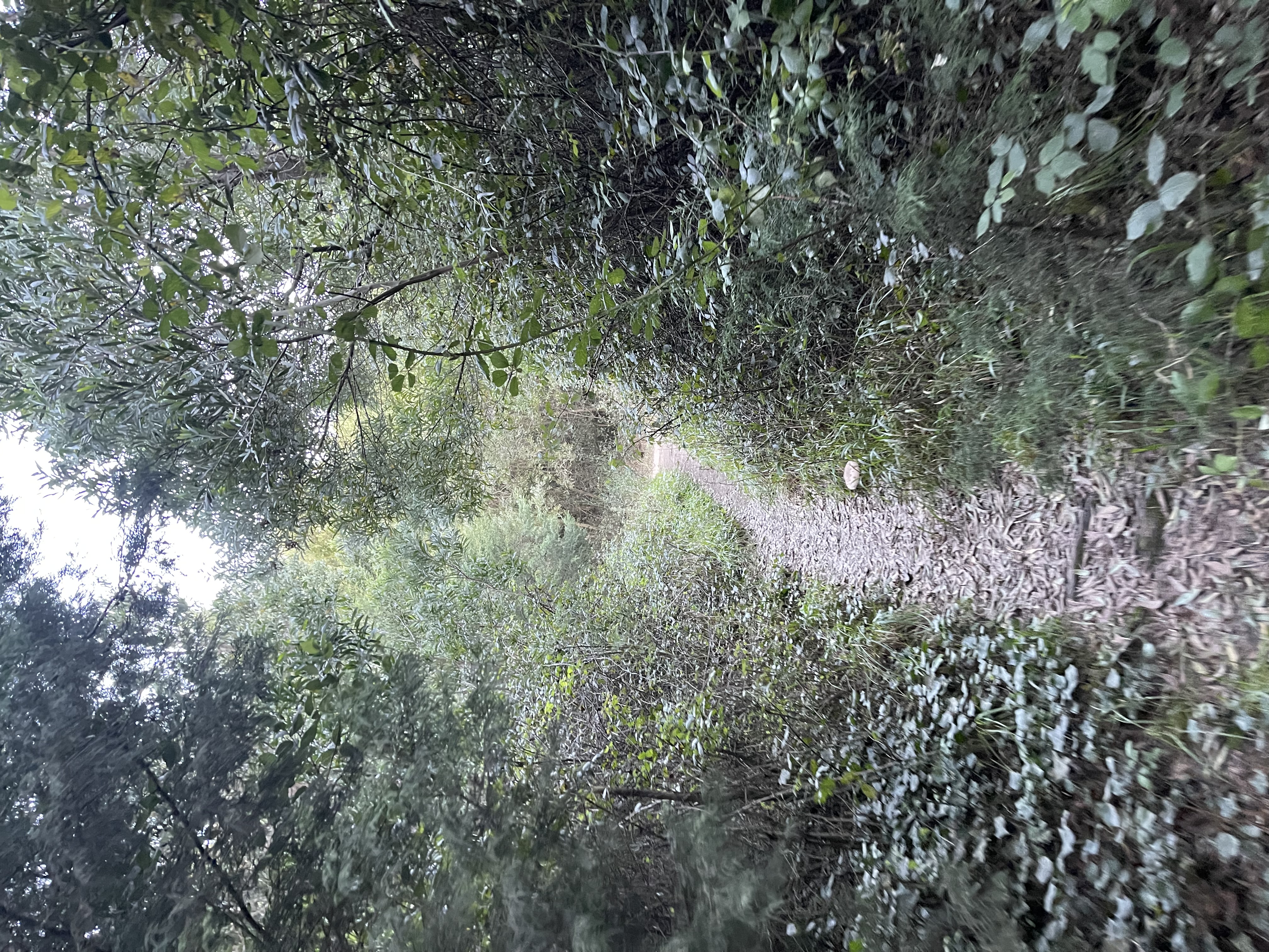
Sometimes we let ourselves go blind by our fears - focus on the problem - when the solution is right before our eyes. And so it was. I was so focused on being mad about the fencing that I had encountered earlier that I had missed the single track going along the fence right where I stood. This was even a single track known to me, that I had ridden a couple of times a few years ago - it has some challenges. It would take me exactly where I wanted to go. Focused perseverance, the real-life compound interest rate.
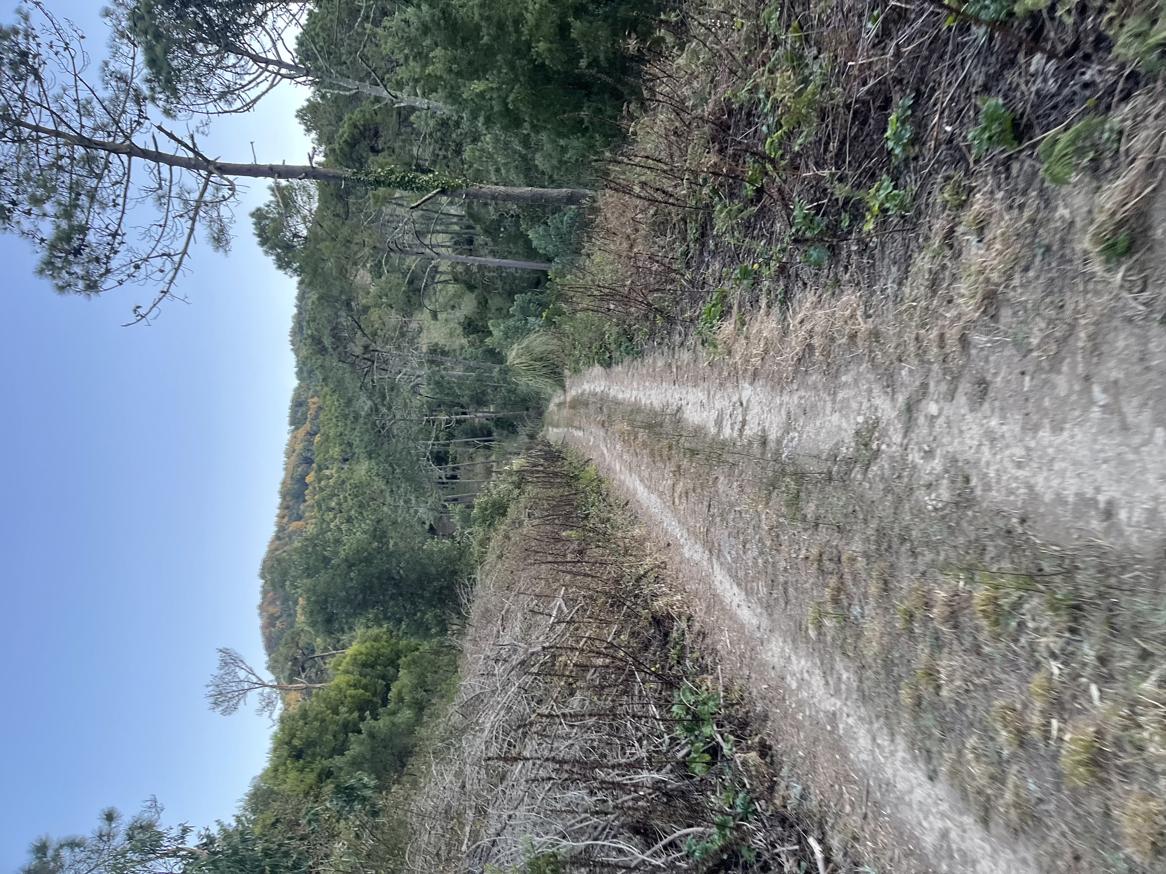
The way out gift trail
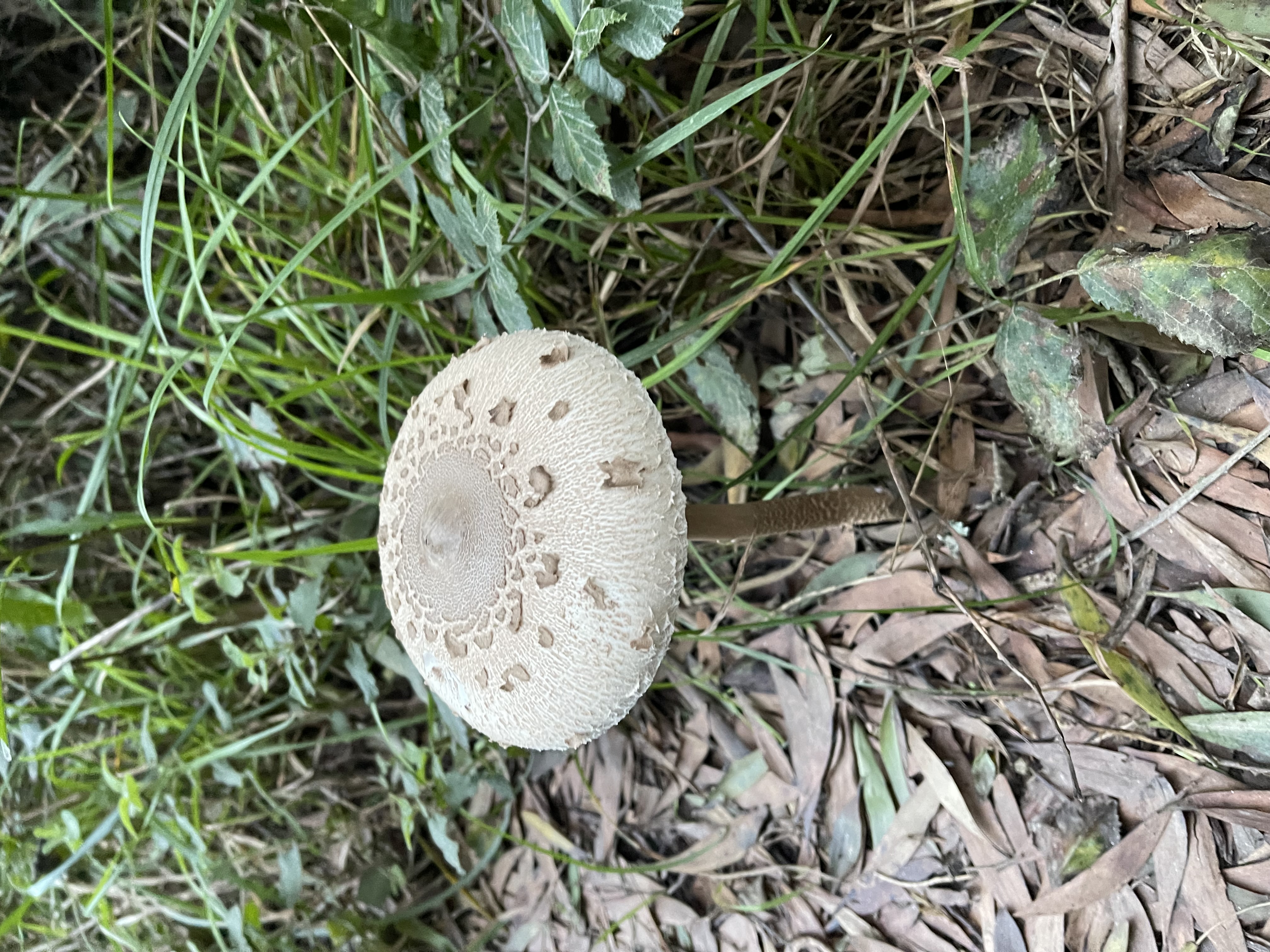
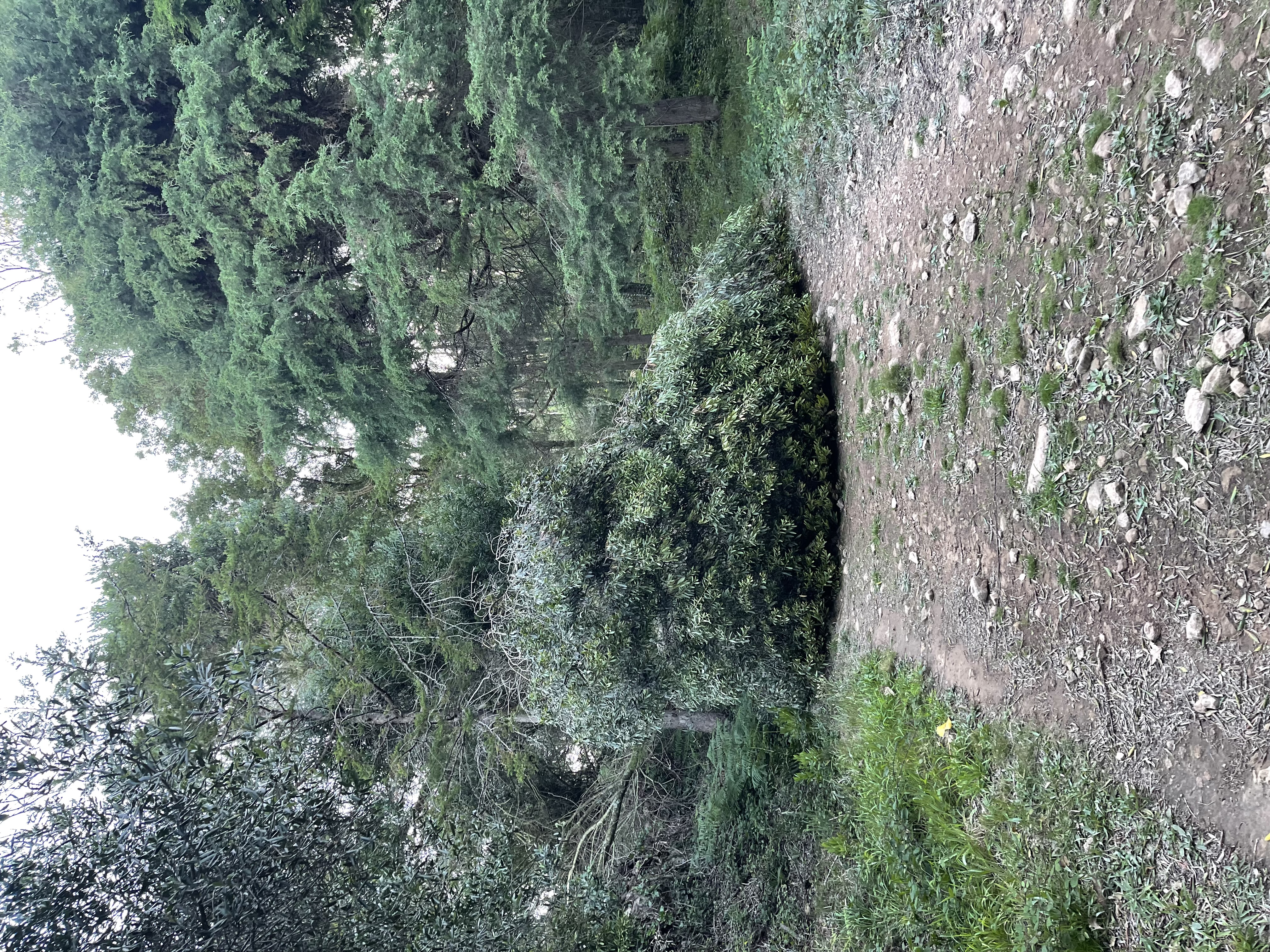
Hard to tell from the photo but this was a really big mushroom
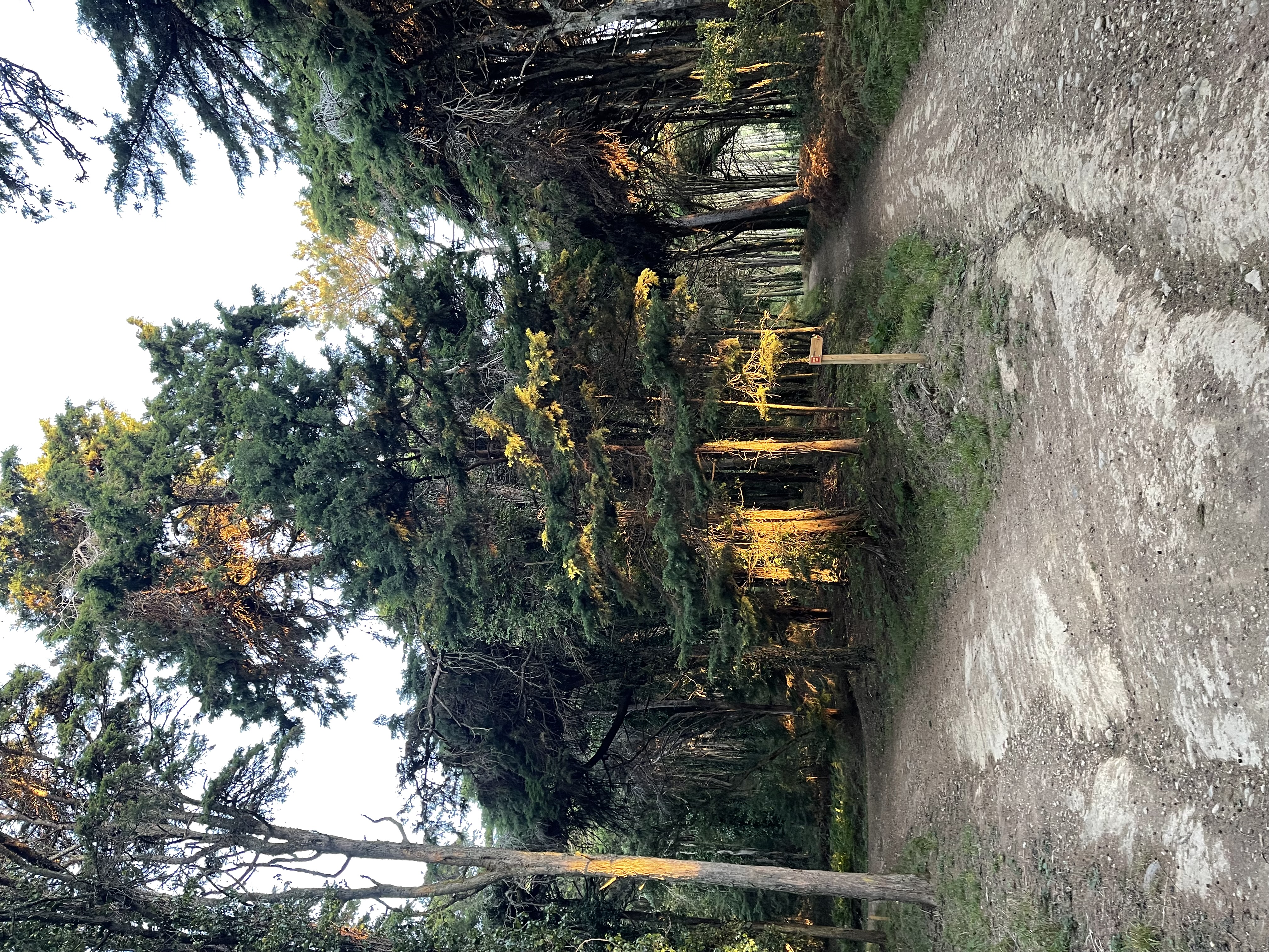
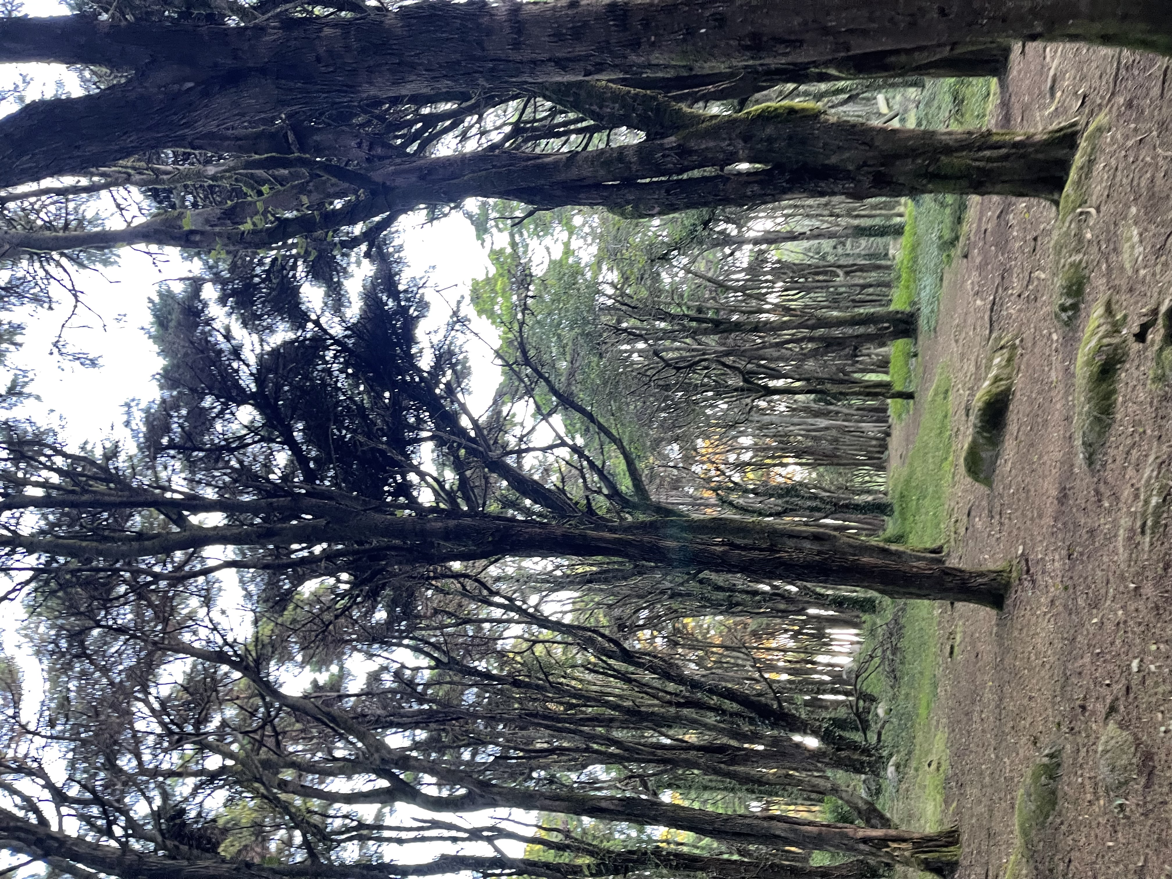
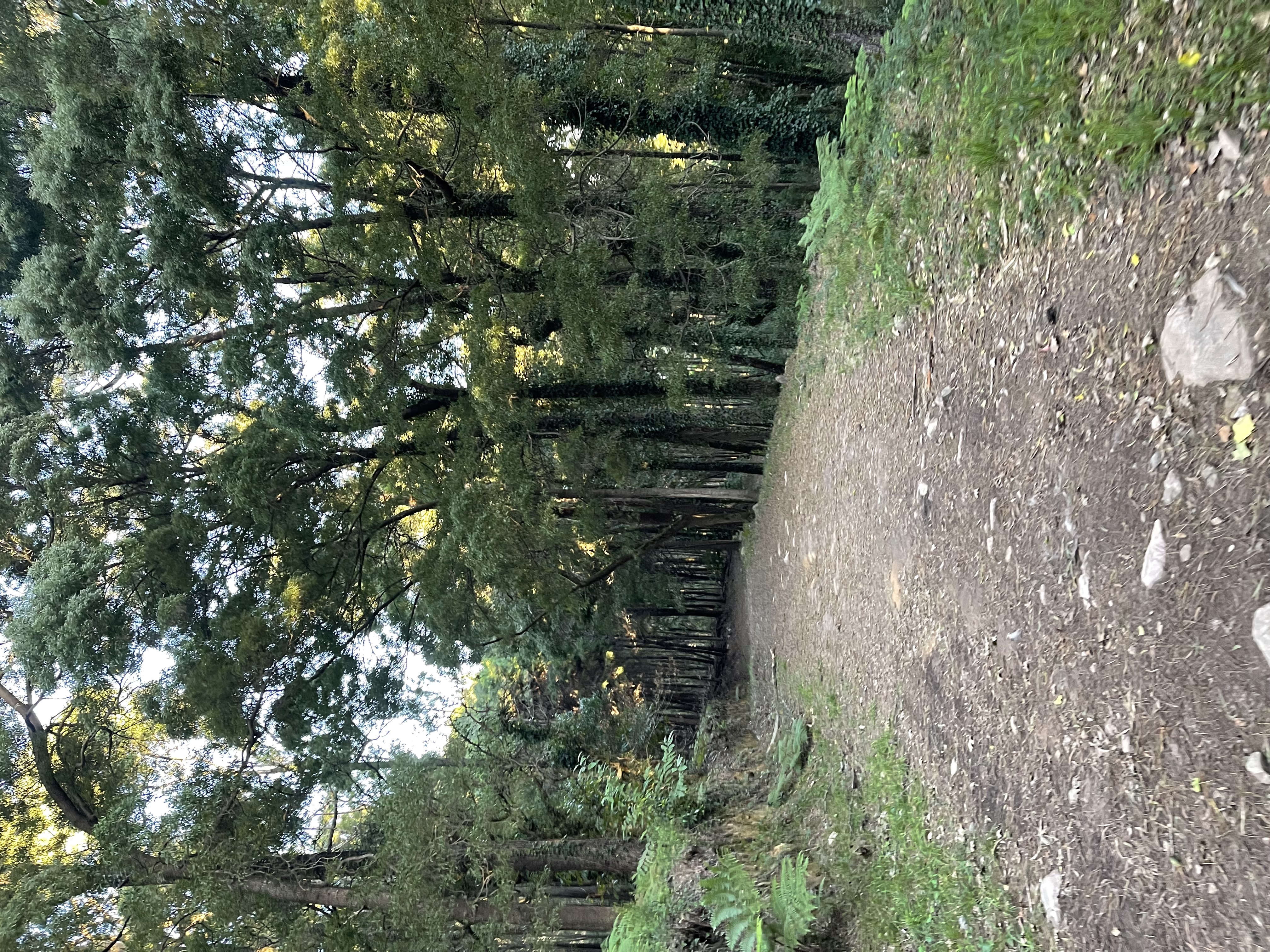
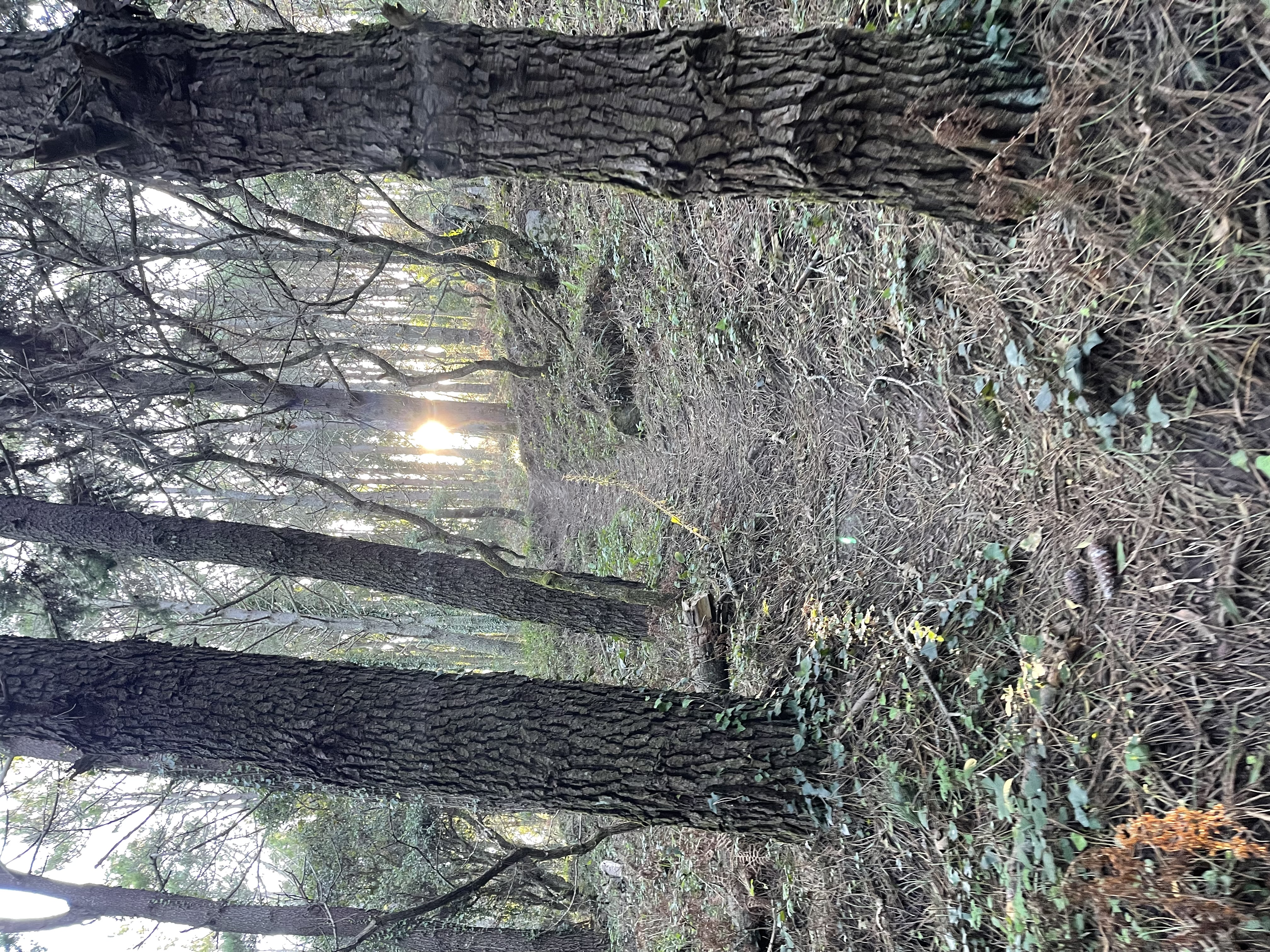
As we get to the top of this hill, at the bottom of Peninha, it is time for another incursion into the enchanted forest. There is no mist today, but the forest has its own. We could very well stay here doing loops on the several paths through these woods for the remaining 15 km. I can’t say that I am in a hurry. Today I suffered stoically to get up here, mostly.
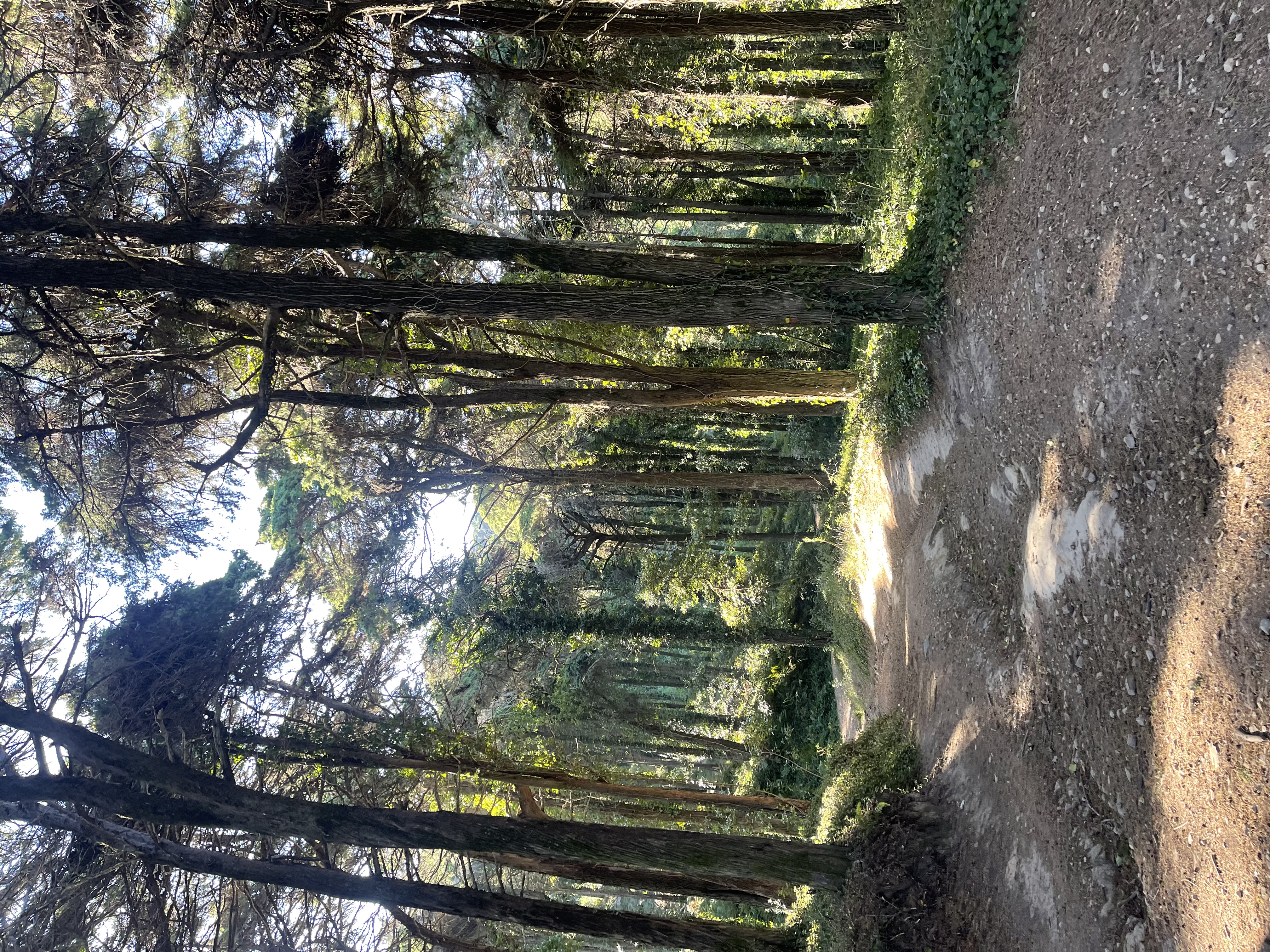
The infinite enchanted forest
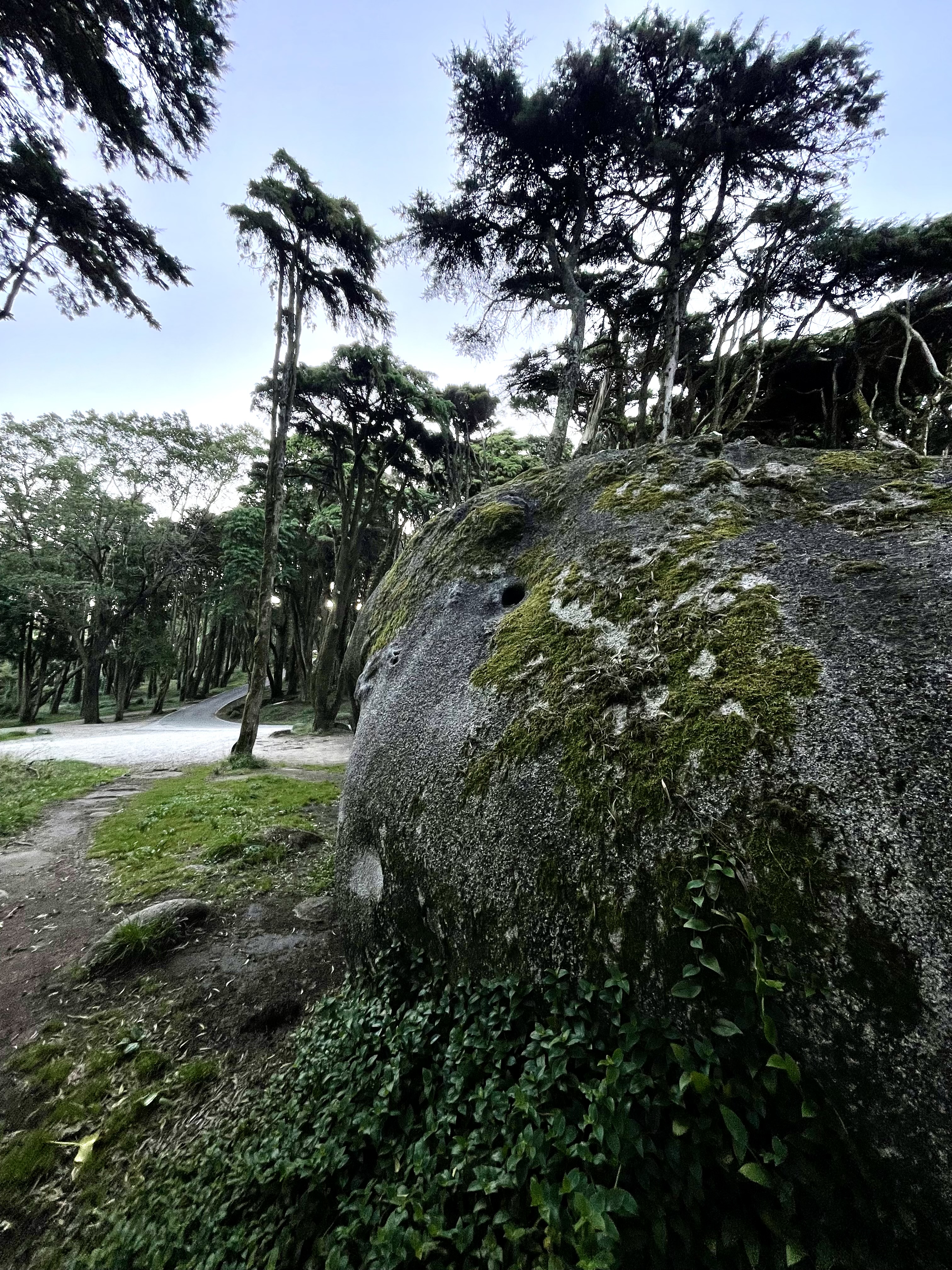
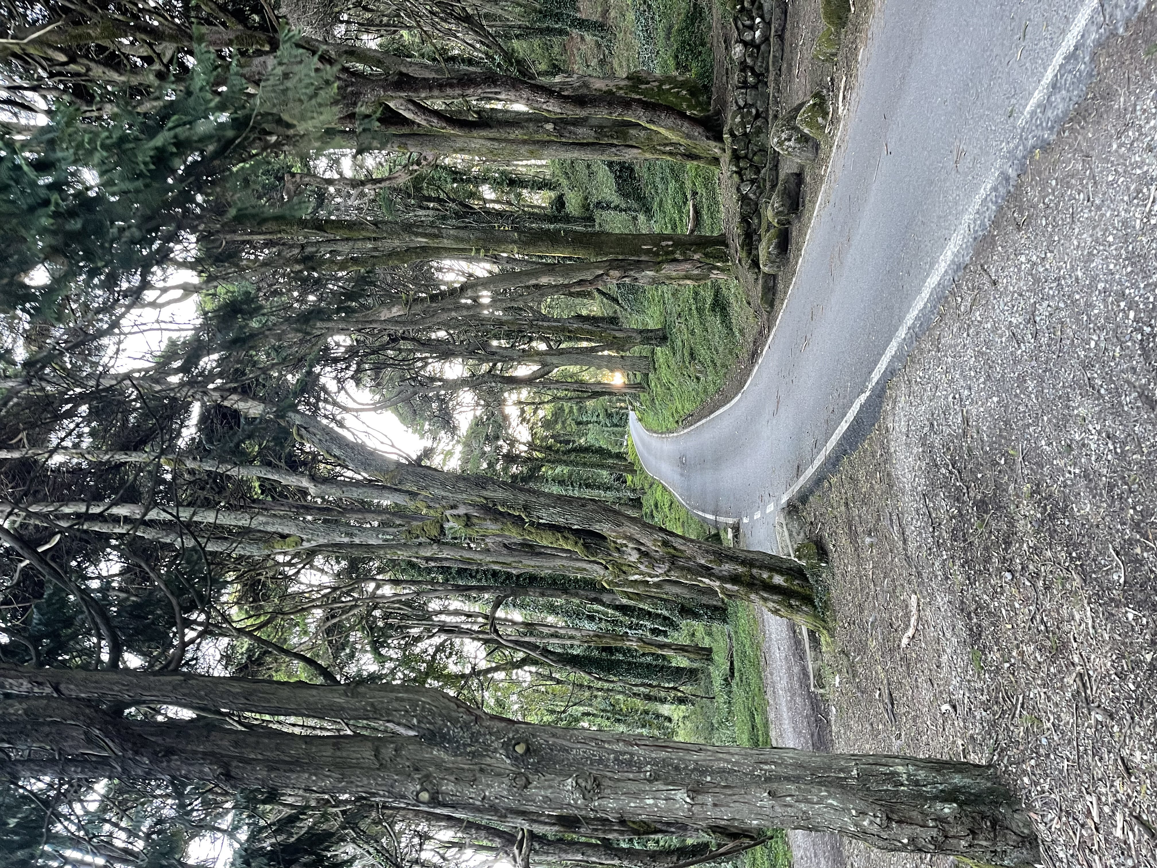
One of my favorite boulders by one of my favorite roads
The sun peeking in the perfect spot - if you are road bike you need to ride here
It’s now going to be 4km of the slope down the gaussian. I am curious about what lies ahead. I use a small portion of this wide trail for connection to the MTB slopes, but have never followed it all the way down the mountain to the north. I don’t want to dwell too much on the odds, but I found another fallen tree right where I ride almost every single time that I come to Sintra.
Another sample for the fallen tree stats
I will rest for 4km. The trail is extremely wide and pleasant. It is an easy way down enjoying the view in a moment of meditative solitude. As usual I have been mostly by myself in the mountains and I have been incredibly fortunate with the weather conditions in most of my runs. This descent is carrying me down in the clouds. Sintra whipped and now is pampering me like a king.
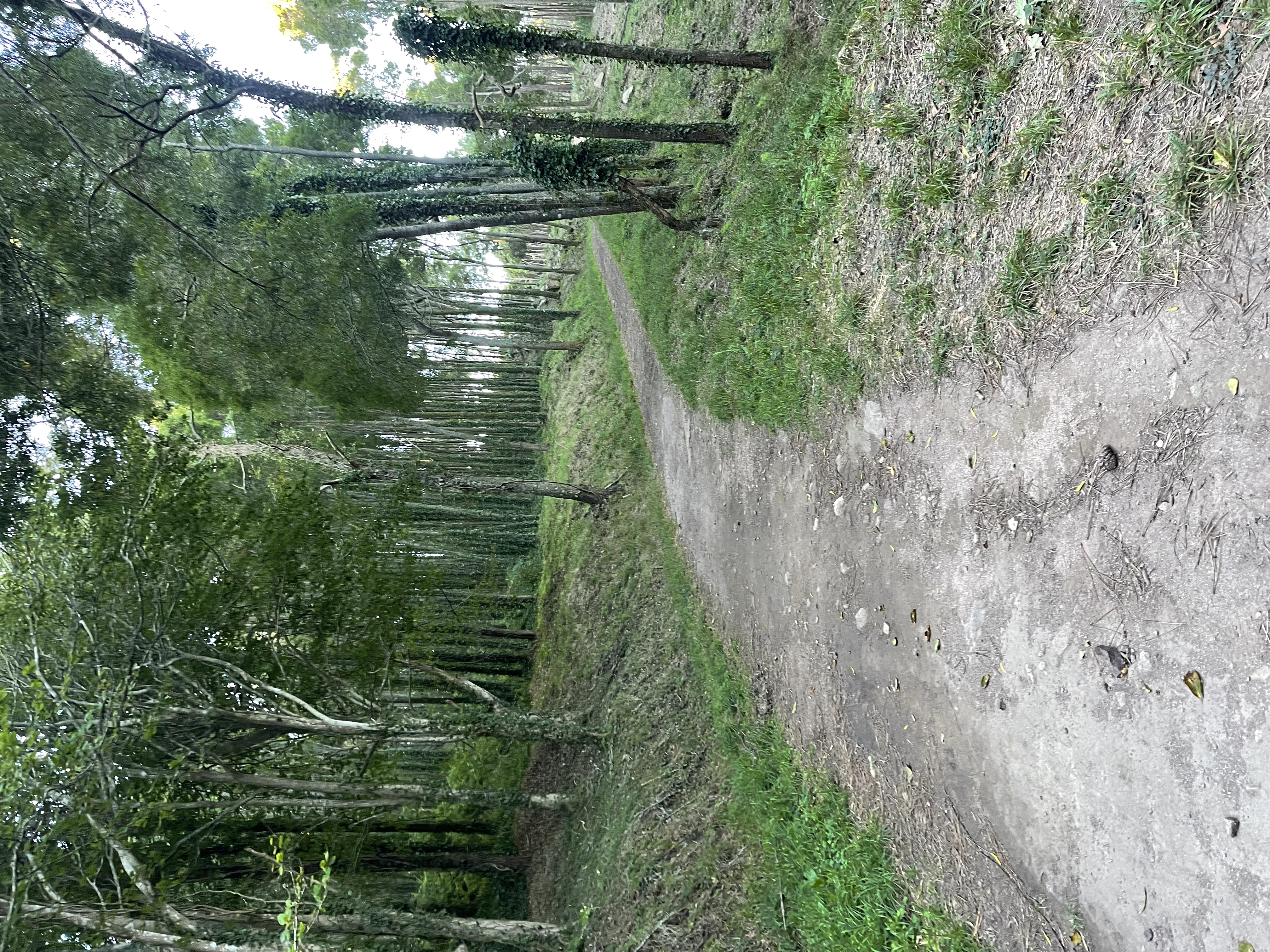
The trail is beautiful for a lazy bike ride or long walk with the family
I don’t come as often to the northern region of the mountain, something that I need to change. I am surprised that this large trail seems to run forever without crossing any main roads. In my mind map, it feels as if I became trapped inside a Möbius strip. Eventually I snap out of my trance and find myself on the asphalt road to Cabo da Roca. 700 meters of a glorious descent that I know all too well. Kind of, because I had never paid attention to a wide trail by the road at km 10.8.
The western tip of the Sintra mountain close by Cabo da Roca - New York over the horizon
What I knew very well, is that from where we stand, the only way back is upwards, and sometimes requiring to dig in my pockets for a karabiner as we did earlier on. I know the trail where I am but have never been on it here. Like a sixth sense from tribal warriors who have lived in the mountains all their lives, my instinct works better than a GPS here (which is not hard because the coverage is spotty).
The path is gorgeous
Again, I cannot recommend enough this trail for a family walk or bike ride. If you have an e-bike (it does not have to be an MTB) this ride is a must. Drop some food and water on your backpack, together with a book, and come and clean your mind in this sanctuary. Or even better, walk or ride along with friends and family leaving your phones behind (heck bring them along, there will be no coverage). Come and master the forgotten art of having a conversation.
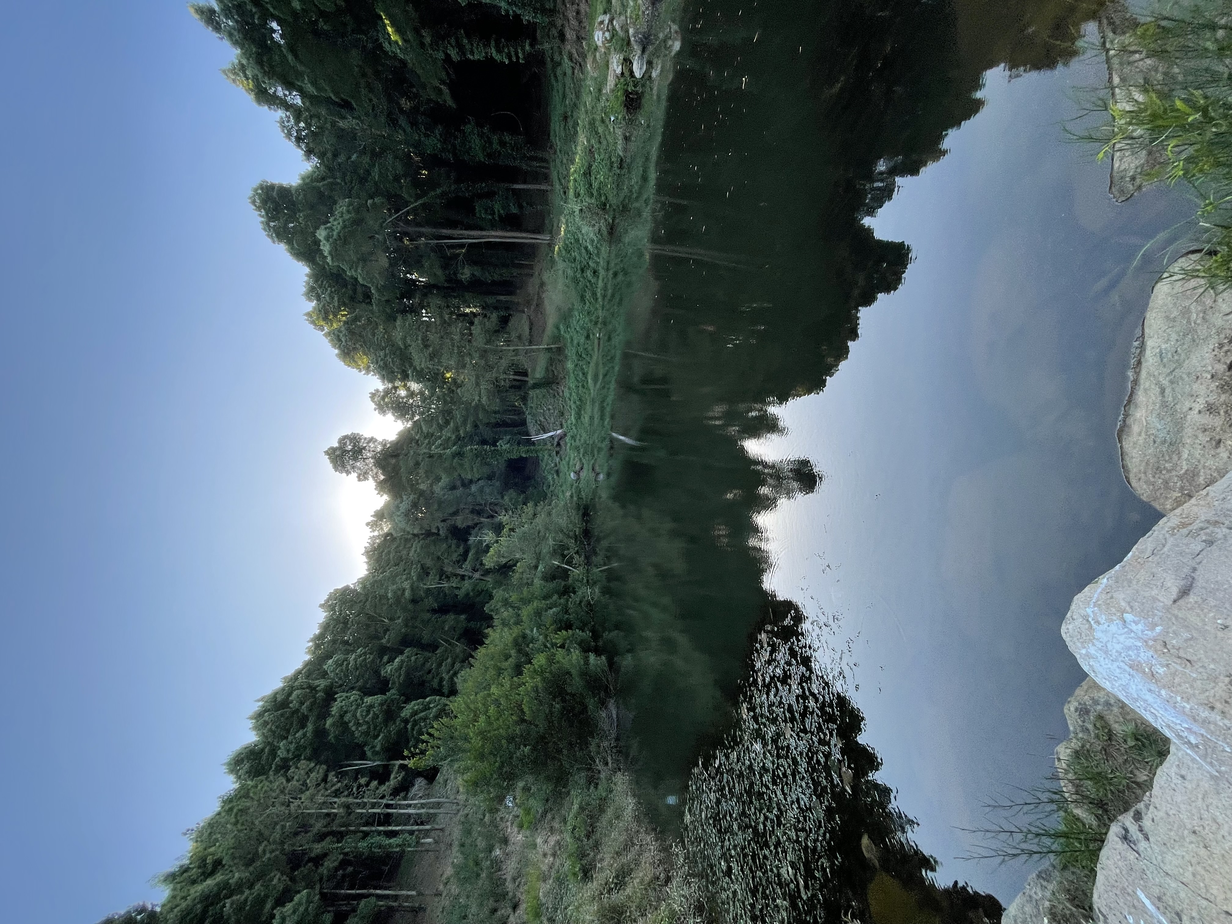
A small lagoon very similar to the one on the east side, but smaller.
By now I think that I have figured out the fencing that they had been doing but of course I had to prove it. I keep going on the trail until it takes me to the south side of the mountain, and by now I have verified that my early instinct was right. This is indeed the trail where we end several of our slopes. I have cut several slices through it higher on the top flying on my bike - this sentence made me hungry three times: hunger for wanting to run again on the trail, hunger for wanting to go down the MTB trails that cross it, and hunger because I am always hungry and want a slice of anything.
The trail going south towards Praia do Guincho
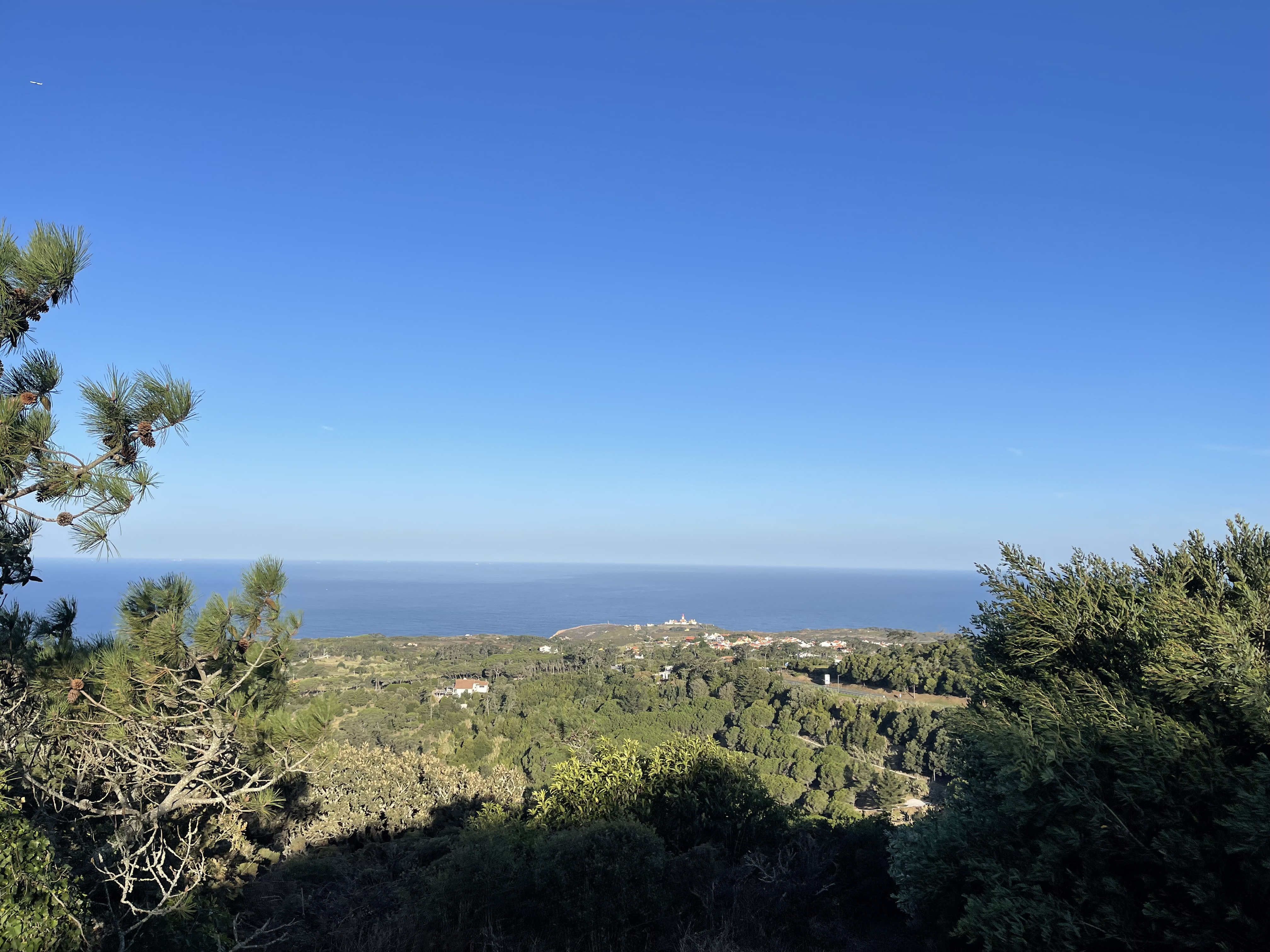
On the way down we have a great view of Cabo da Roca, today on a perfectly clear day. We also get a different perspective of Guincho, one that I had never seen before as if we were facing the beach from the west - very interesting. What is not interesting at all is finding the 3rd copy-paste version of the gate and fence. I was expecting it but at the same time was hoping that it was not there. They basically seem to have closed the way down from Peninha to the Guincho side. It was not a trail that I had used many times but was an interesting one.
We are appropriately at km 13 - bad luck, case proved.
Cabo da Roca, the best I can do without my zoom camera
My final rejection of the day
I have to head back on the same trail, which is always a nuisance but I was following a bait. Today was the day that I would be running, salmon style, up the MTB Psyche trail. It has been a while since I rode down this trail and I wanted to check it out before coming back. My clone is still in the works, so there was no danger of him coming down on his mountain bike and hitting me - the trail was empty and to drool for. I was so concentrated on evaluating the descent hazards that I forgot to take photos. Well, it was that and the average 11.3% grade over one 1km, some spots going way over 20% making sure Gauss’s normal stays so.
Going up the Psyche trail with the sun peeking again
We get to the top of the top at Peninha at the 15th km, there is still a long way to go! If I were to follow my original planned route I would end up closer to 28km. As I stood at the top in triumph, I thought “Screw it, let’s go for it” - the effects of thin air. Silly decisions are often made when you are in a strong position.
Arriving again at the top in Peninha with Guincho down below
I have to head back on the same mushroom trail that I climbed up. I did not want to go on the main asphalt road and had no time, or energy, to fool around exploring new trails. Going down this trail was hard, very hard. It might be fun on the bike (and hard), but running takes extreme care not to get severely injured.
A new gate, of the good kind
Today was the day of exploration and very fruitful. I needed to climb up to the top of the Monk, but did not want to repeat a previous trail. There’s a thousand ways to peel an onion and a thousand and one to get to the top of the Monk hill. And so it happens, that the “new” wide trail that I chose to chop was superb. It’s about doing the right thing repeatedly - not the exact same thing repeatedly. Variety pays off and the “discovery” of this alternative way up to the Monk ended up becoming the norm of my group’s last rides.
This climb to Monge is superb
The top of the Monk comes at km 18. The optimist side of me starts doing the math and turning a little more pessimistic about going for a longer run. I will digest that thought along the way - it’s going to be 4.5 km always going down. What seemed like an easy task quickly had its challenges. Of course I had to make an incursion into a downhill trail, Kamikaze 1, and that is no picnic to shred.
Entering the tree shades in the valley
At the end of the Kamikaze, alive, it’s time to go down to a valley that I have never explored. I struggle to find the trailhead because there are way too many trees that have fallen down, and I opt to follow the asphalt road down and enter the trail later on. The road that goes on the side of this valley is extremely nice and I have always admired the trees down in the valley. The view through the middle of the trees is according to the expectations. Another easy trail to explore on my bike when I turn 90 years old.
Another interesting wide trail for a family adventure
I am really battered from all the climbing that went on today, but still was feeling brave to stick to my plan, which was to climb back up the mountain so that I could arrive where I started going down that killer 20% slope. I am glad I gave up on the idea because I would have been pushing it. I gave up not because of the climb but because of stray dogs. As I approached the end of the descent I could hear more barking than I was comfortable with. These were dogs that were inside properties, but then I remembered that the trail I was supposed to use to go up again was precisely one, where a few years ago, I had been chased by two dogs while on my bike. I had a dog barking one inch from my leg while I was speeding on my bike, sweating adrenaline. It was not fun, and that made me give up my final climb today.
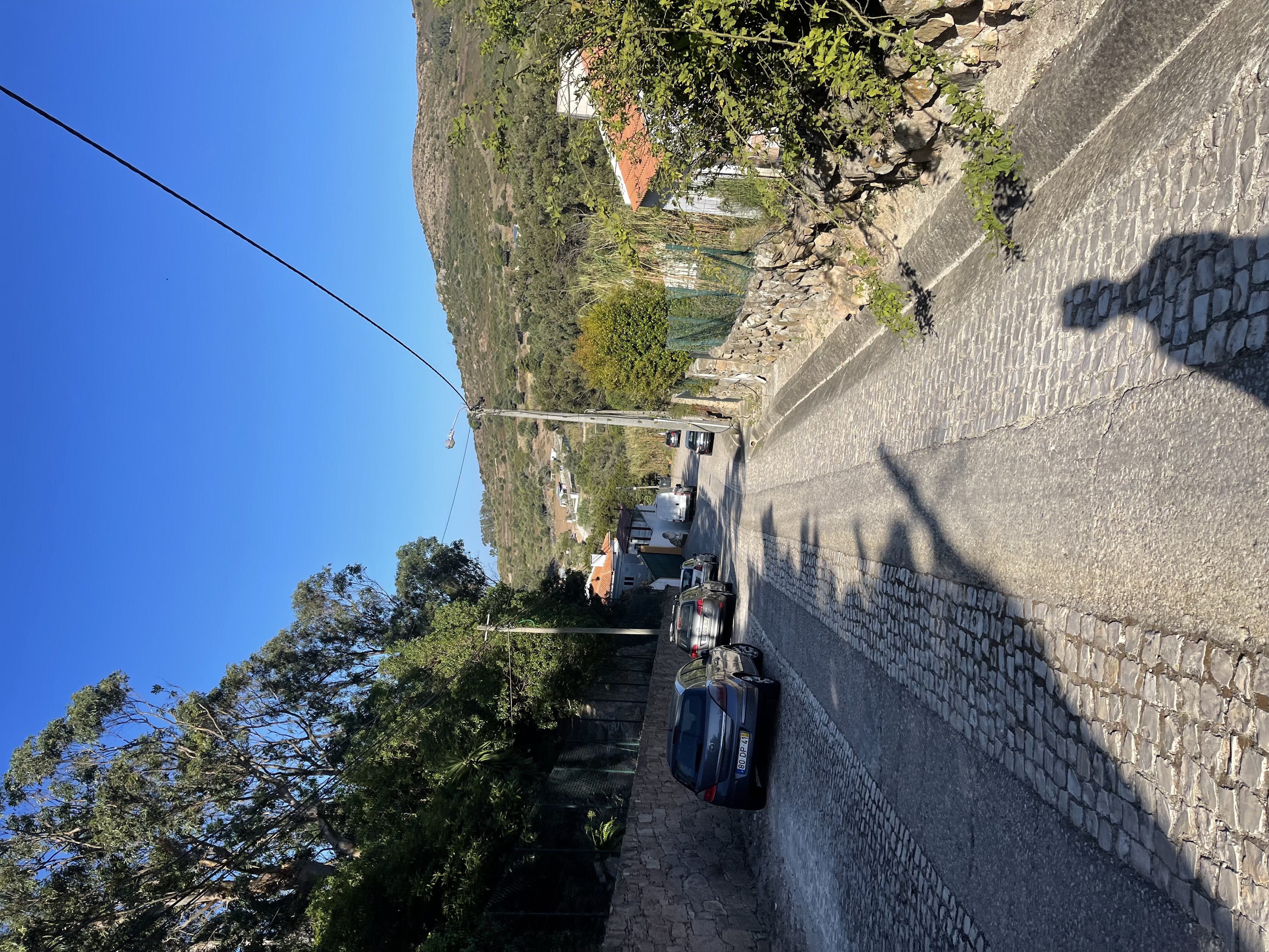
On the backroads of Malveira da Serra heading back to the starting point
And I am glad that I did not go for a longer run. I still ended up going over 23 km, and the last km was a reasonable climb that clearly let me know that I was cooked.
In the end, I had climbed a total of 874m (2867 ft) at hallucinatory ascent grades.
Mother Sintra did her job.
Even with the unexpected gates this was another superb run with great surprises.
Enjoy your runs!
-APF
