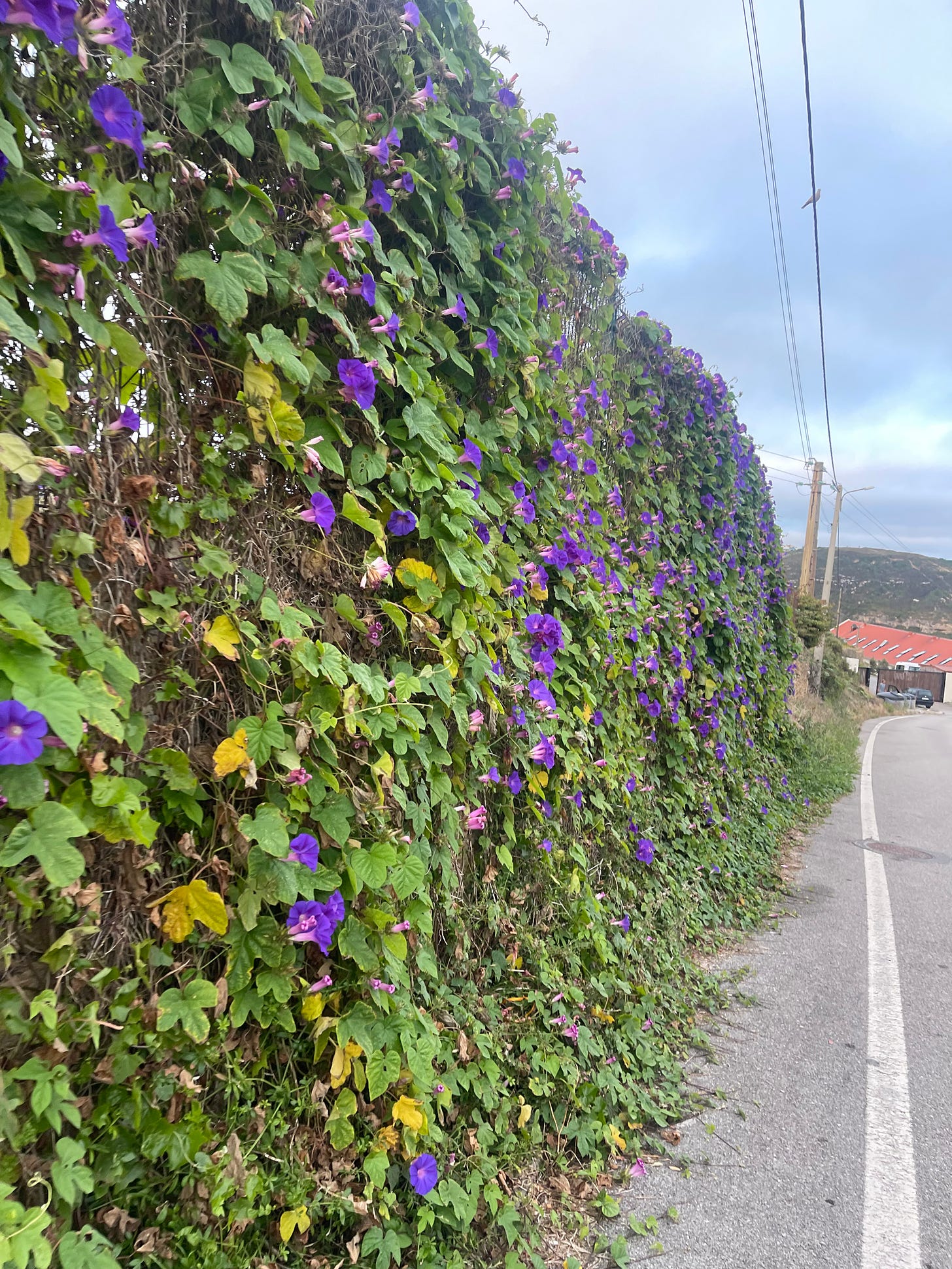
52 Weeks, 52 Half Marathons - Stage 31
Hopping on the cliffs - Part II
Saturday, August 17, 6:28 AM
I have jumped off many cliffs in my life. I have no recollection of ever regretting having taken any of them. That does not mean, by any means, that I have not face-planted several of them. It also does not mean that I have learned all the lessons from the scars out of the botched ones. What it means is that the thrill of catching the rushing wind in my face, and the brief moments when it felt like I was flying, those, far outpace all the mistaken ones. I plan to keep on jumping for the rest of my life.
Stage 29 had left a tiny sour taste in my mouth because I got cut off from many of the cliff trails that I had planned. With the temperatures during the week getting close to the 100’s (Fahrenheit makes it even look more dangerous), a second run by the cliffs was the refreshing route that I needed for the weekend.
I was a lot more diligent about the planning and checked with some local relatives and friends about its feasibility.
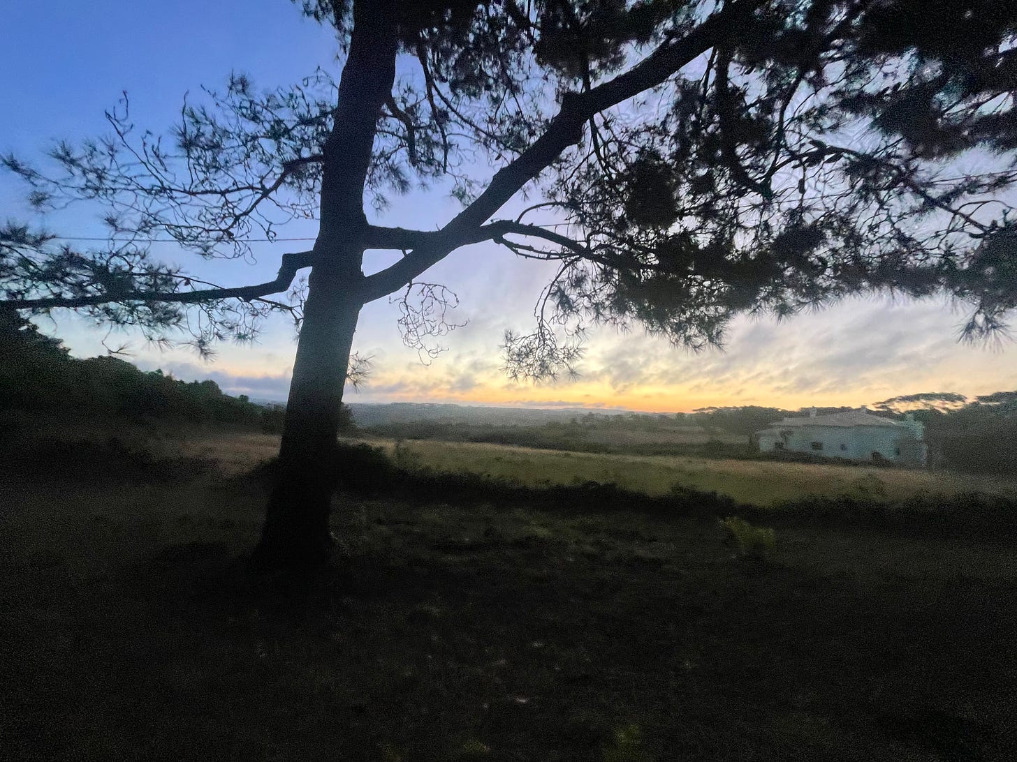
Just before sunrise in the village of Assafora
It’s a longer drive than I wished for but I still managed to start around my civil sunrise target time. It was nice and cool in the village of Assafora, the roosters in the neighborhood are colluding to wake everyone up. I might have woken up some of the roosters.
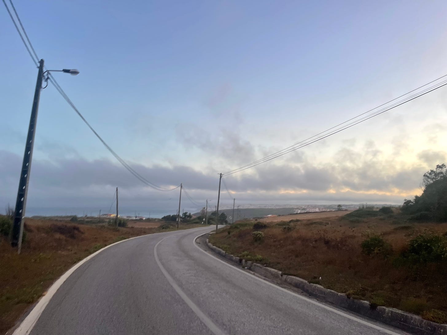
We are taking a local road to the town of Ericeira, a well known surfing spot in Portugal. It starts quite easy for the first two kms. My diligent plan was only about the cliff trails, I did not pay too much attention to the profile of the road that led me to the treasure.
On the road to Ericeira
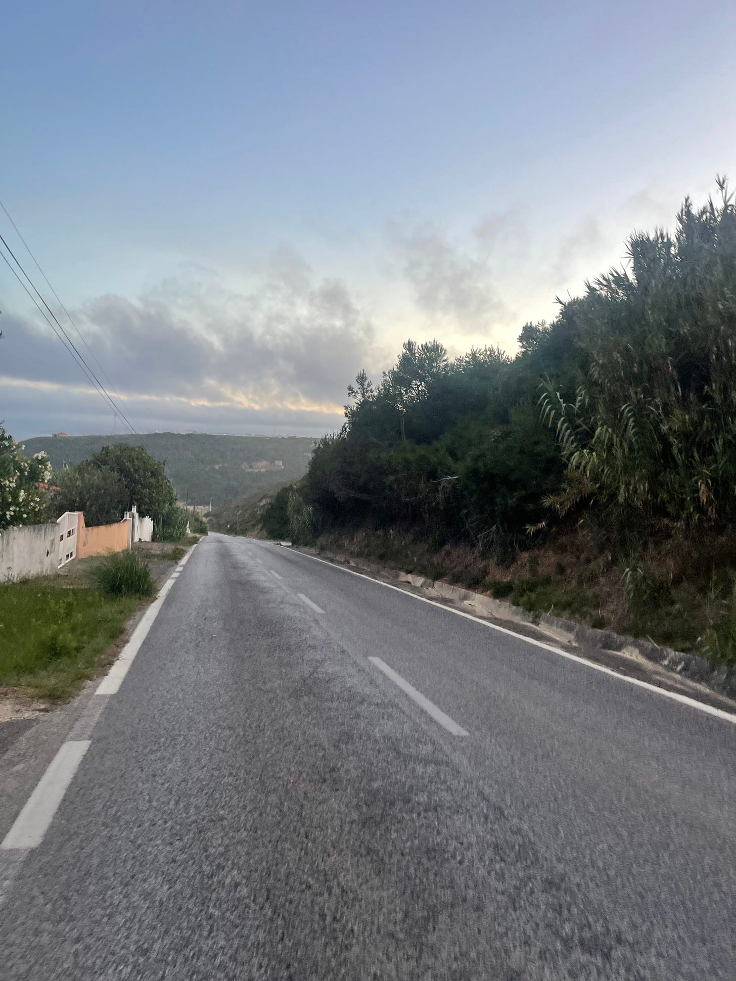
At the second km, the road takes a plunge to a creek, Ribeira do Falcão. I was still in the playground of my dreams about the coming cliffs when I realized the size of the canyon that I was diving into. The shoulder on this road is not always perfect for running but we are safeguarded, once again, by the privilege of the early birds.
We have fallen on the Mariana trench again. I briefly glanced at the map to match it with the terrain that I could see coming in my direction. It was going to burn, sweet!
Premonitory descent to the river side
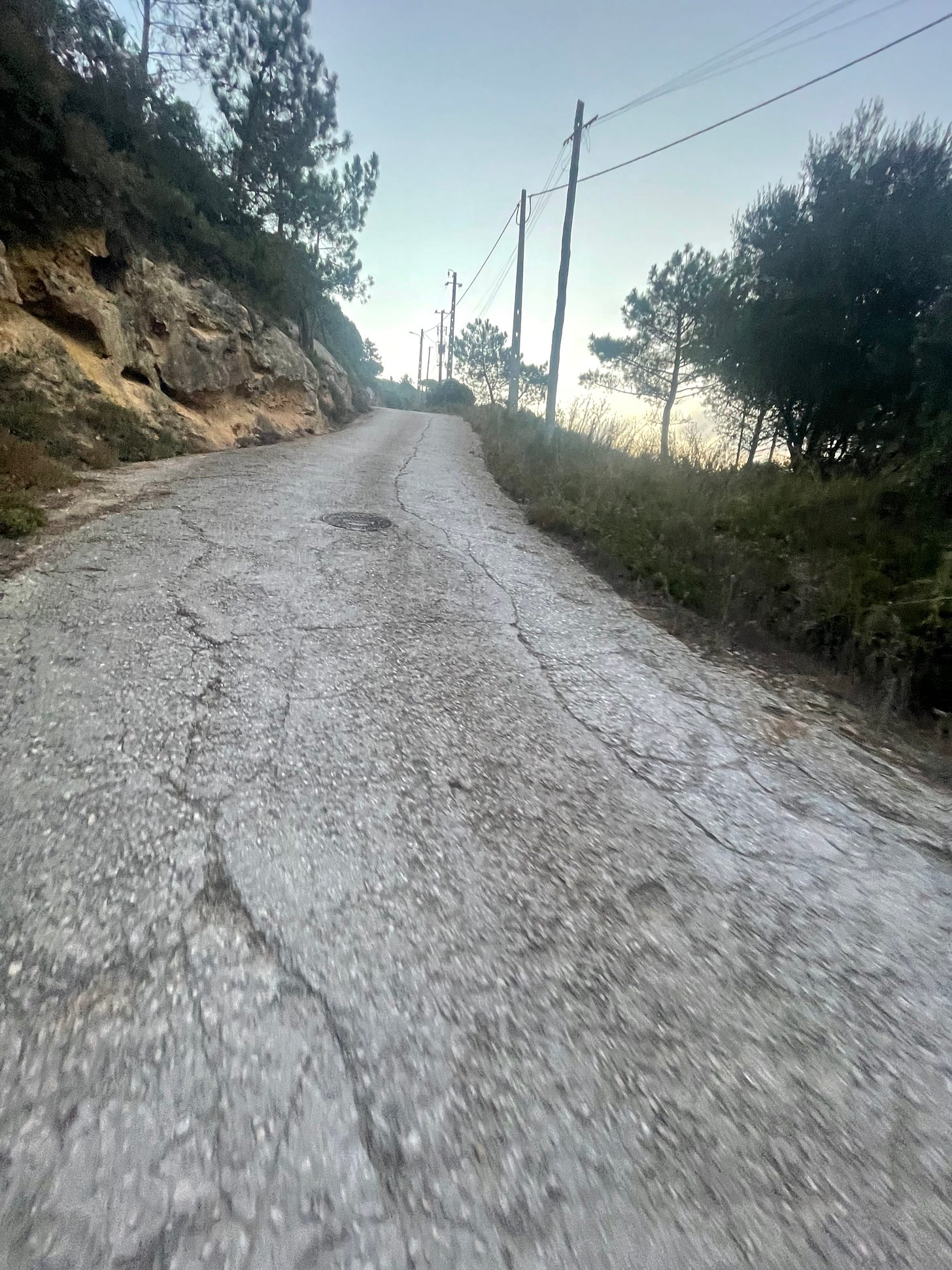
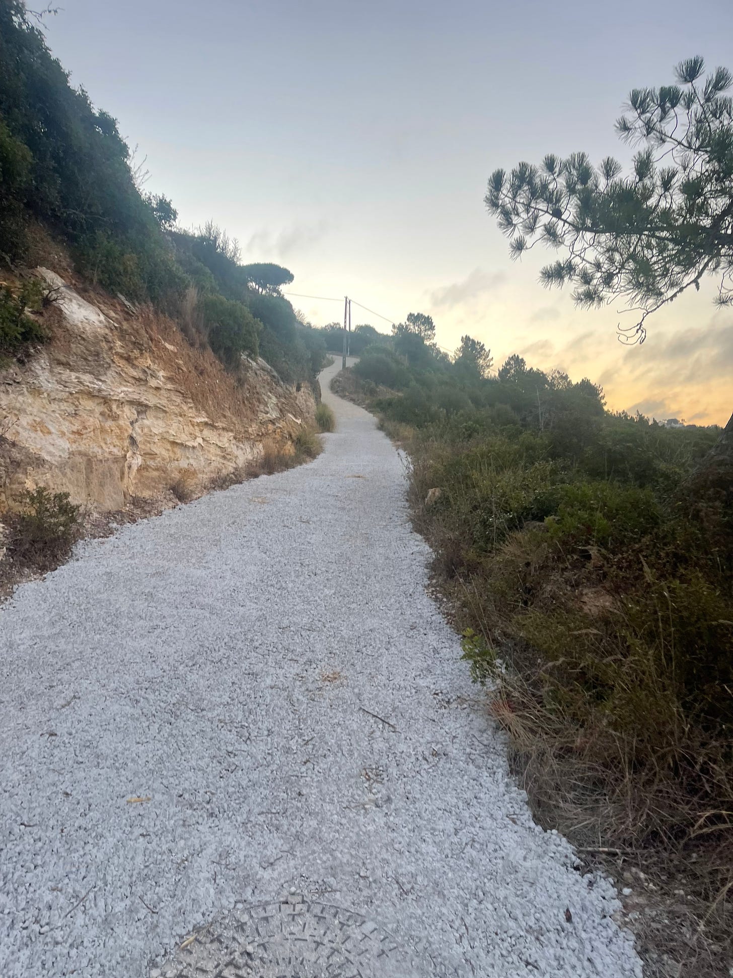
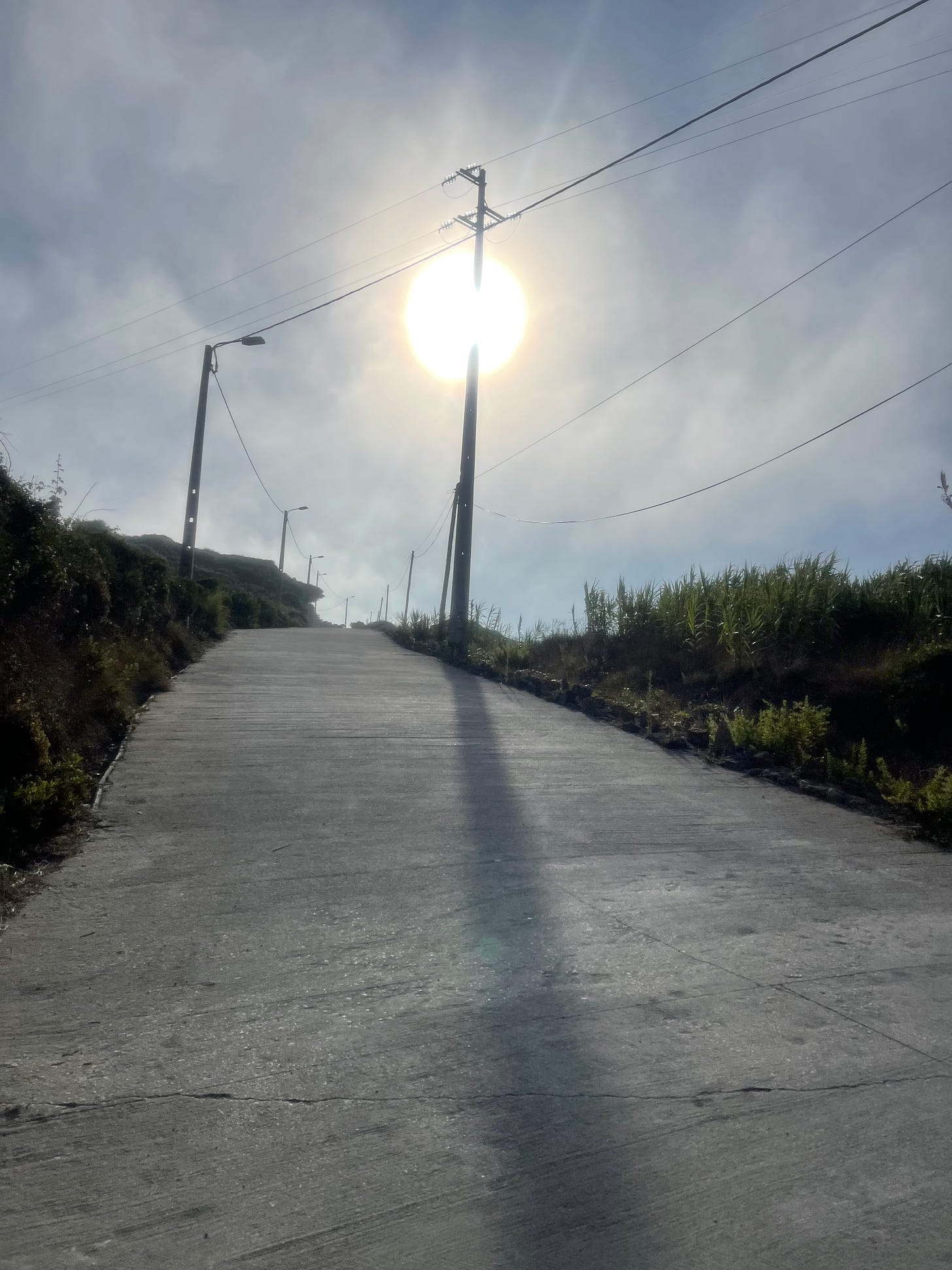
We arrive at the bottom of the pit at km 3.2, and finally get off the asphalt into a wide trail. I have the stray dog radar blasting at full power. I fear they might have had communicated with the angry roosters. There are too many loud barking sounds for my comfort but the nervousness quickly faded away. All the energy has to be focused on the unexpected Everest ascent, as this sweetie punches above 20% in some of the stretches.
Killer ascent prophecy off the river side
As we ascend to the top, the surrounding view becomes very beautiful. We are attacking the climb west to east but still have to luck with seeing the sunrise that is stubbornly hiding behind some clouds and the hilly terrain. The weather conditions are perfect, my choice was spot on. I am now carrying 2 liters of liquids with me, 1.5 liters of water and 500 ml with electrolytes. I always take my weight just before the run and right after to make sure I am staying within safety margins (I am currently using 2% weight loss as the limit). Before the summer I was carrying 750 ml but with the heat that became way too scarce.
This climb is tough
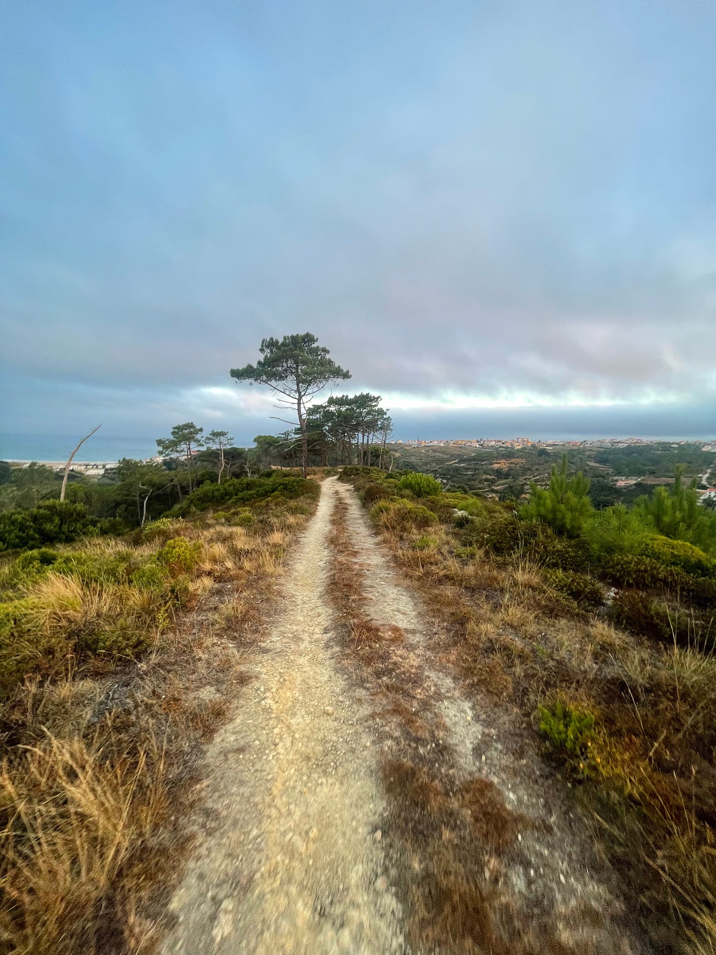
It’s one full km at a very hard incline, and then we keep climbing for about 500 more meters in softer terrain. We roam through a couple of local villages and then get back on a surprisingly nice trail that follows the ridge of a local hill. It’s really nice until, we encounter a very steep and somehow dangerous descent. We have very irregular slippery terrain and the dog radar fires up once again. We are running through a few remote houses and the guard dogs are not happy to see me - it’s mutual.
The first ridge of the day
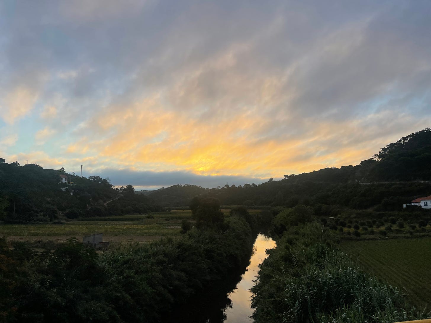
We are rewarded by the difficult and stressful moment once we arrive at the bottom of the valley around the 7th km. As we cross the bridge over the river Lizandro, I could see the sun coming up in the sky in all its glory - quite a painting. In running, as in life, we have to work hard to earn moments like these.
Crossing the river Lizandro
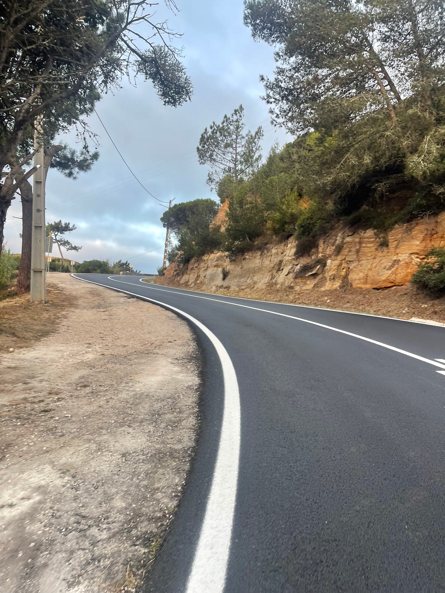
In running, as in life, there’s always a tax taken of what we earn, and after crossing the Lizandro, our tax rate progressively climbs along the way, up to 13%, as we fly to Ericeira - the IRS follows us for 1.2km (fun fact, in Portuguese IRS also has to do with taxes, even though the letters stand for completely different words).
Climbing with the “IRS” to Ericeira
There is a portion of the road that is dangerous because there is no shoulder. Still, we have good visibility and we just have to sprint to get past that guardrail. After all, isn’t it fun to sprint breathless uphill ready to use the guardrail as an olympic hurdle if needed? We can quickly tell that Ericeira is doing well with tourism. There’s a great sidewalk by the ocean and I chose to follow it for a while to put on some extra distance. I feared that the return route through the cliffs might fall short. I prefer to put on extra miles early that have to run loops at the end, those are punishment.
A little distracting help on the climb
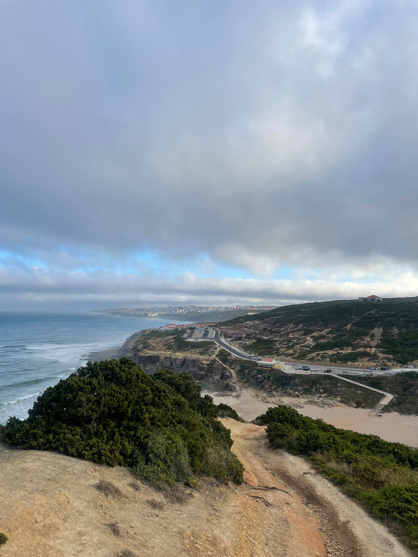
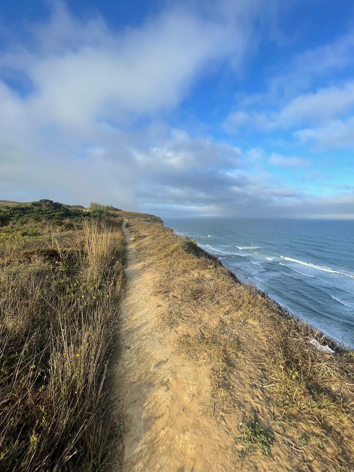
Let the party begin! The starting point for the peak of today’s adventure is by the vista point Miradouro da Carvoeira, overseeing the beach of Foz do Lizandro - this means where the river Lizandro meets the ocean). The vista point is really nice if you are coming with your grand mother, but for us, there is a side entrance that opens the friendly hostilities with the cliffs ahead. The trail starts narrow and is not for the ones afraid of heights but is perfectly safe at this point. I was hoping that the skies would open up to get the summer blue contrast on the photos - I had no luck. Still the atmosphere set by the clouds and some fog is inline with the Sintra brand, which I love.
Beach of “Foz do Lizandro” - let the fun begin
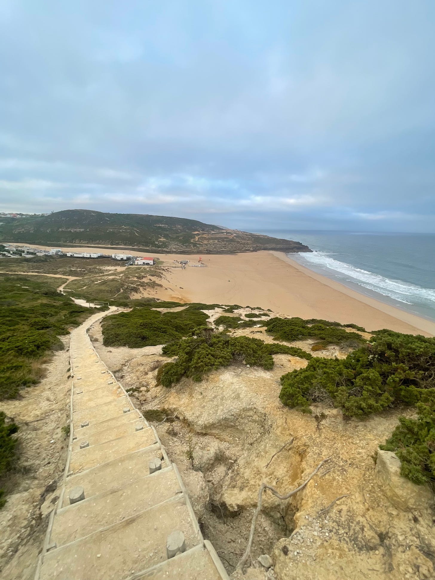
Our first challenge is to cross the Lizandro beach to get to the hill on the other side. This is only possible during the low tide, which is what I had planned for. To go down to the beach we use some awkward steps with irregular very tall heights. It’s very hard to maintain a running pace and somehow dangerous to try to do so.
The hill on the other side looks suspicious, from a distance I cannot tell that there is an easy access trail off the beach.
Stairway to heaven
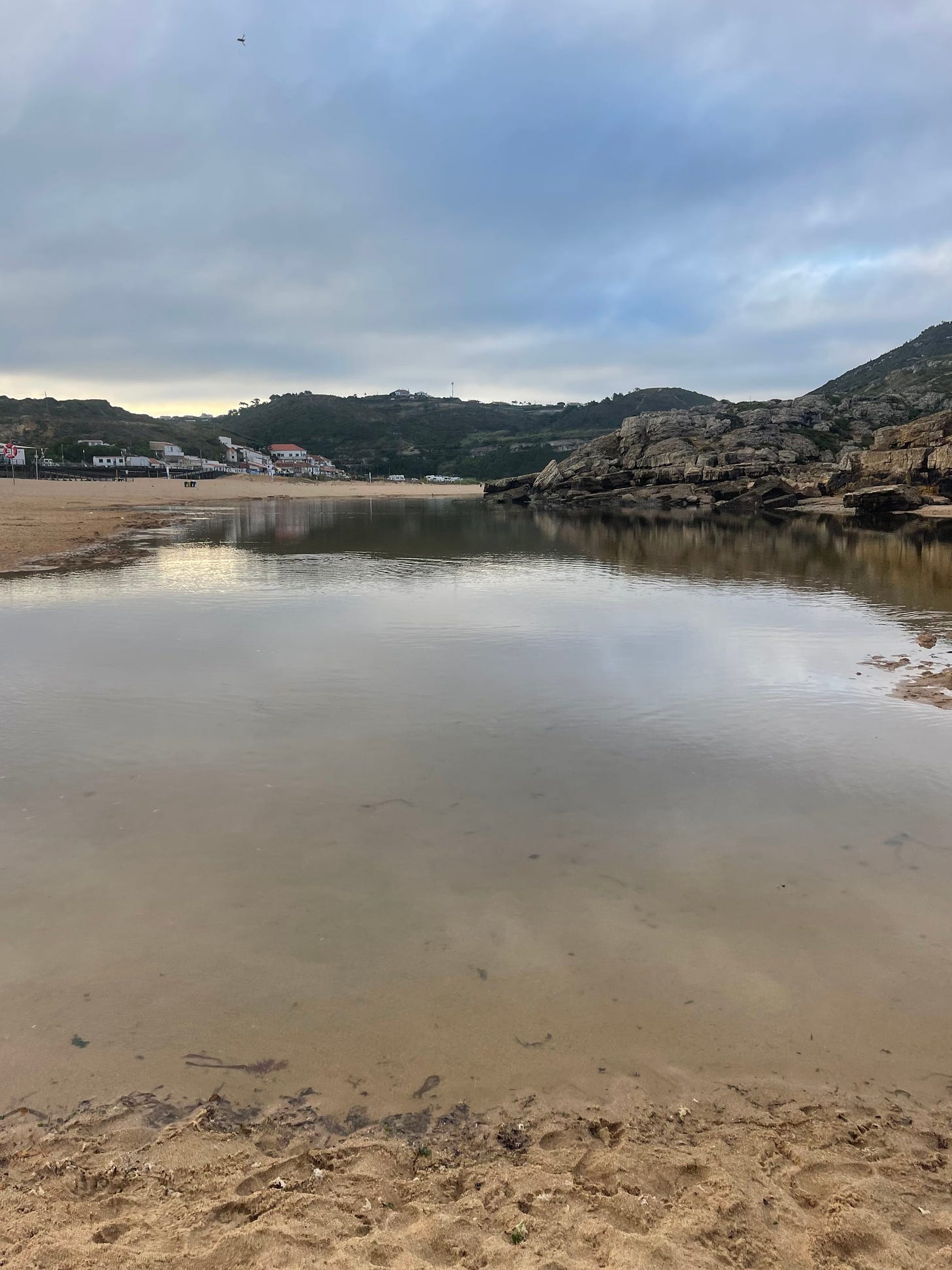
Down at the beach I meet a lot of early workers dismantling what looks to have been a rave party on the night before. I realize that there is no pathway, we do have to go running on the beach sand. It’s a short distance, about 200 m, until we get to the river mouth that is closed by the beach sand. Now would have been a great time to have a blue sky and a sunrise. The lowest point of the tide had been almost two hours ago and I did not know the place. I was prepared to take my shoes off, but fortunately the sand wall stood for me.
Lizandro river mouth held by the low tide beach sand
As it looked like from above, there is no red carpet waiting for me on the other side to get me back on the trail. We need to climb a crude miniature version of the giant’s causeway to hop back on the trail - legs will working hard today, and the fun has barely started. The initial set of rocks are slippery therefore I enforced a zero-trust policy on the remaining ones.
Giant’s causeway wannabe
I immediately find out that the cliff trail will be a great challenge. After overcoming the giant’s there is always an extra step or extremely steep portion that is very hard. My calves and achilles are working at full power today. No worries about all the steam that we will be generating with the effort, I have ordered the perfect ocean breeze to keep our cooling system in perfect balance. I have been beyond lucky in my runs. Time to glance back to the north and admire our accomplishment. The beach is looking lonely and peaceful, patiently awaiting to battle the legions of surfers that shall arrive later on.
Back on the trail overlooking to the north (Lizandro river and Ericeira)
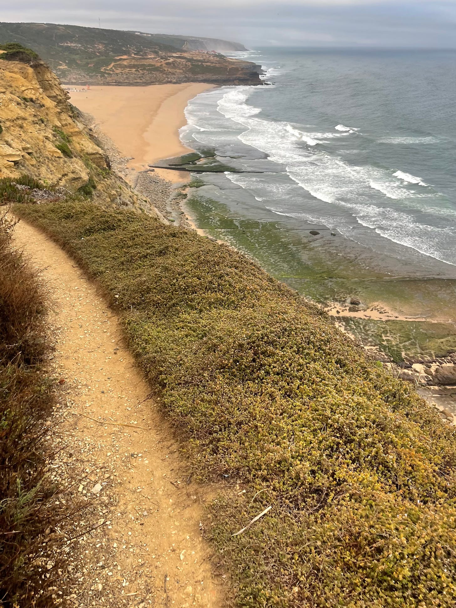
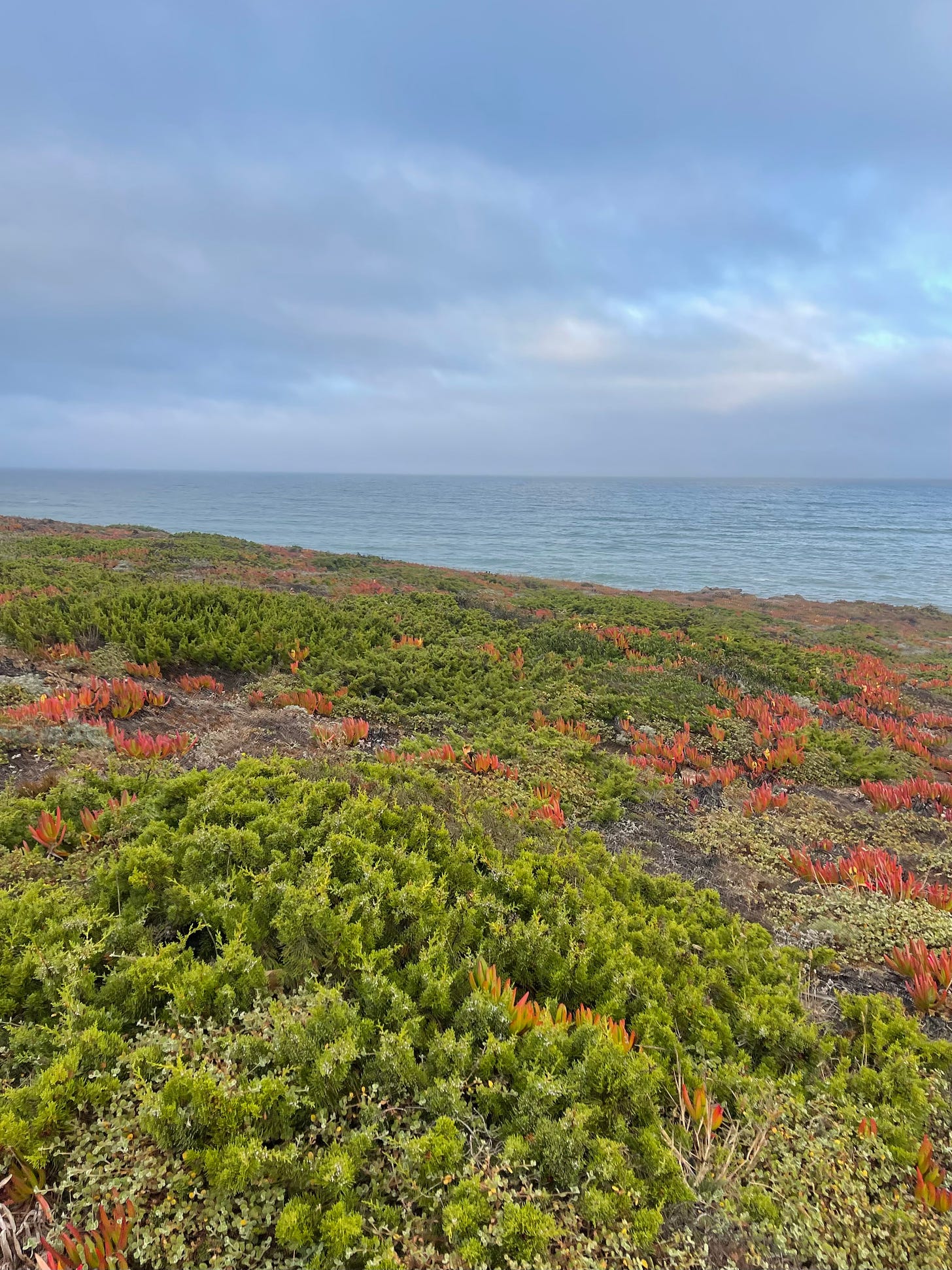
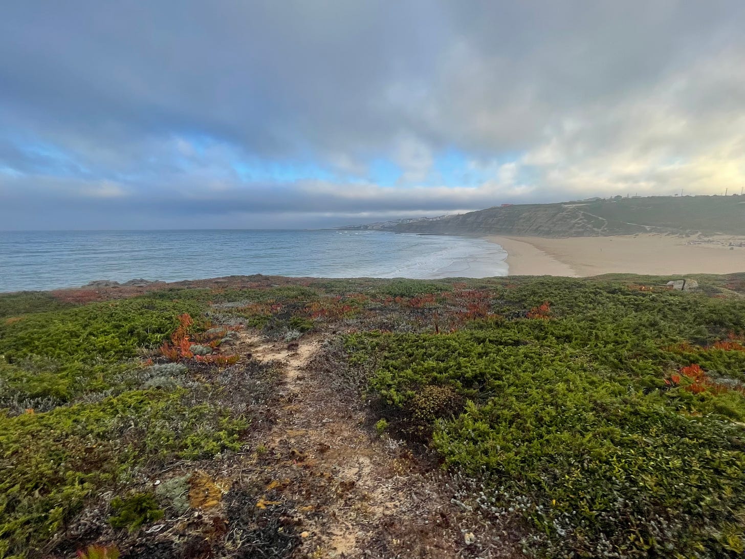
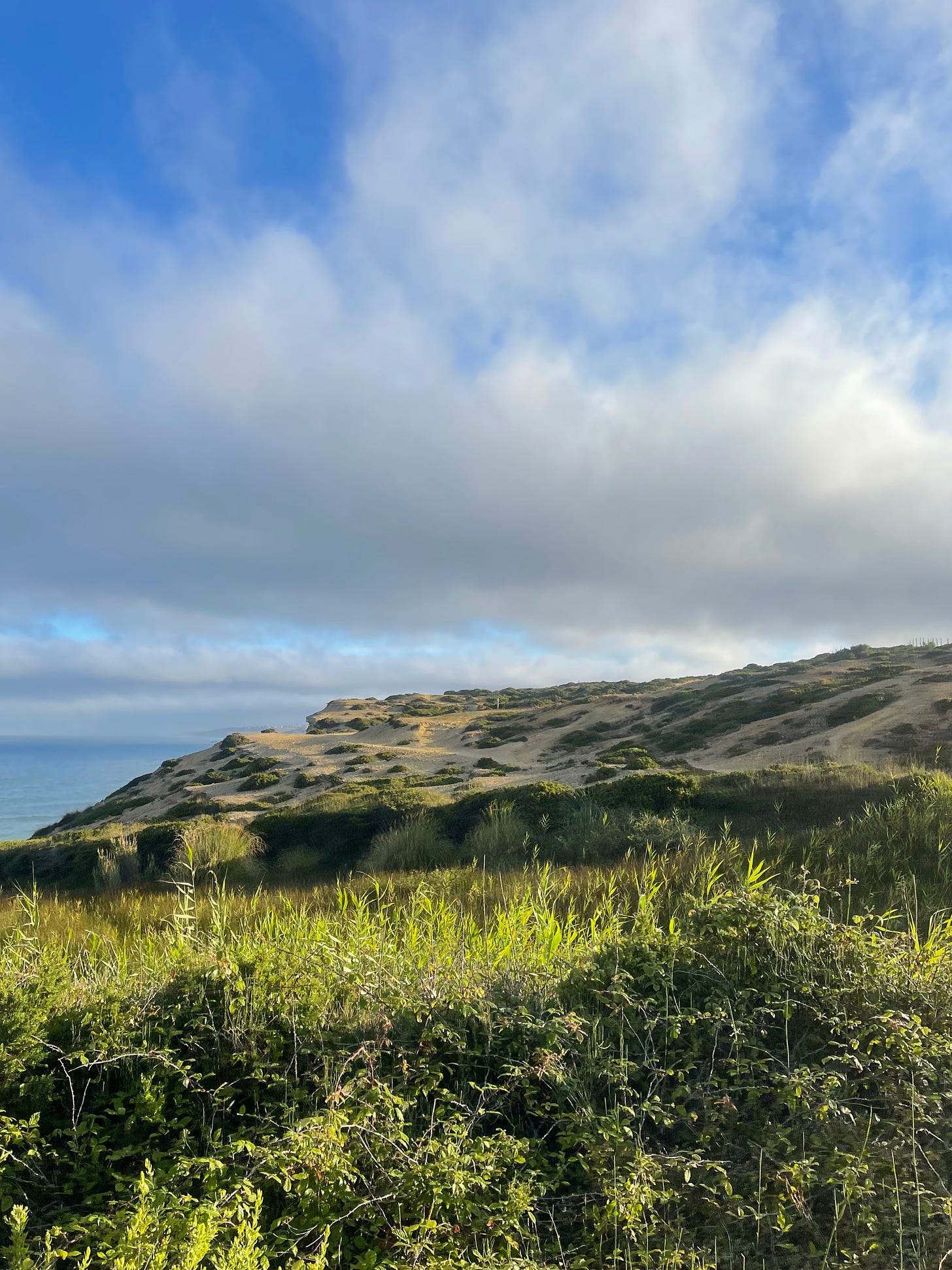
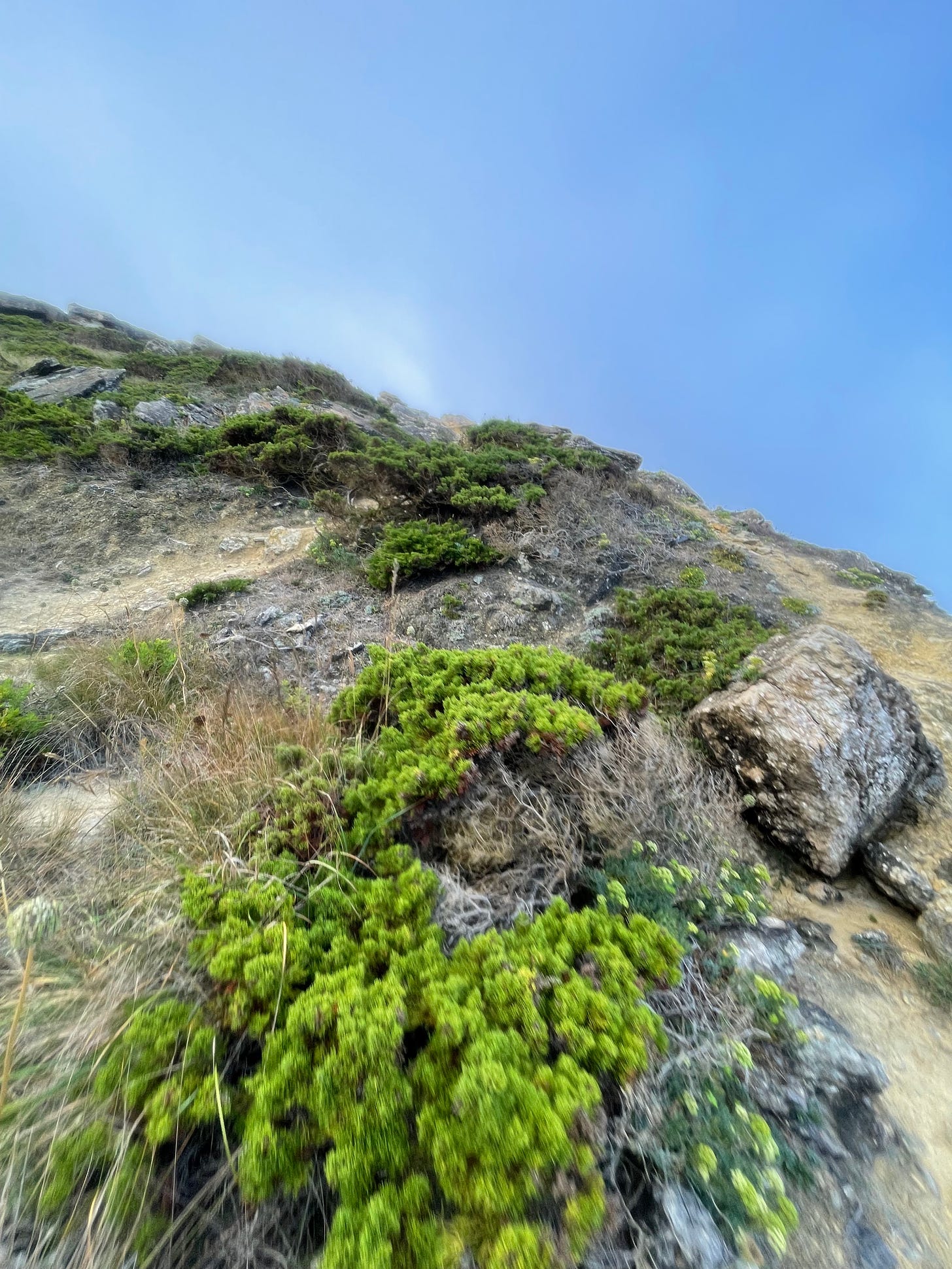
The variety of the landscape is prodigious, it’s hard to find a pattern. I particularly like succulent plants on the rocks, they fill the landscape with contrast. We are now following a charming narrow dusty stream cutting through the middle of an ocean of green, red, and purple. This is a 360 degrees movie, the panorama left behind us is worthwhile to turn back to. Mind your step, the ground is filled with randomly displaced rocks, it is close to impossible to have a steady pace. We are not running, we are hopping.
Wonderful vegetation by the Atlantic
The past can be as ravishing as the future
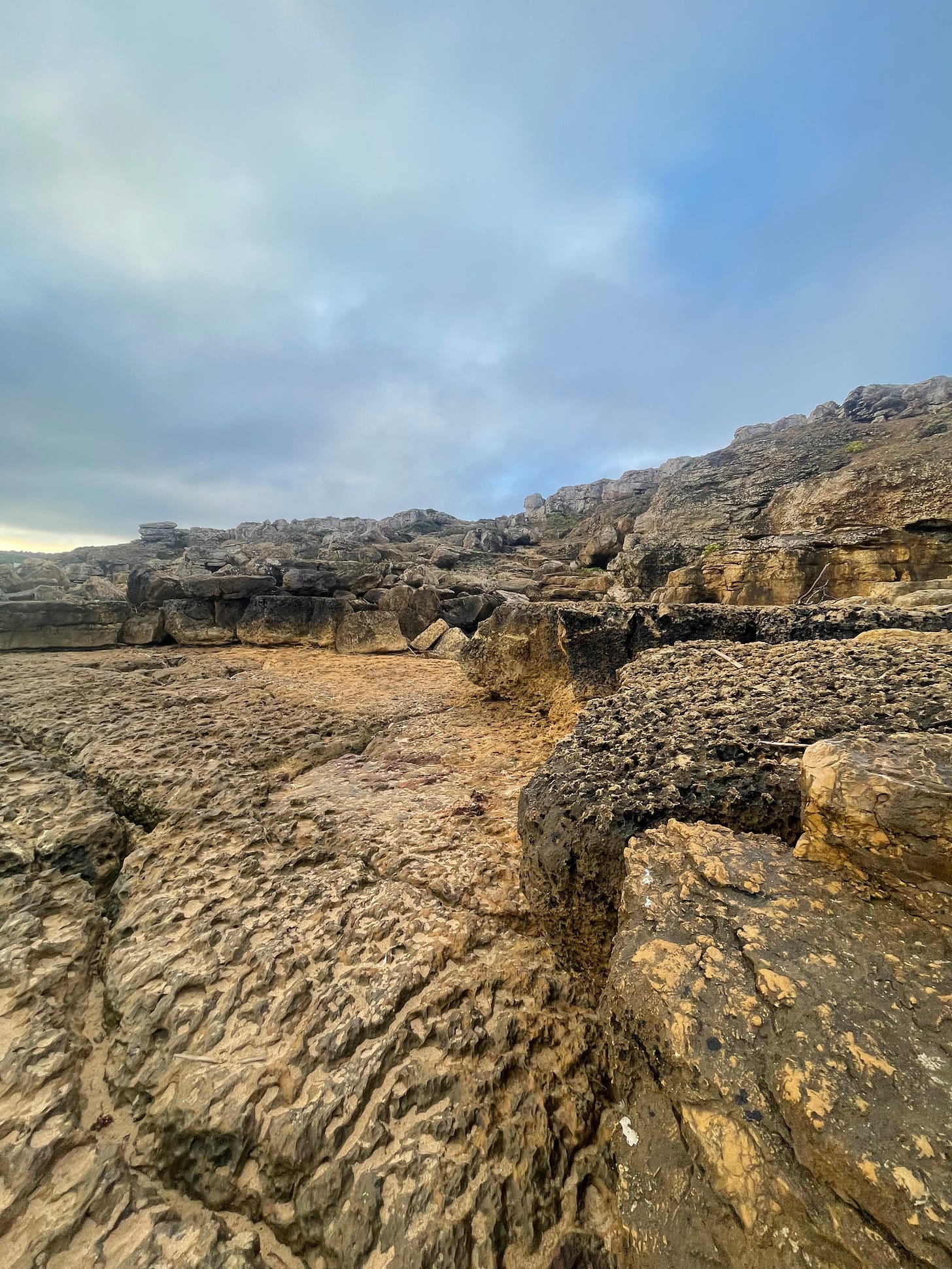
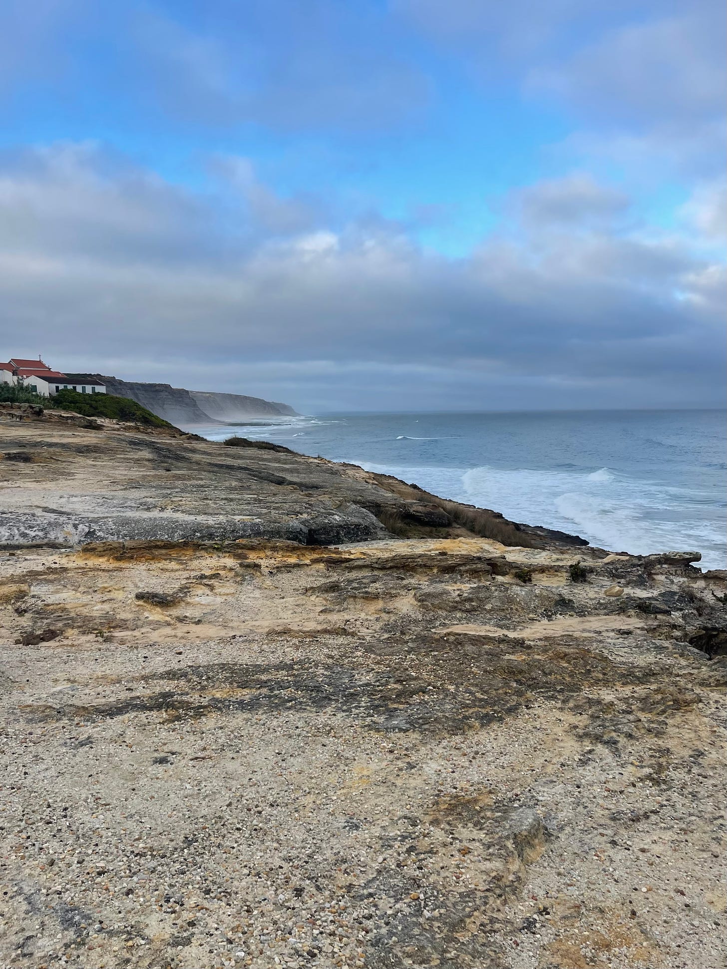
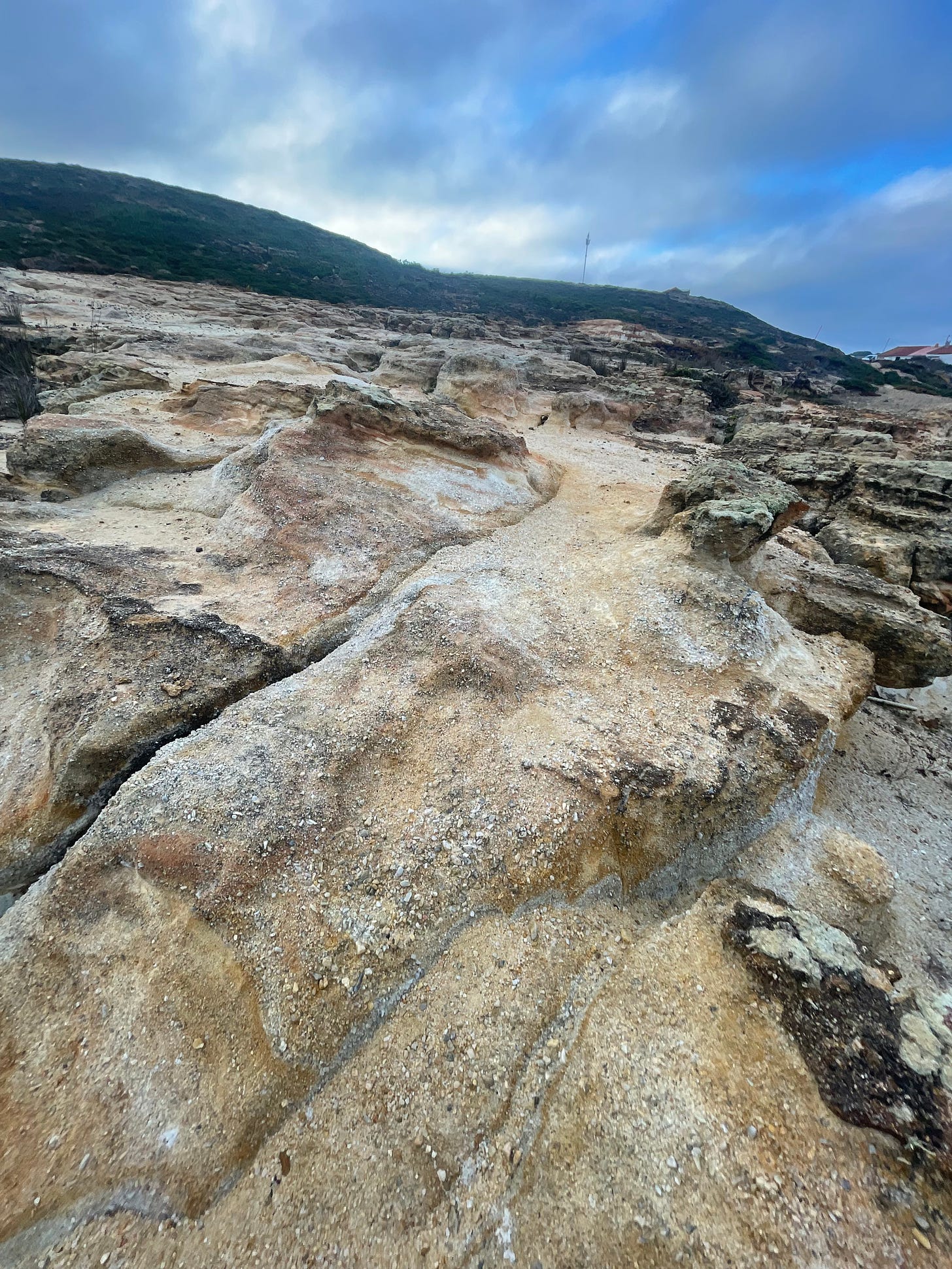
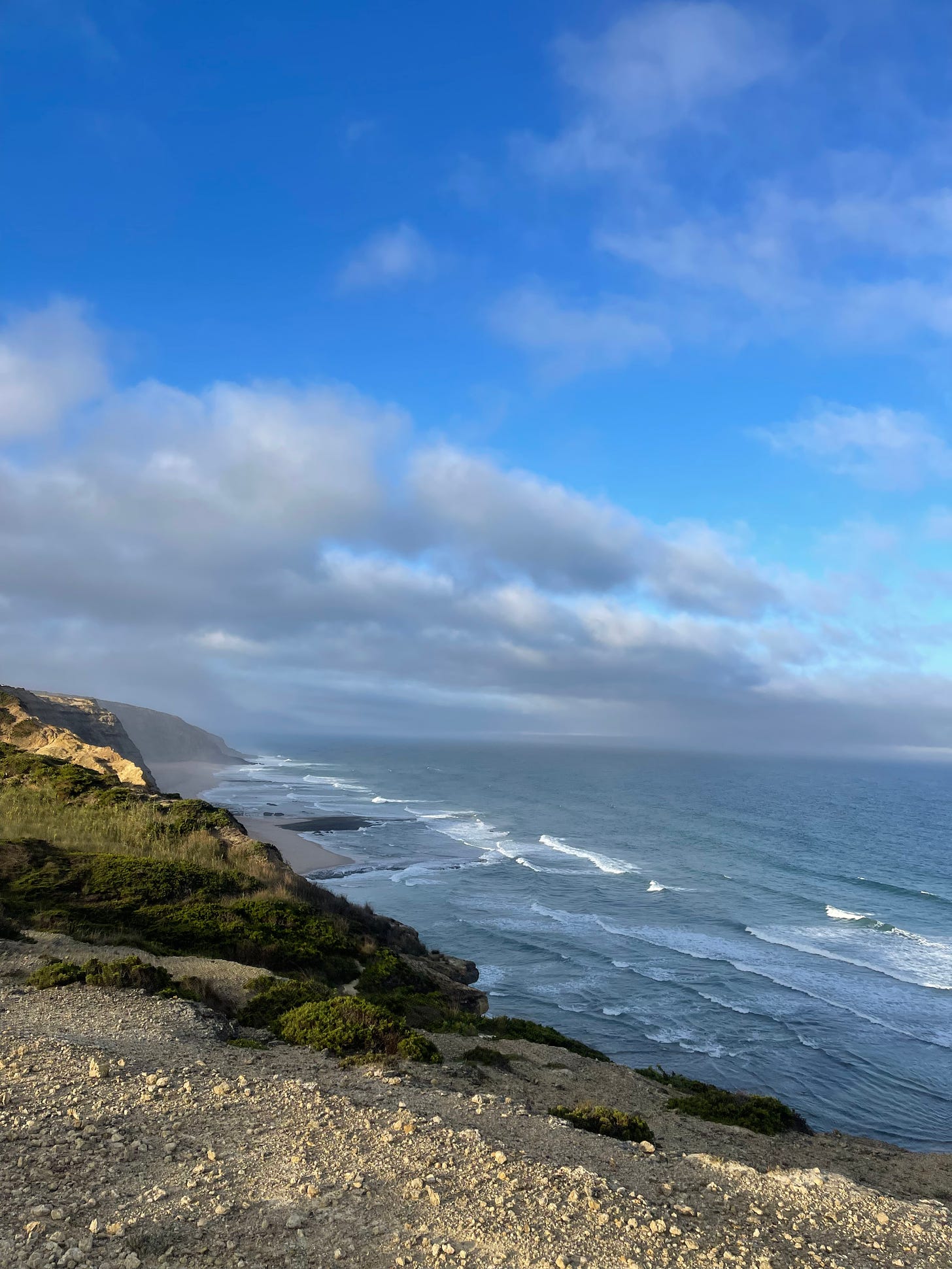
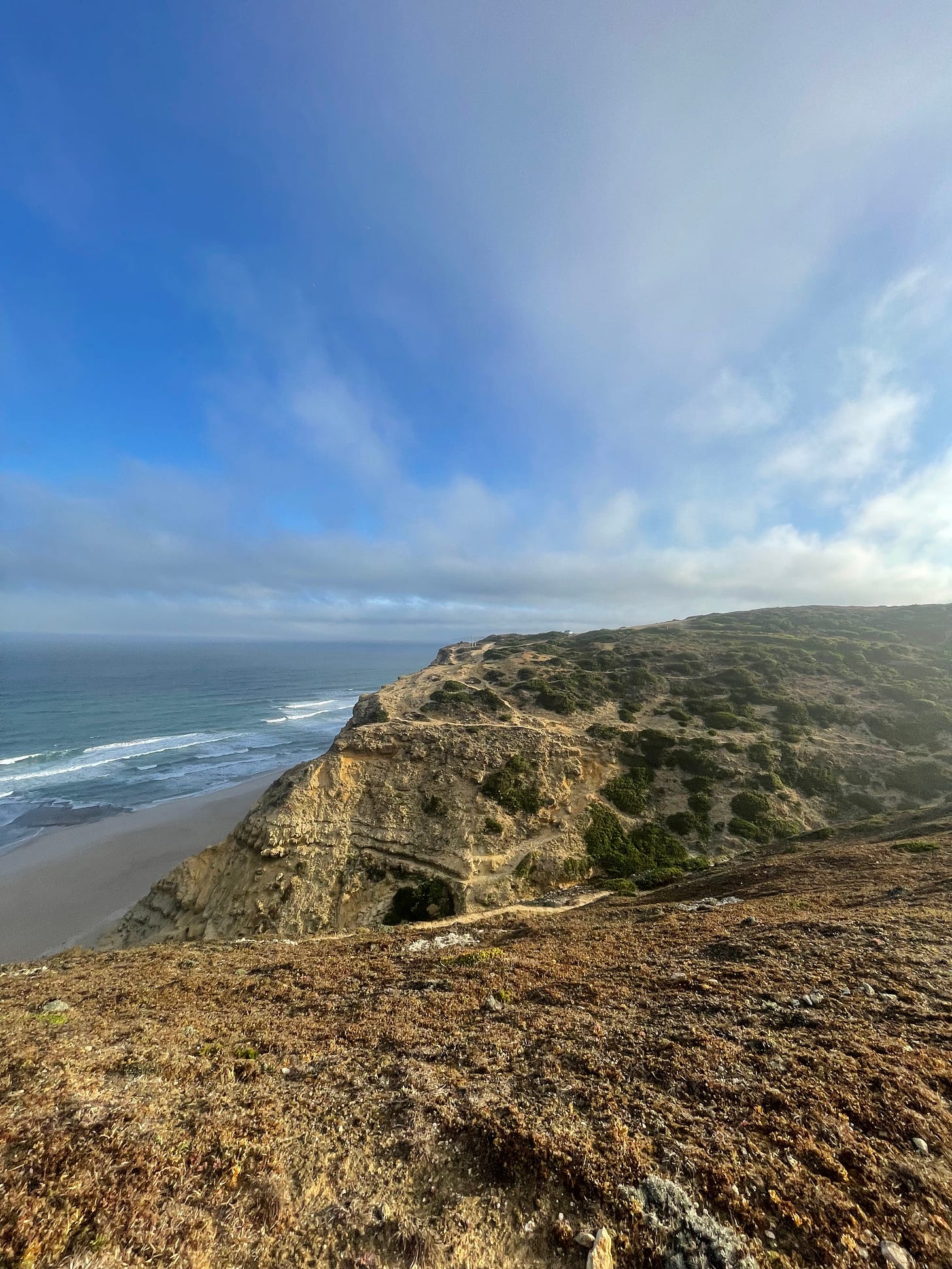
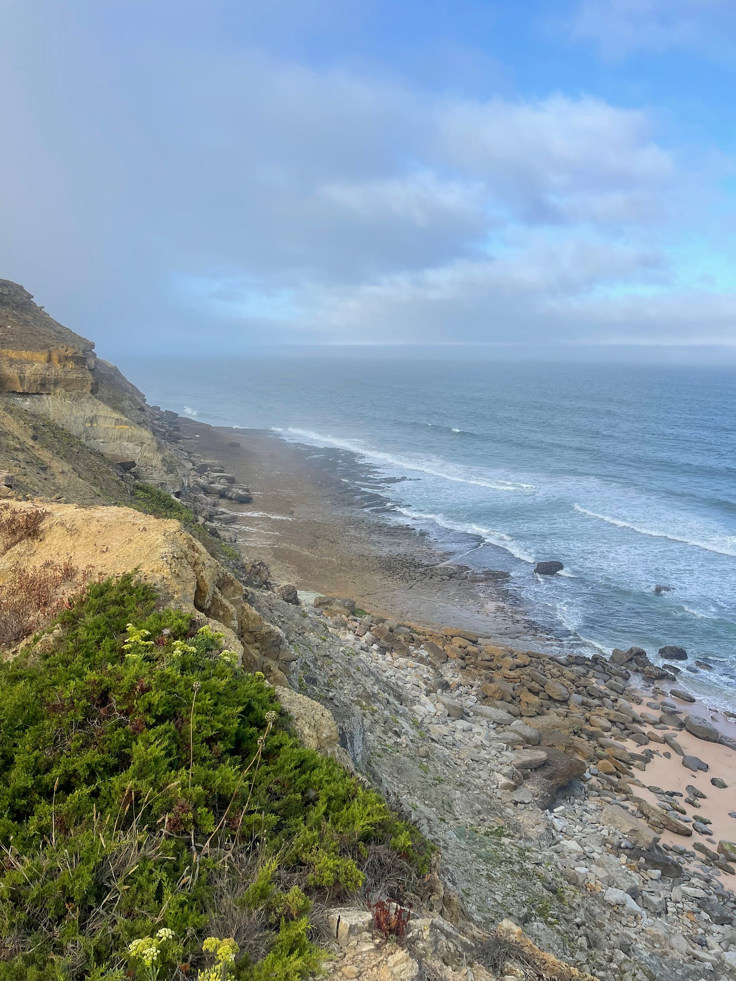
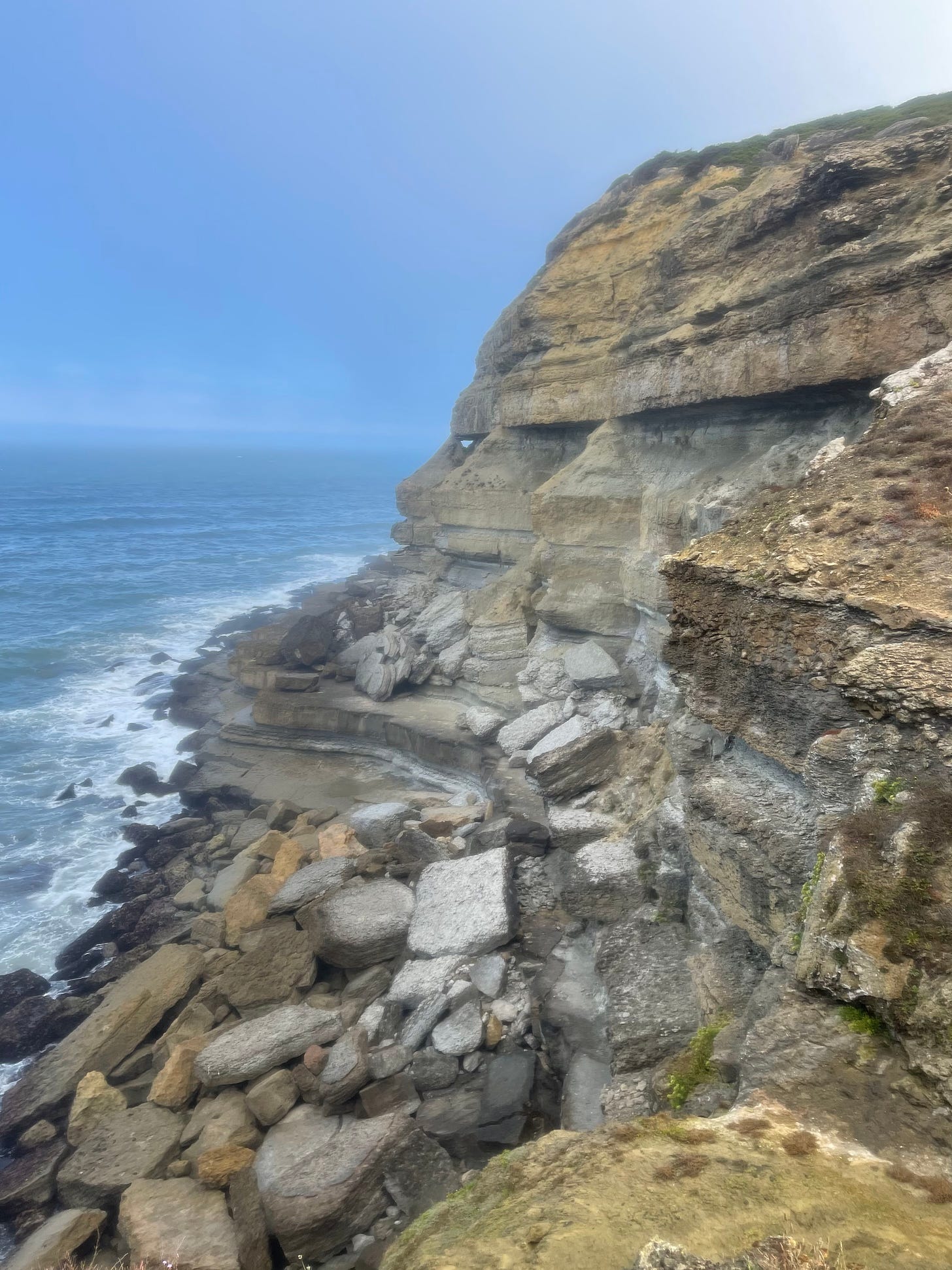
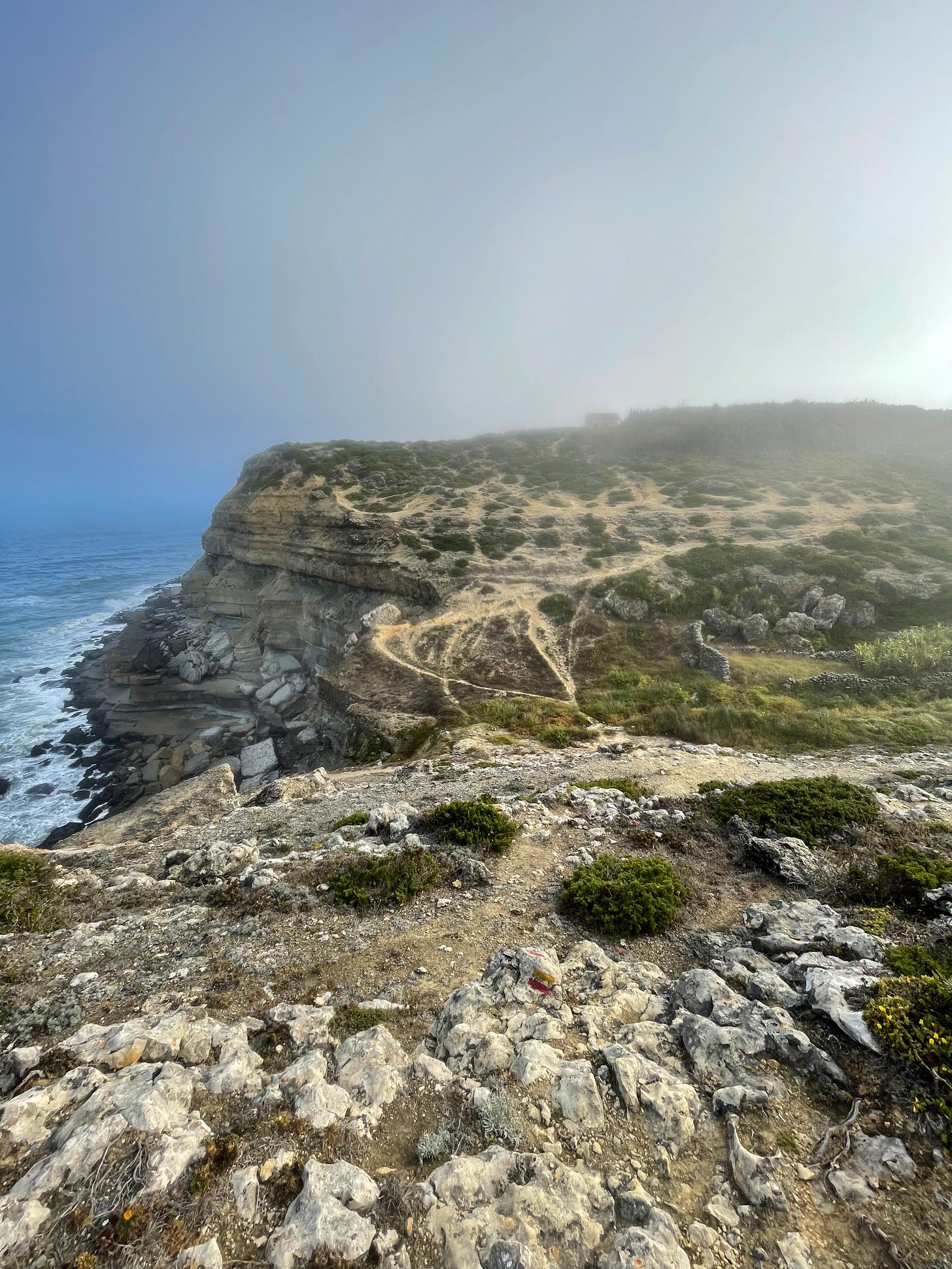
Our perspective changes abruptly, as the splendorous green gives way to yellowish rock formations that have been sculpted by the wind, like a miniature Bryce Canyon. I did not follow any trail at this point, just used the rocks closer to the edge, maintaining a generous safety margin. We are around the 12th km and approaching the beach of São Julião. All the beaches around here have the parking lots with plenty of surfer vans that camp for the night. I am marveled by the cliffs far in the distance with enchanted haze bathing their feet.
Rocks too tough for plants
Miniature Bryce Canyon
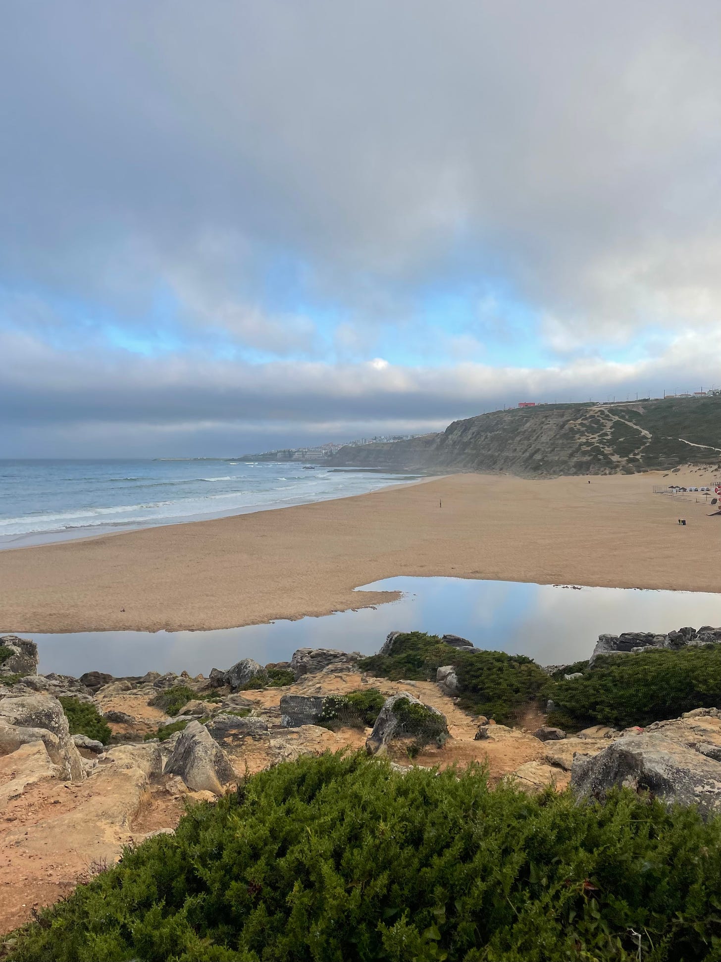
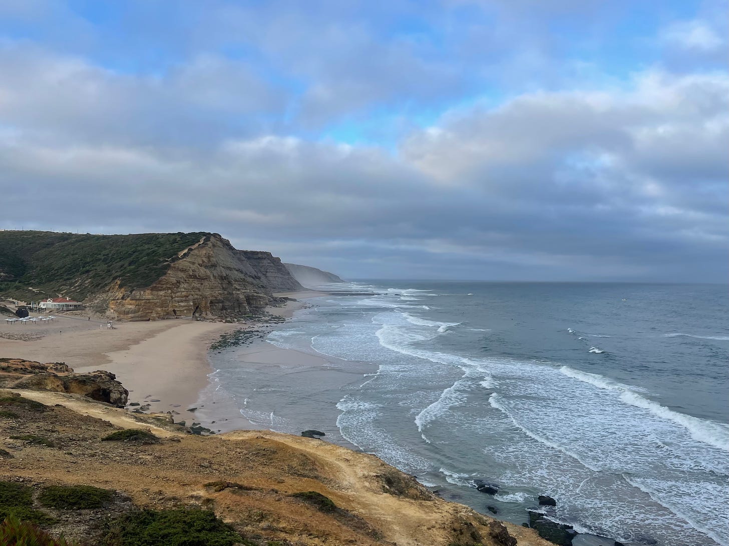
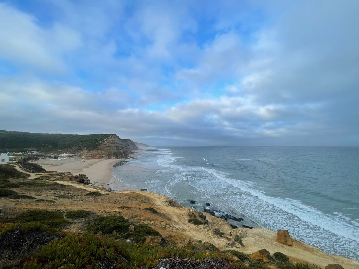
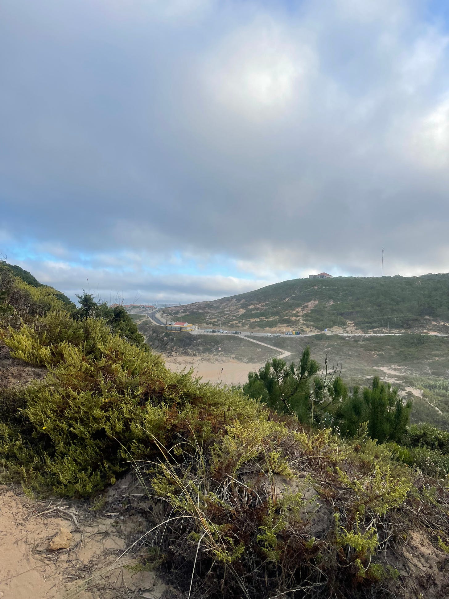
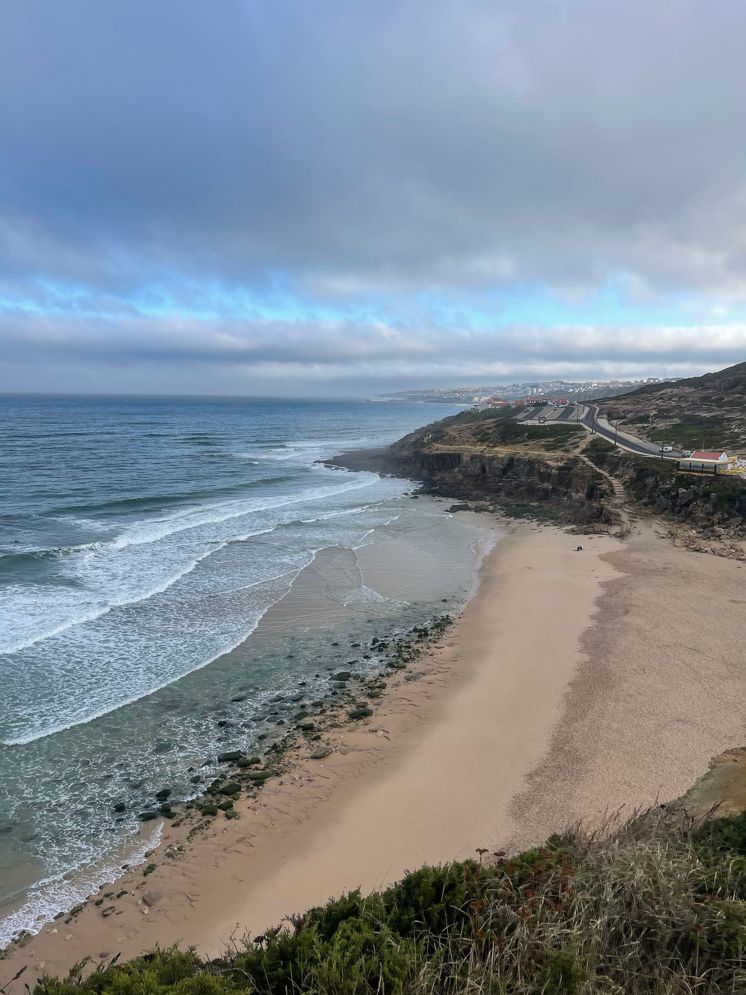
Just like at Foz do Lizandro, we have to cross the beach and in this case the next cliff over is looking very intimidating. We can clearly see that it is very steep. I chose to go around the beach, through the surfer’s parking lot to start the ascent. We are again at the bottom of the Mariana Trench from a few kms ago.
Praia de São Julião and its menacing cliff climb
A wider view of Praia de São Julião
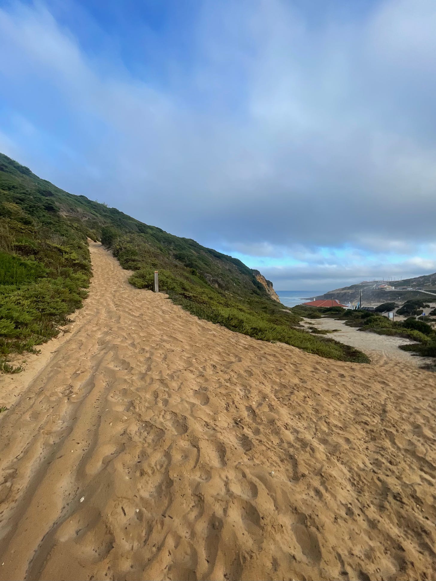
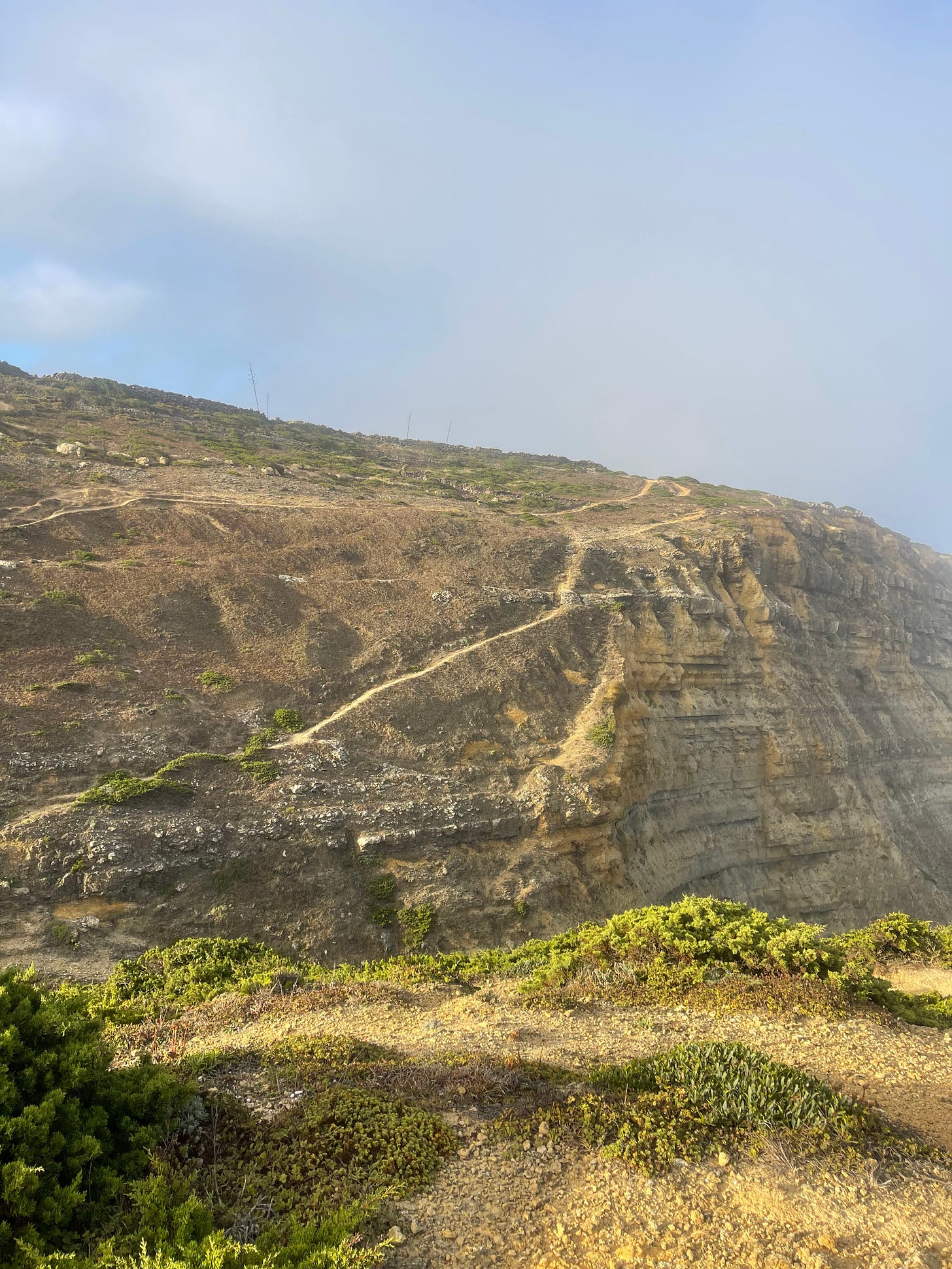
The climb is indeed steep, a lot more than what it looks like on the photo, and to add salt to the wound, it starts as a sand dune. I smile. We tackle the runway slowly burying and unburying our feet in the sand. The ascent rate is slow but we gain altitude pretty fast. We have the window seat can admire the beach landscape and the hill on the other side as we climb to the clouds.
A spicy dune climb
The sand dune can only go that high, giving way to a dusty narrow scarp. The orography is such that it’s hard to impossible to discern where the top is. We are still running into the ocean direction so it is inevitable that we will have to turn south and face the final wall.
We have just taken off
Close to cruising altitude
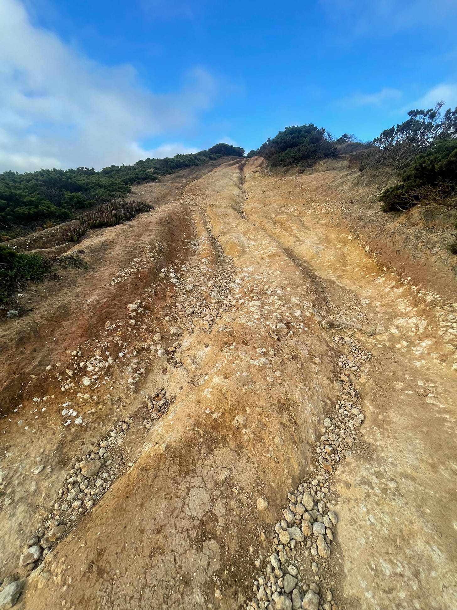
The altimeter goes haywire showing an ascent rate worthy of the Himalayas. Strava went low on oxygen, and showed a climbing rate of 28%. We are burning on all of our four engines by the Atlantic. It’s hard to get traction, almost making me run on four limbs instead of the usual two.
From a sand dune to an unbelievably steep and slippery climb
The view to the north attests to our altitude, my breathing rate is now competing with my heart rate. Both are begging for me to stay around and enjoy the view. Like on the battlefield, you have to tend to the ones that are not shouting. I can barely feel my legs, I am glad that we have an easier route ahead… not.
At our ceiling cruising altitude
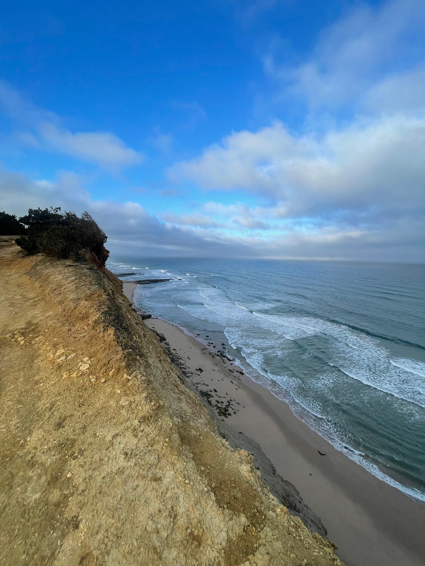
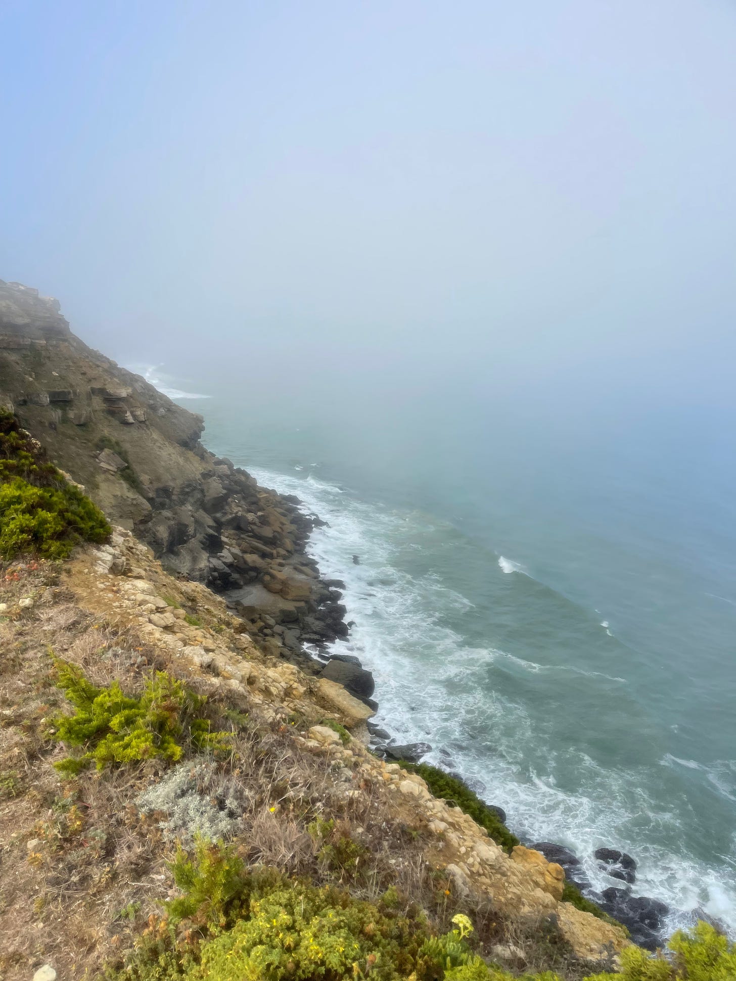
From the 14h to the 16th km we are able to go very close the edge with splendid views of the magnificent four: the ocean, the beaches, the cliffs and the sky. There’s no such thing as flat terrain here, we keep hopping along. There many areas where we have to stop to go down or to climb. I could be making some jumps but chose keep the risk to a minimum. The trails, the beaches, the oceans and the skies are empty.
Pretty close to the edge
The scale is so big that it’s hard to imagine that we humans can really damage nature, I guess we are just persistent at doing it. I feel like a grain of sand in the middle of these giants. I would like to have the capability of really jumping of these cliffs and flying around. Viewing this landscape from the ocean should be a powerful experience.
What a painting!
Don’t forget to look back
I keep following the ridge line, looking at the photos, I sure was going close to the edge. I never felt unsafe, the wind was not blowing too hard, and the space always felt more than adequate - I am not one to take reckless risks (sometimes on my MTB I get a little too carried away, but I am wearing lots of protection).
Running on a thin-line
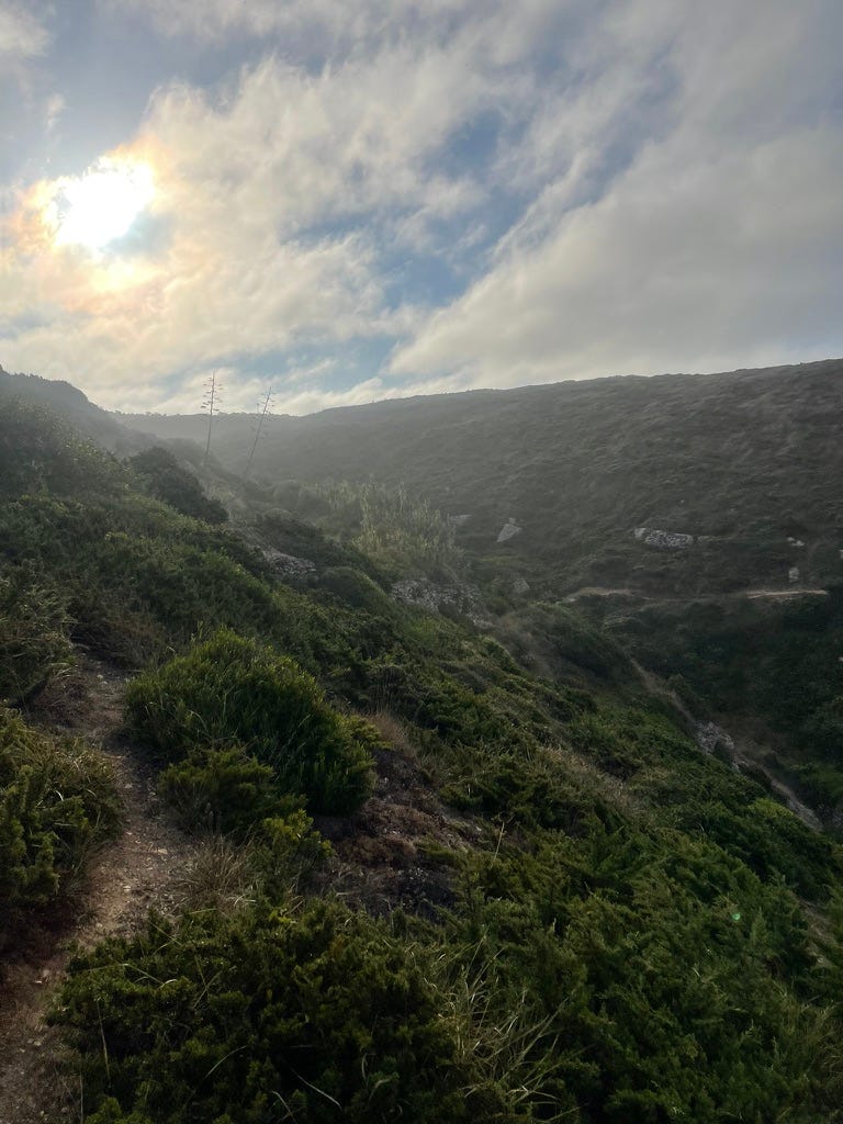
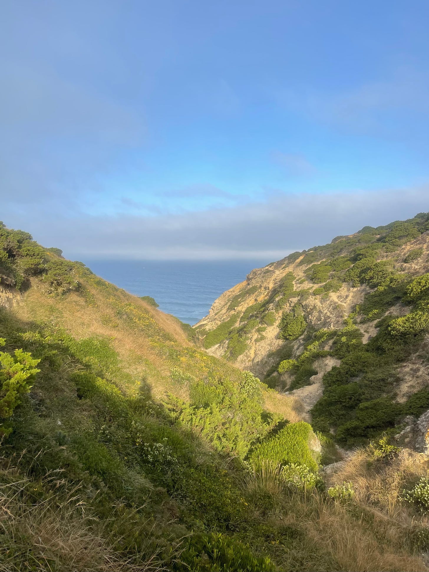
At the 17.5 km we can to a very narrow canyon with a scary looking climb on the other side. I had plotted the correct path on my phone but for some reason did not bother to look it up and started following what I thought to be the correct path. I seriously botched it, ended up trying to go down an impossible crossing of the canyon. It was dangerously steep and the vegetation covered some treacherous vertical rocks. I spent quite a while going down until I realized that the crossing was actually close to the ocean.
Time to put on my goat costume
This one was a challenge, as many things in life, beauty hides all kinds of dangers. This canyon was beautiful, to the east and to the west. My MTB brand is Canyon, now that I think about it, it’s a superb brand name (and they are amazing bikes, I am on my second one, the first one lasted almost 14 years of intensive use and is still alive).
Lost in the canyon
Found the light in the canyon.
Looking back, can you spot the line down - I can’t, but somehow did it!
Time for another abrupt change of the landscape. The sandy beaches slowly mutate to rocks. It will take a couple of millions of years before the ocean expands the beach. We get a different batch of stonecrop and the same kind of taxing, radical terrain. It’s hard to leave out photos of this post, I could have shot with my eyes closed and would have gotten great pictures, even without the light that I was longing for.
Rocky beach
Climbs all come with great views
It’s time for another smaller challenge. The allure of the rocky trail lured me twice into dead ends, the kind where you could jump off the cliff coyote style. This road runner kept his eyes wide open and the camera always ready, kind of. I am by now so drenched in my sweat (3kg of it) that I do not have a clean pocket to store my phone. Every time I take it out, it’s all wet and the touch screen is unusable. The trick is to tell my friend Siri to open the camera App and then use the physical button to take the photo. There is not a single square mm in my body or clothes that is dry.
Remarkable dead end.
Love this succession of canyons
I am also surprised on how much dirt I collect on my legs, close to muddy MTB ride. It puzzles me how the dirt gets there, I am going to have to say that it is my incredible speed, I need some fenders on my shoes - mind-boggling. I think we were around the 18.5 km, it’s hard to track. By my location I fear that instead of the 21 we might end up around 25km. It has been a long run so far because of all the mountaineering, up and down.
A maze of trails, easy to spot from above, not as much down there
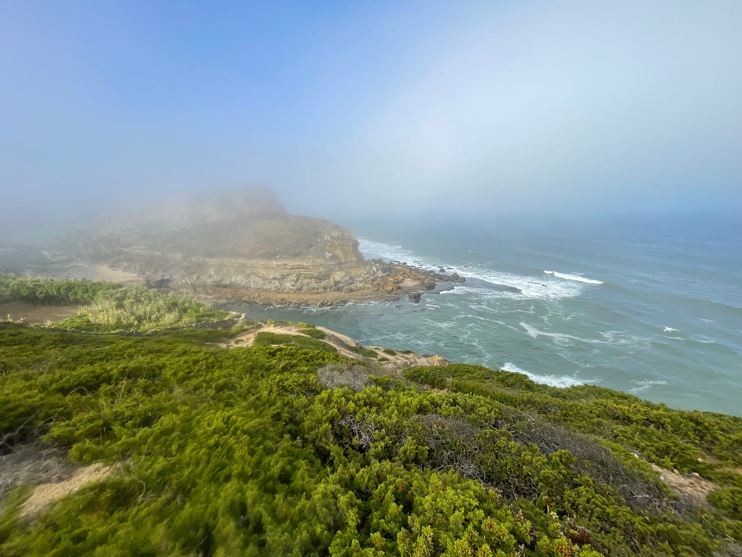
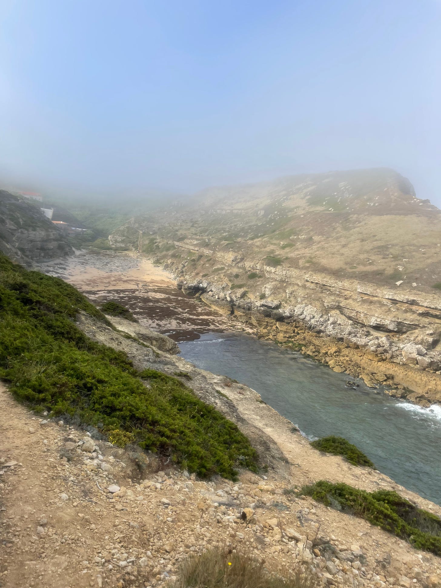
We are getting close to Praia da Samarra, our exit point from the cliffs. this last portion was also a challenge to navigate. A thick fog is now settling in by this beach (filled with rocks) and it provided an amazing scenery for my arrival. It’s late and the sun is ready to cook me, so I welcome this fresh helping hand.
Fog coming into land
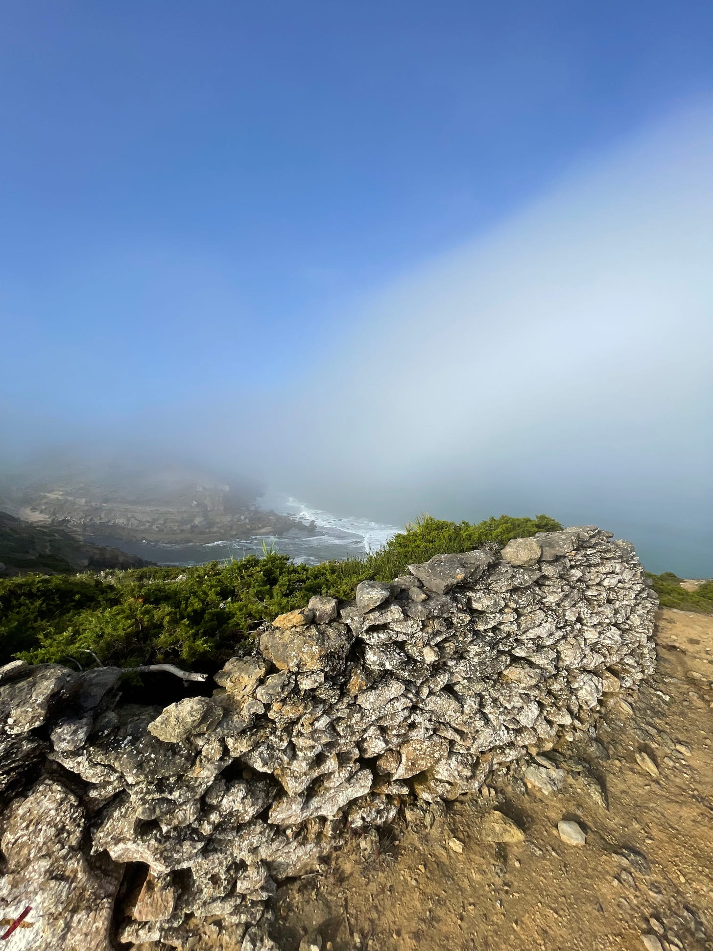
Another interesting surprise, a bunch of Celtic looking walls that add an extra spice of supernatural to the location. Remember, at this time of the day, it’s just us and the ghosts of the fog. The landscape becomes surreal. The trail is slightly confusing and I hit my head against a few dead-ends again. In the end, I figured out that we have to jump off the wall at point where it has been broken by the passage of time.
Celtic wall
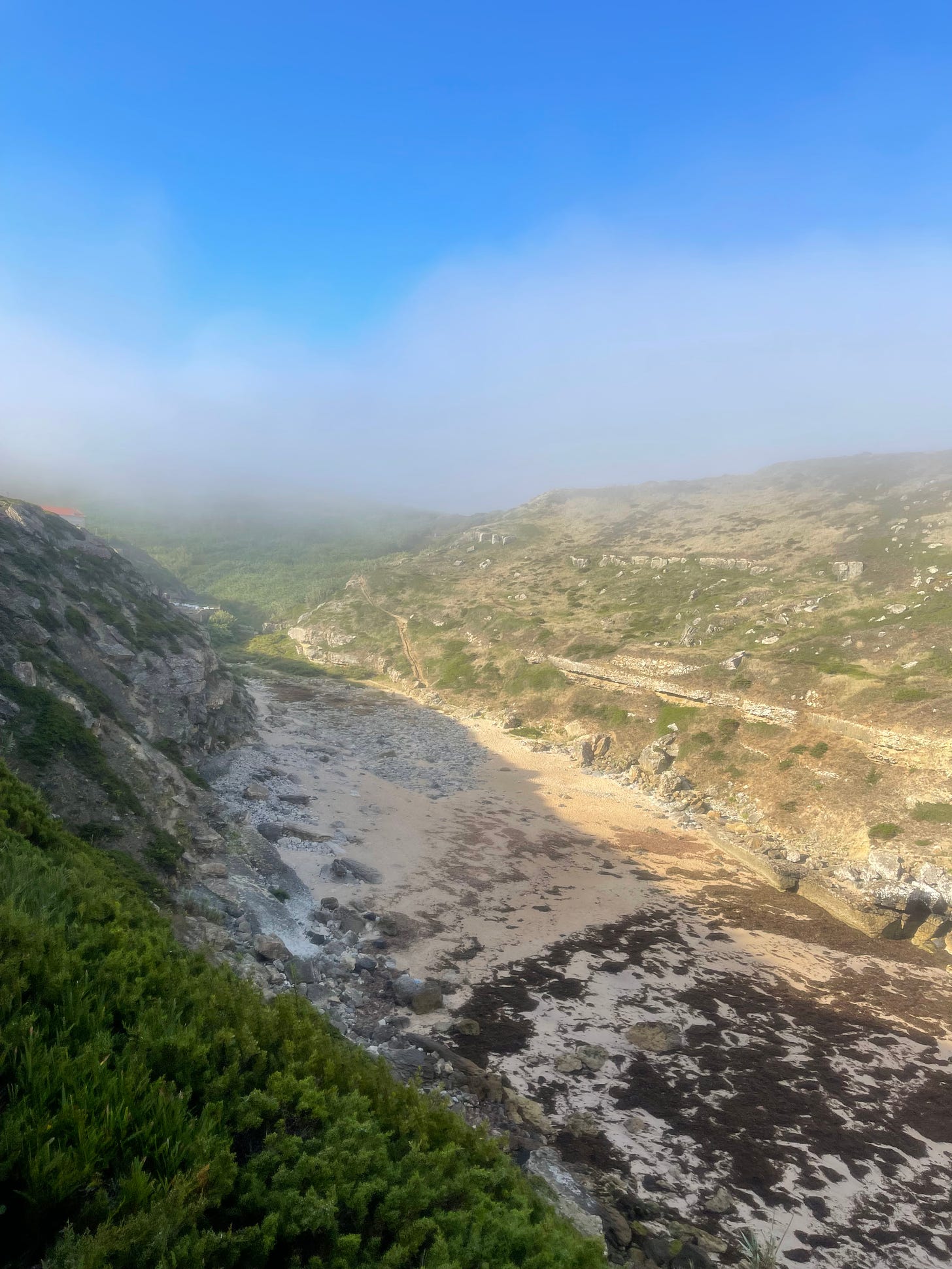
It’s a location filled with contrasts. The beach is down below on a canyon dug to the ocean. The north side of the canyon is sweetly frosted with stonecrop, while the south side is mostly of raw stones. The tiny beach has a very small portion of sand that magically turn into rocks at the touch of the sea water. It’s what is known as a wild beach, with no lifeguards. You are on your own.
Landing at Praia da Samarra
The approach to land at Praia da Samarra is wonderful. The trail is open, through the middle of the green, and of easy progression. The perfect postcard to say goodbye to the cliffs. I am preparing myself for at least 3 km of climbing to get back to the finish line.
_Praia da Samarra I _
Praia da Samarra II
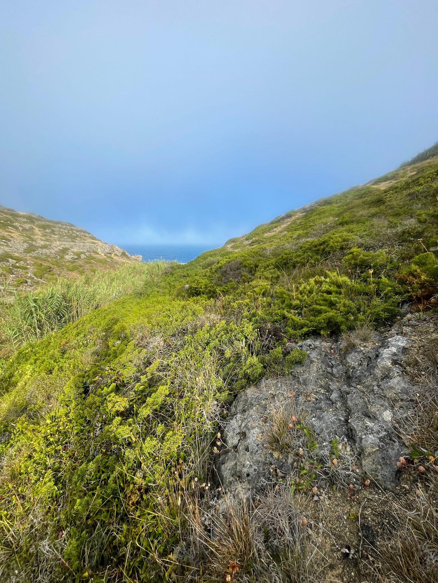
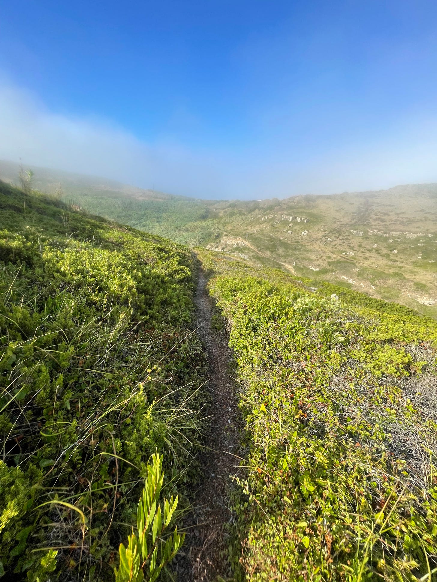
Still delighted by the wonders of Praia da Samarra and its cliffs, when I thought you could not top it, the exit off the beach turned up to be stunning. I love this kind of vegetation, the narrow single track, the bright blue sky with a touch of sugary fog, my jaw dropped. The trail is at one point swallowed by the vegetation and turns into some kind of a green tunnel.
Stunning
The cliff honeymoon is now over, and it’s time to get back to the village of Assafora. Indeed, we will be climbing for almost 3.5 km, slowly cooked by the sun. I was very lucky that the fog was shielding most of the heat, and also happy to be able to run again with a steady pace. No more rock hopping.
The oven has been turned on
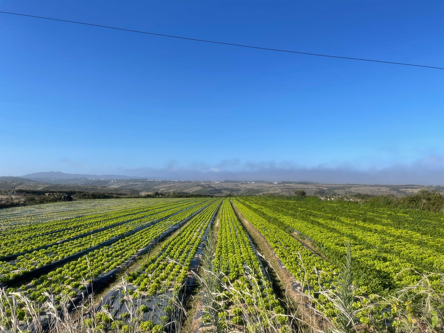
Lunch starter is served
On our way to Assafora (where I met my cousin and her husband) there several farming lands, and early hard workers already laboring on bringing fresh vegetables to our tables. Crops have no concept of the weekend, everyday is a working day.
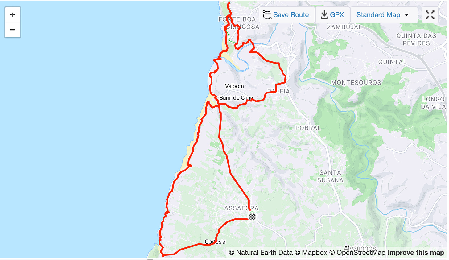
In has been the longest run of my adventure, and surprisingly with an impressive accumulated climb of 534 m (1751 feet). And each climbed meter today was an adventure of its own.
These trails are stupendous, I will definitely be back for hiking and running.
Yet another cherished leap off a cliff.
Enjoy your runs!
-APF
 Route and profile as recorded by Strava
