52 Weeks, 52 Half Marathons - Stage 28
Cloud striking at the Sintra Peaks
Friday, July 26, 6:30 AM
The irony of yet another cloud malfunction. I was awoken at 3 AM by the movement alarm of my e-Bike. My run started even earlier than expected with an adrenaline rush to the storage floor, hoping not to encounter an improbable burglar. False alarm - another cloud mishap. I kissed my night-rest goodbye. It was less than 3 hours before my wake up alarm, it took me one hour of reading to get me back into sleep mode.
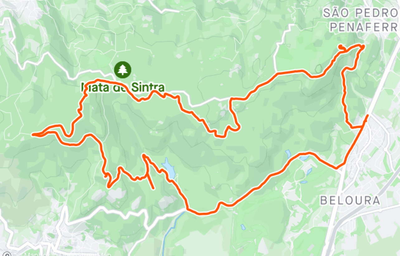
We park again easily by the supermarket Aldi of Beloura and cross the road to immediately start climbing up the mountain. I was beyond thrilled with the planned route.
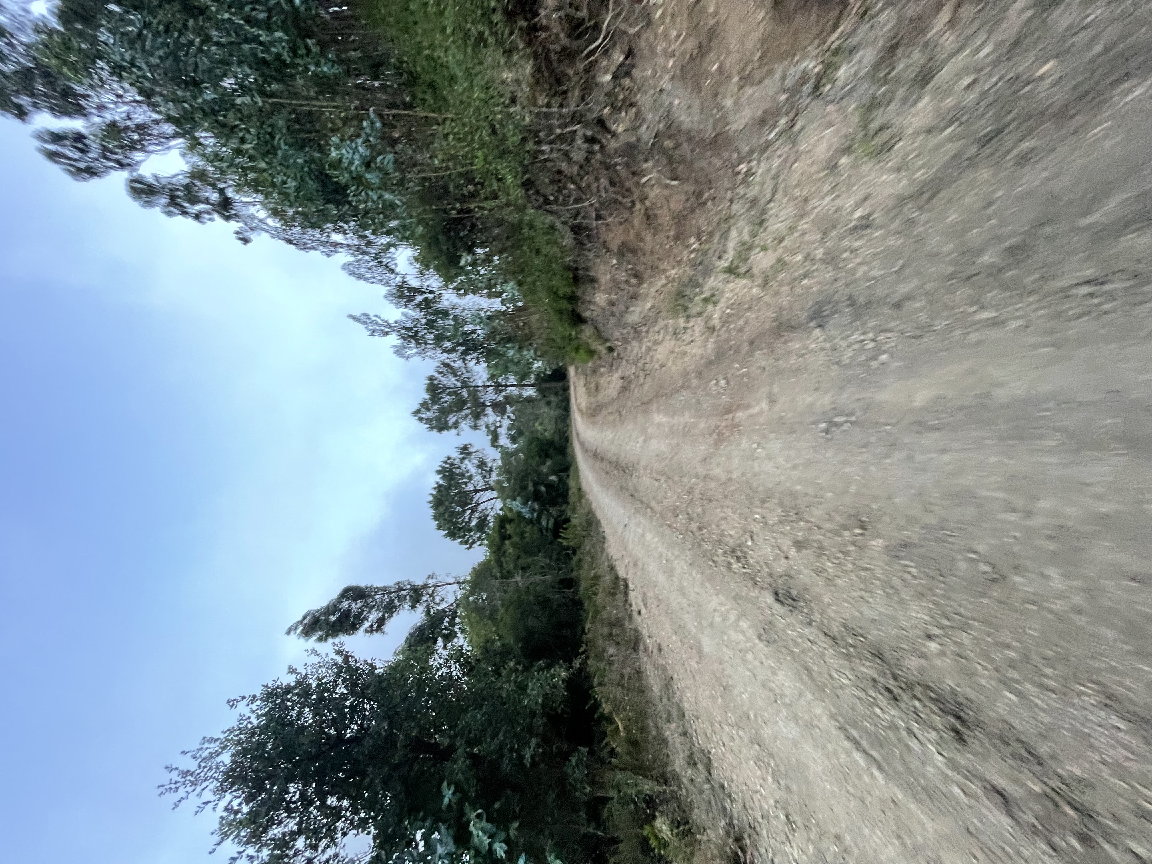
The first climb early sets the tone for the difficulty of today’s run
We will be following many of my usual MTB paths which means I will not need any navigation aids. The plan is to touch several peaks of Sintra that provide excellent panoramic views… should the weather allow.
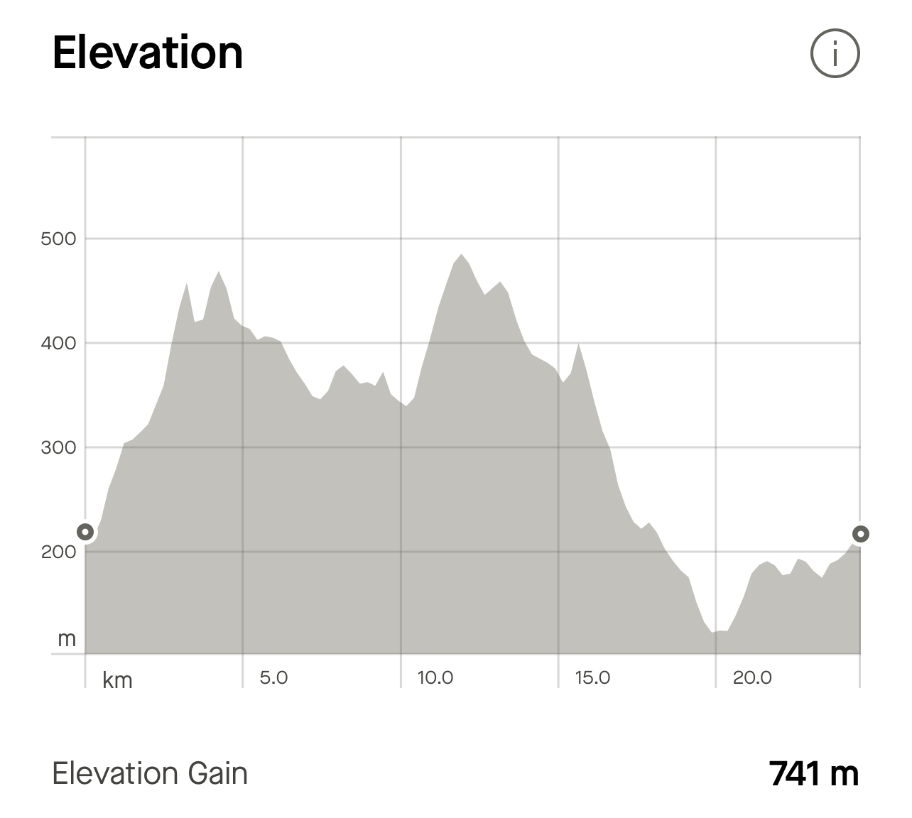
For starters, Sintra is serving us 3 km at 8.2% average ascent. This is the road that leads to a trail called Bielas - “Connecting Rod”. Unfortunately, I would find out two days after my run that the trail had been destroyed by the forest cleaning rangers.
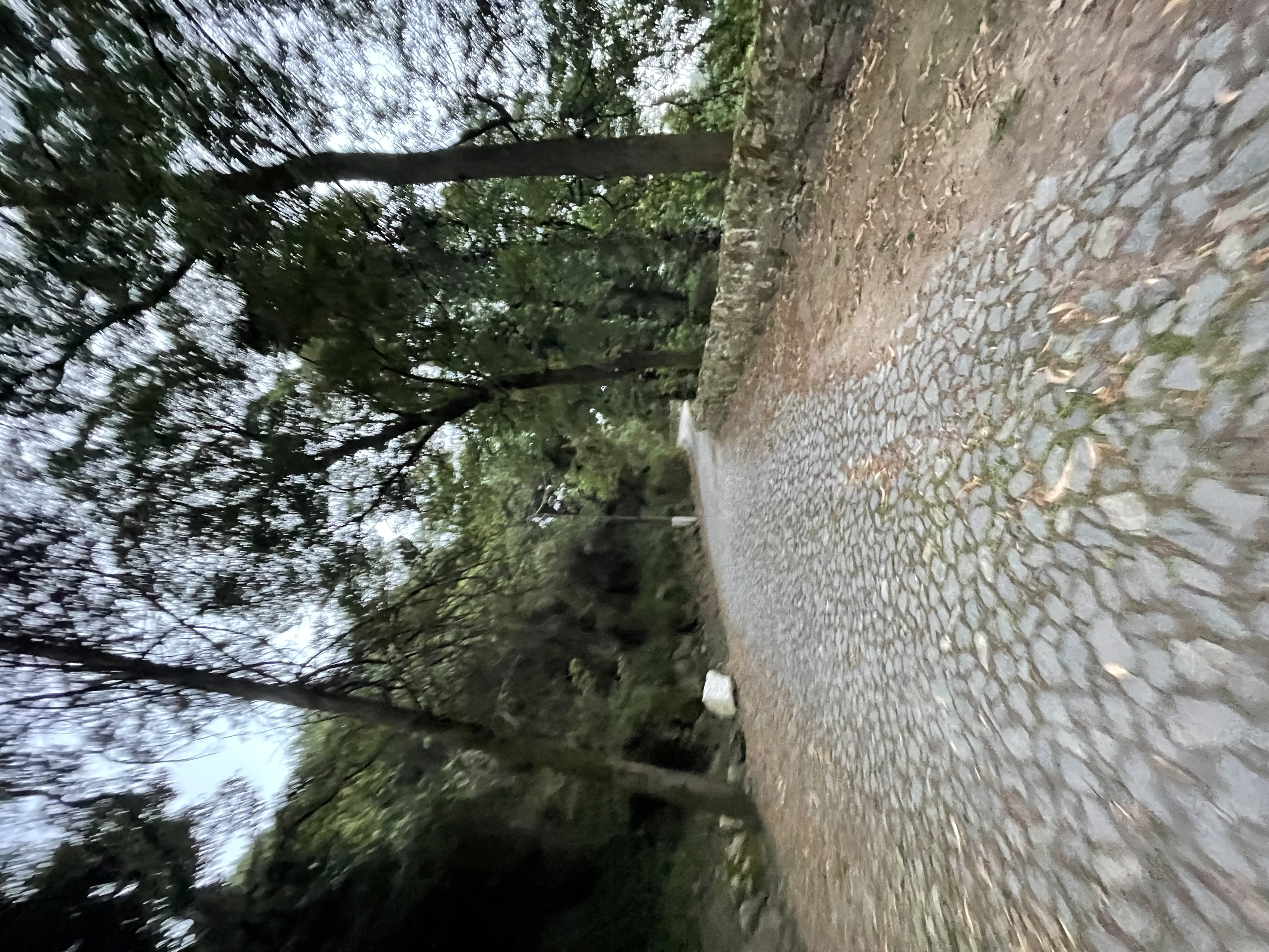
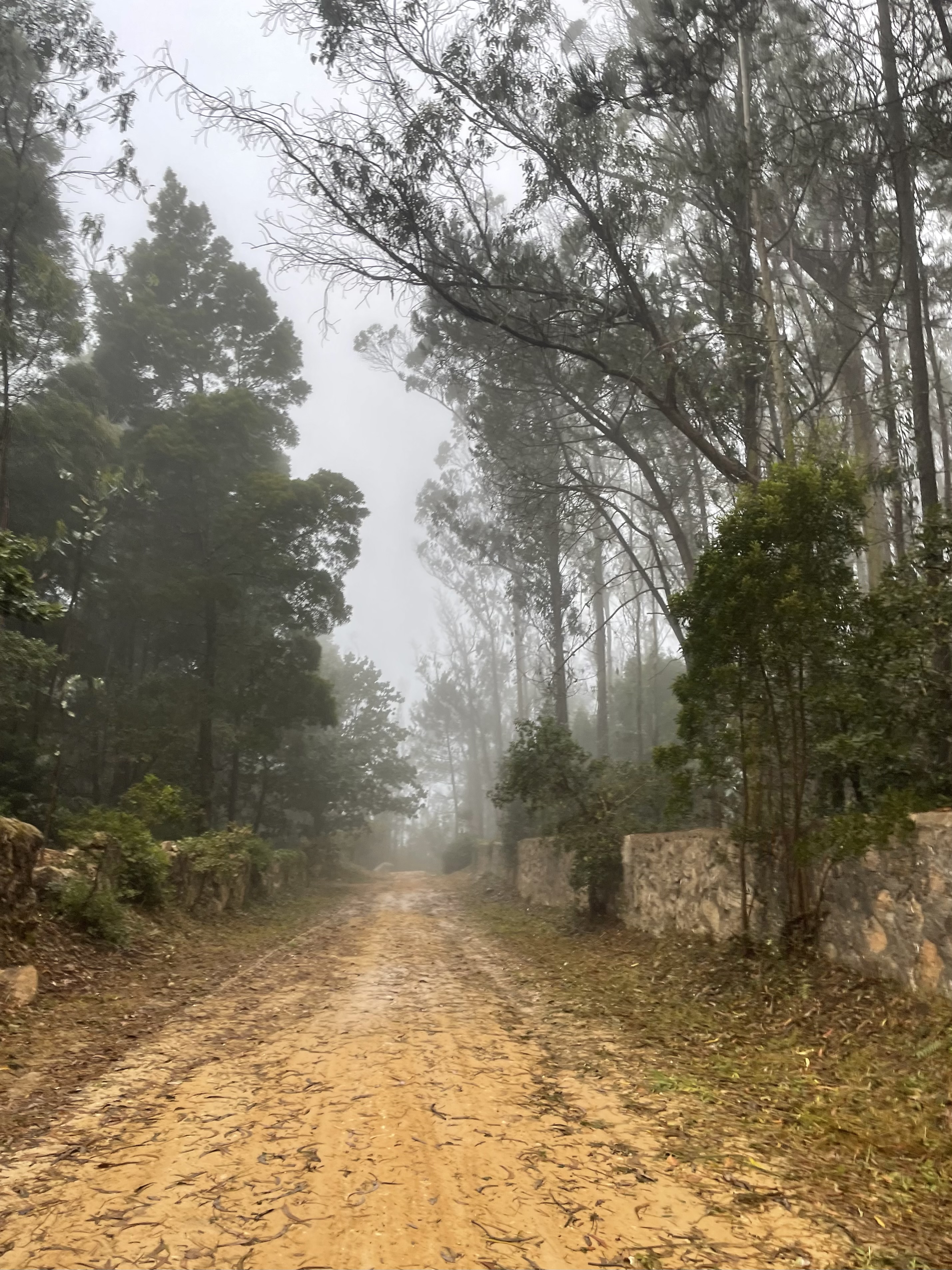
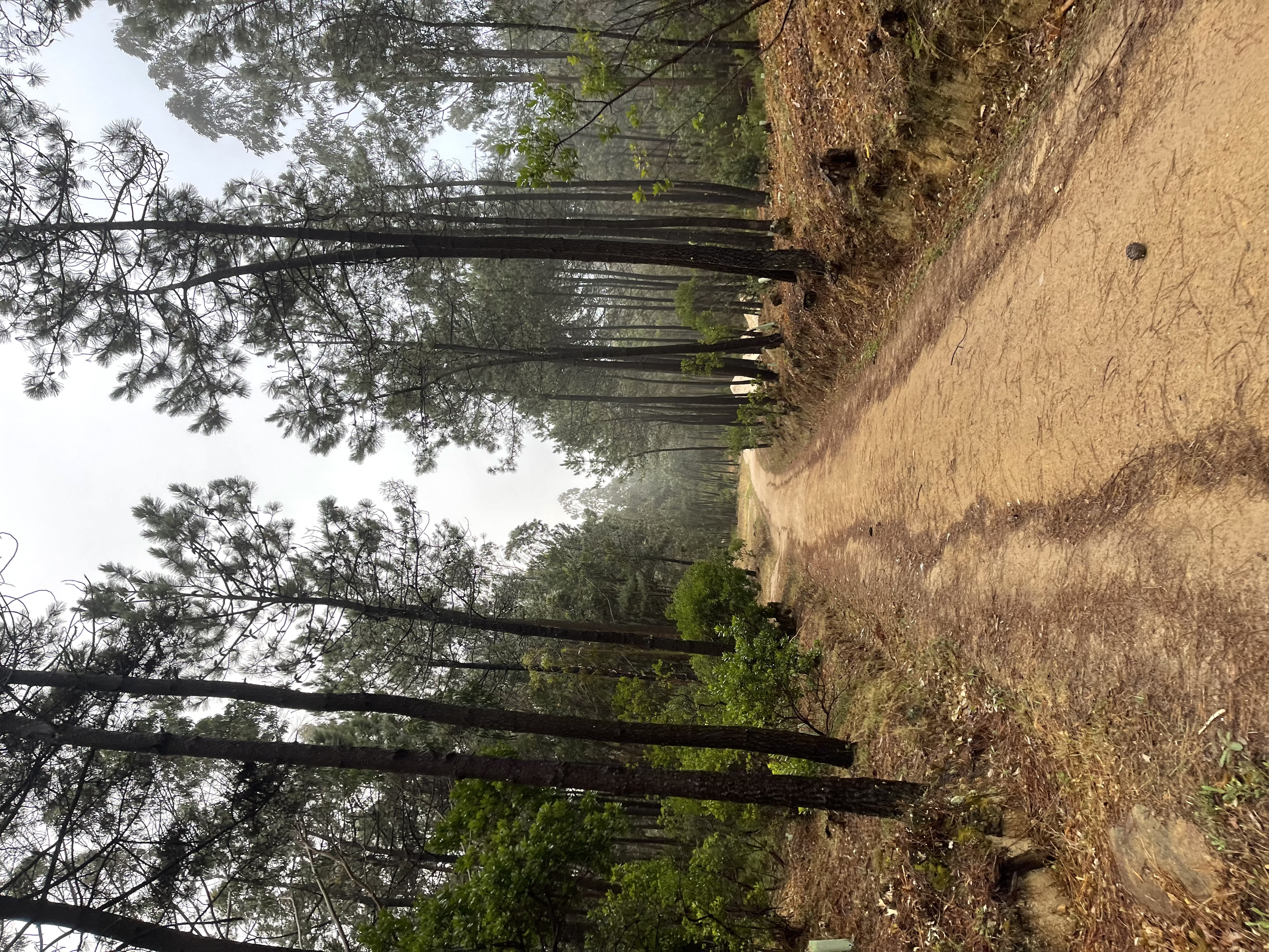
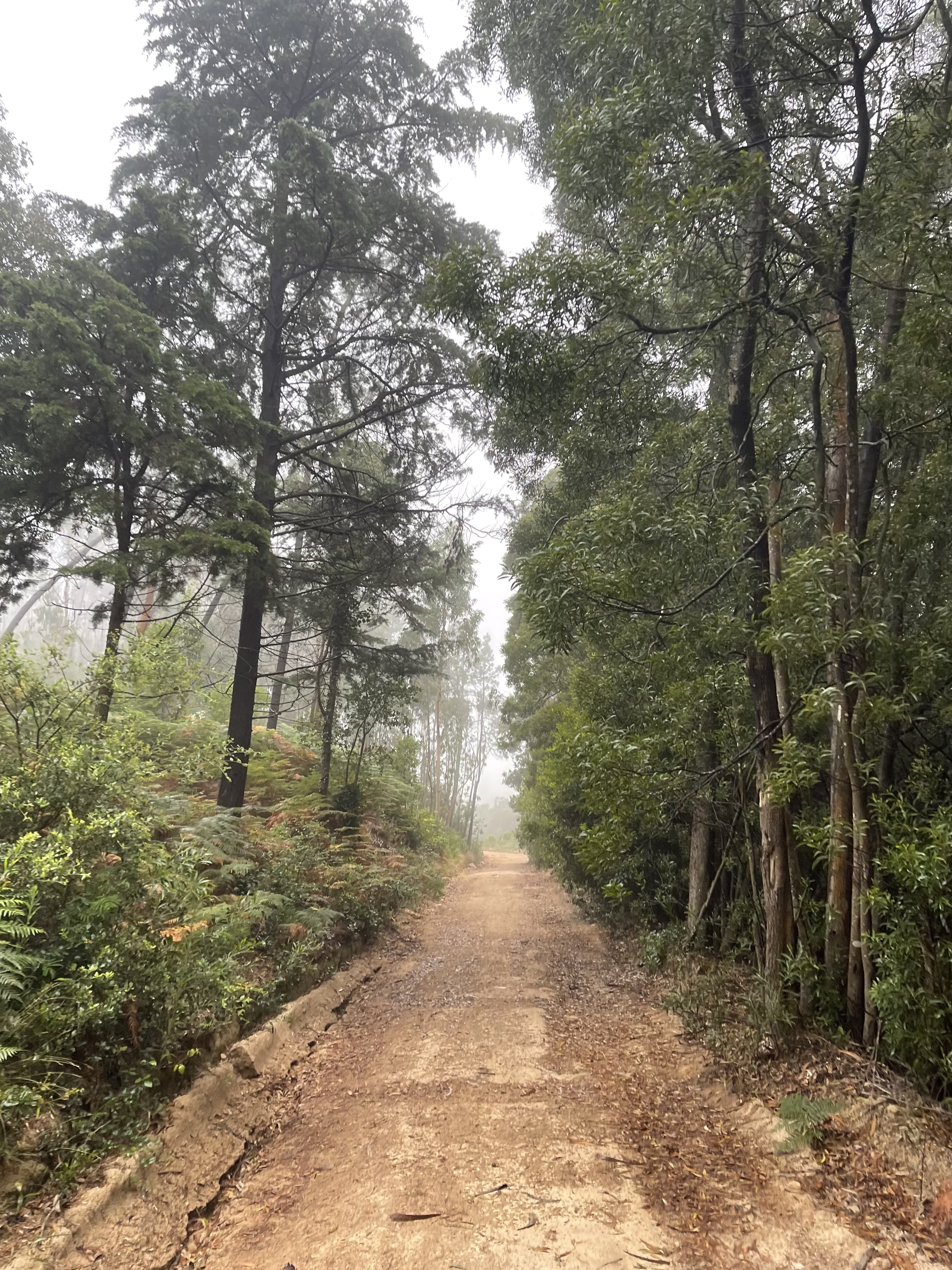
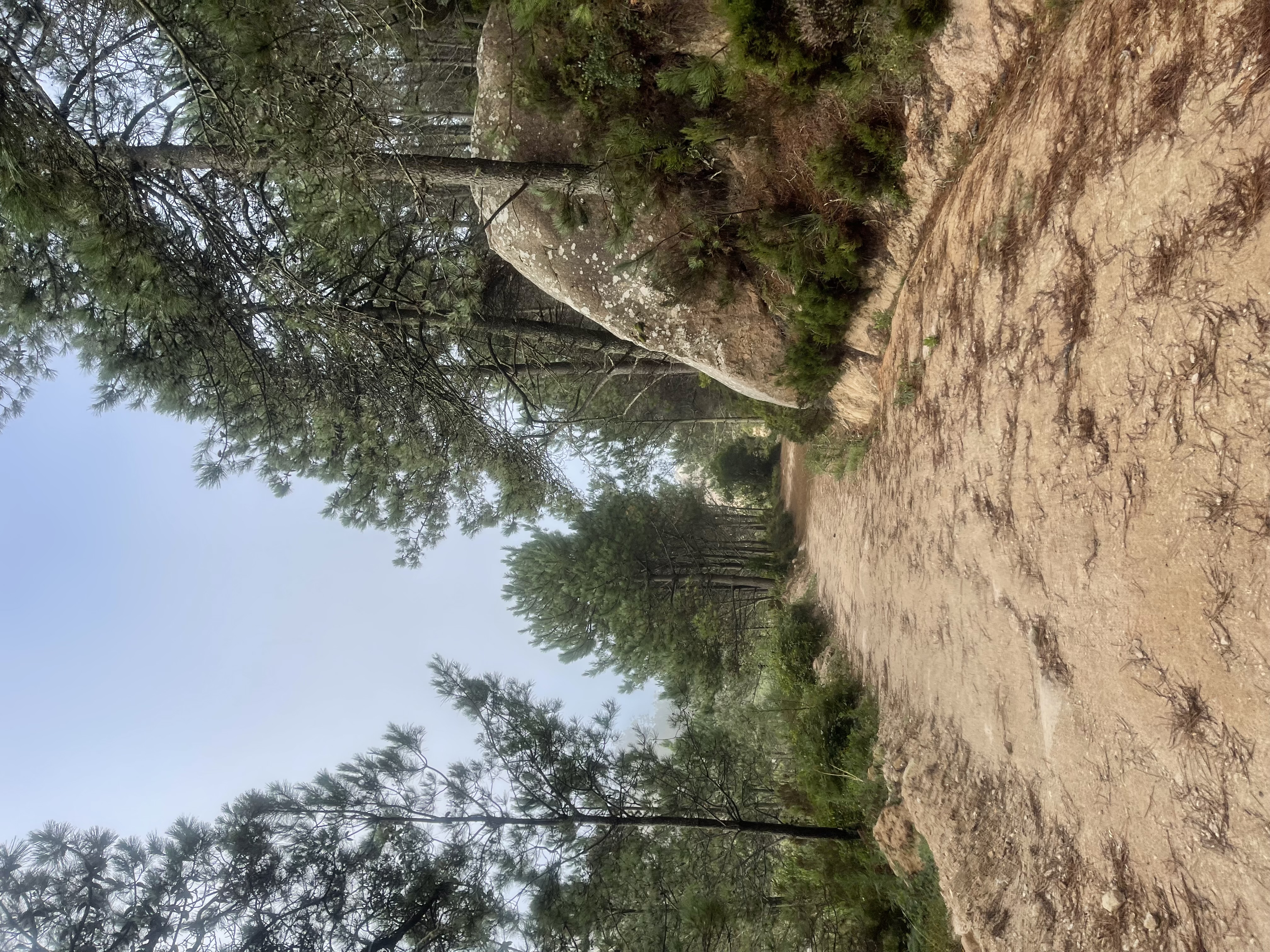
The variety of road pavement is quite surprising
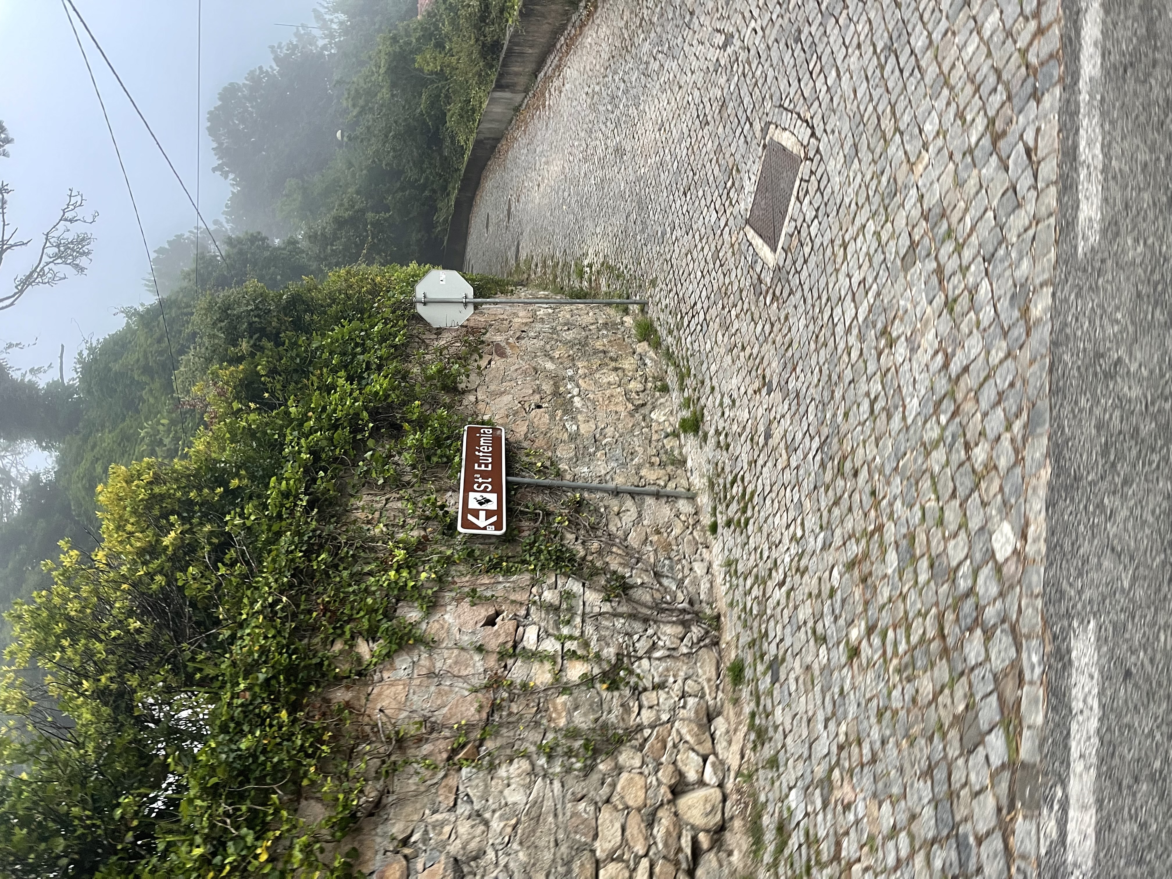
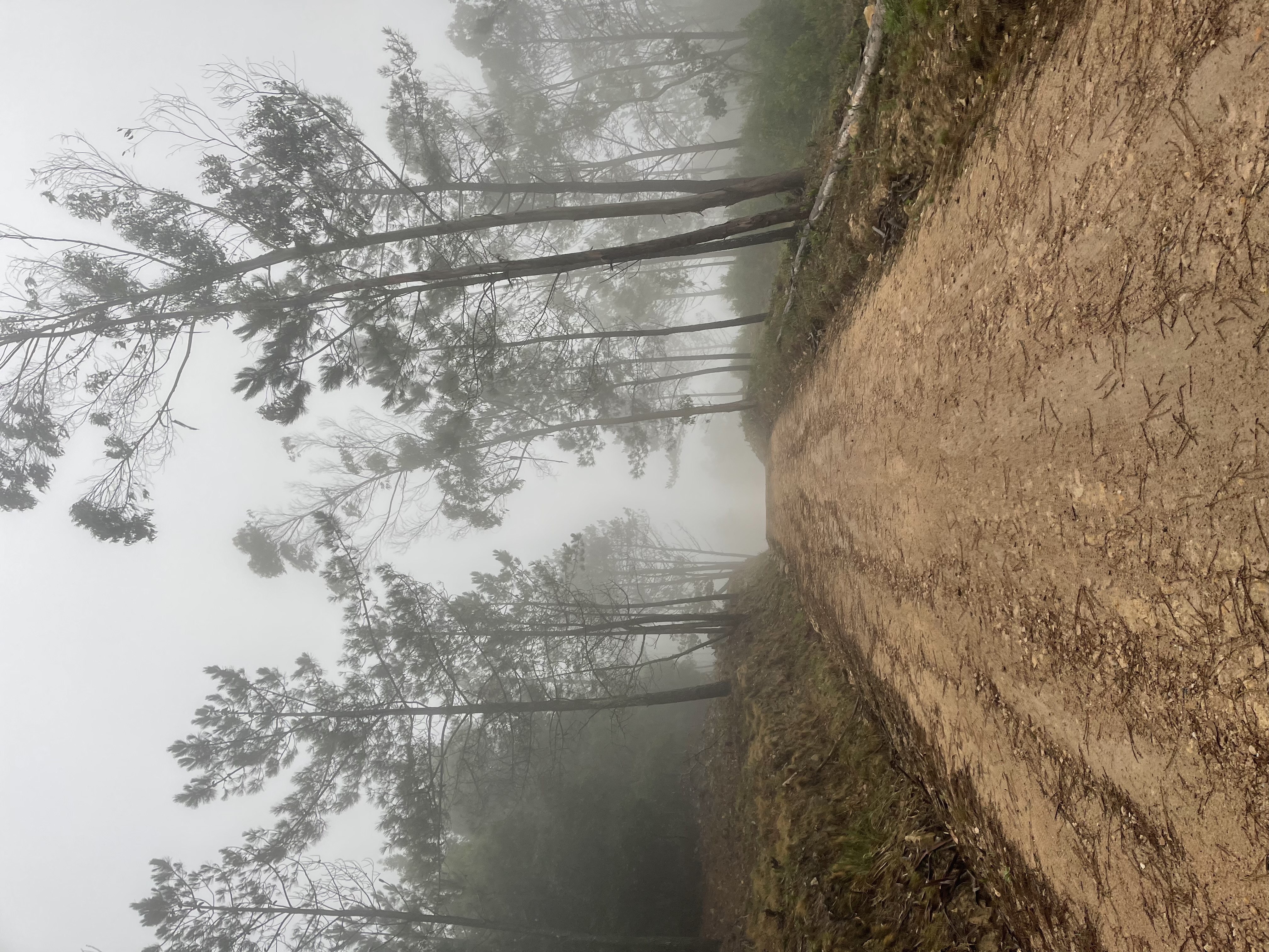
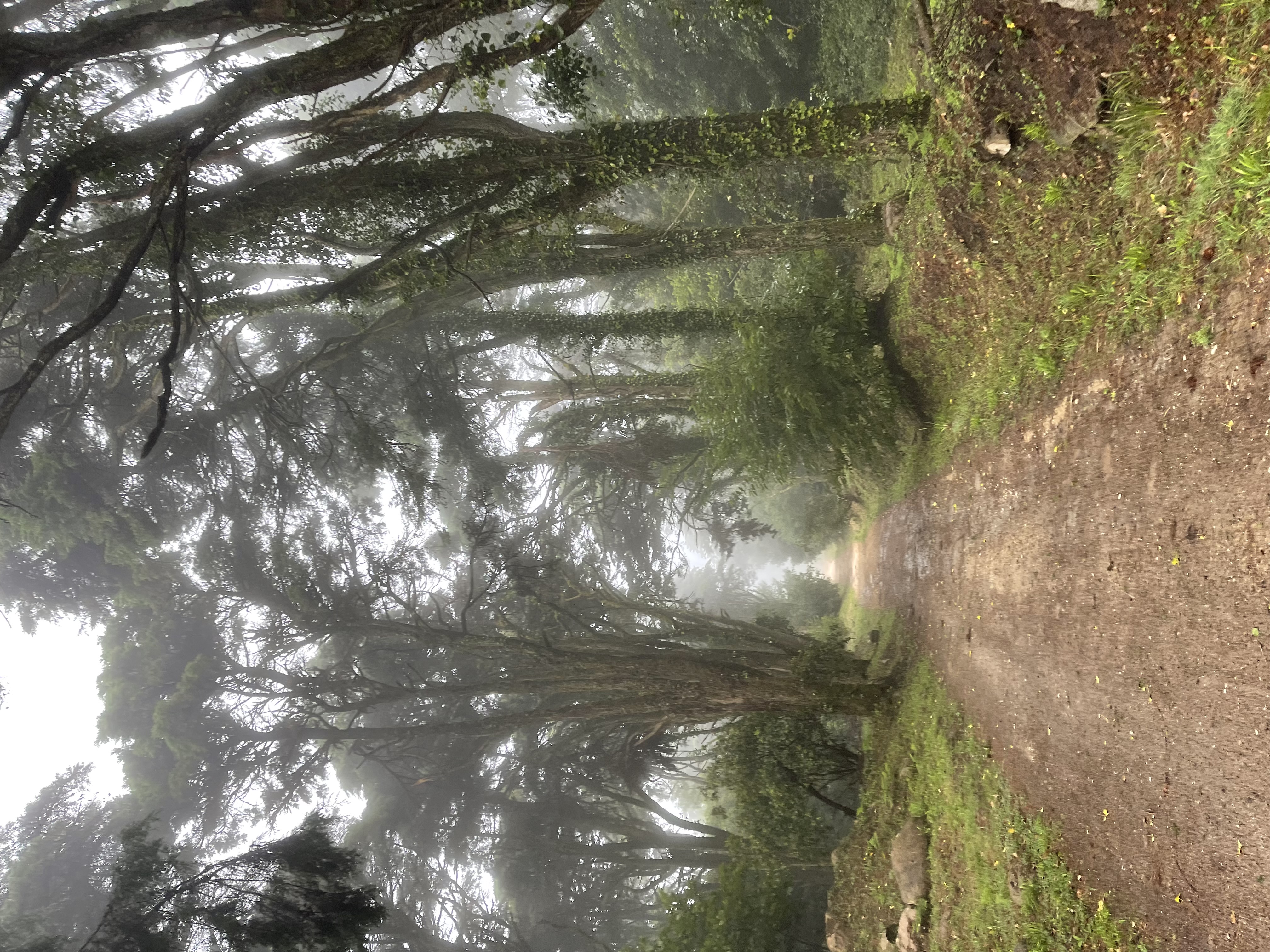
Our first peak is the Miradouro de Santa Eufémia, an unbelievable steep ascent that brings down many road biking adventurers and even cars if the road is slippery. We are clearly heading to dense fog and clouds on the top of the mountain. I wanted to capture some nice panoramic views, would have to switch the normal Sintra mist shots
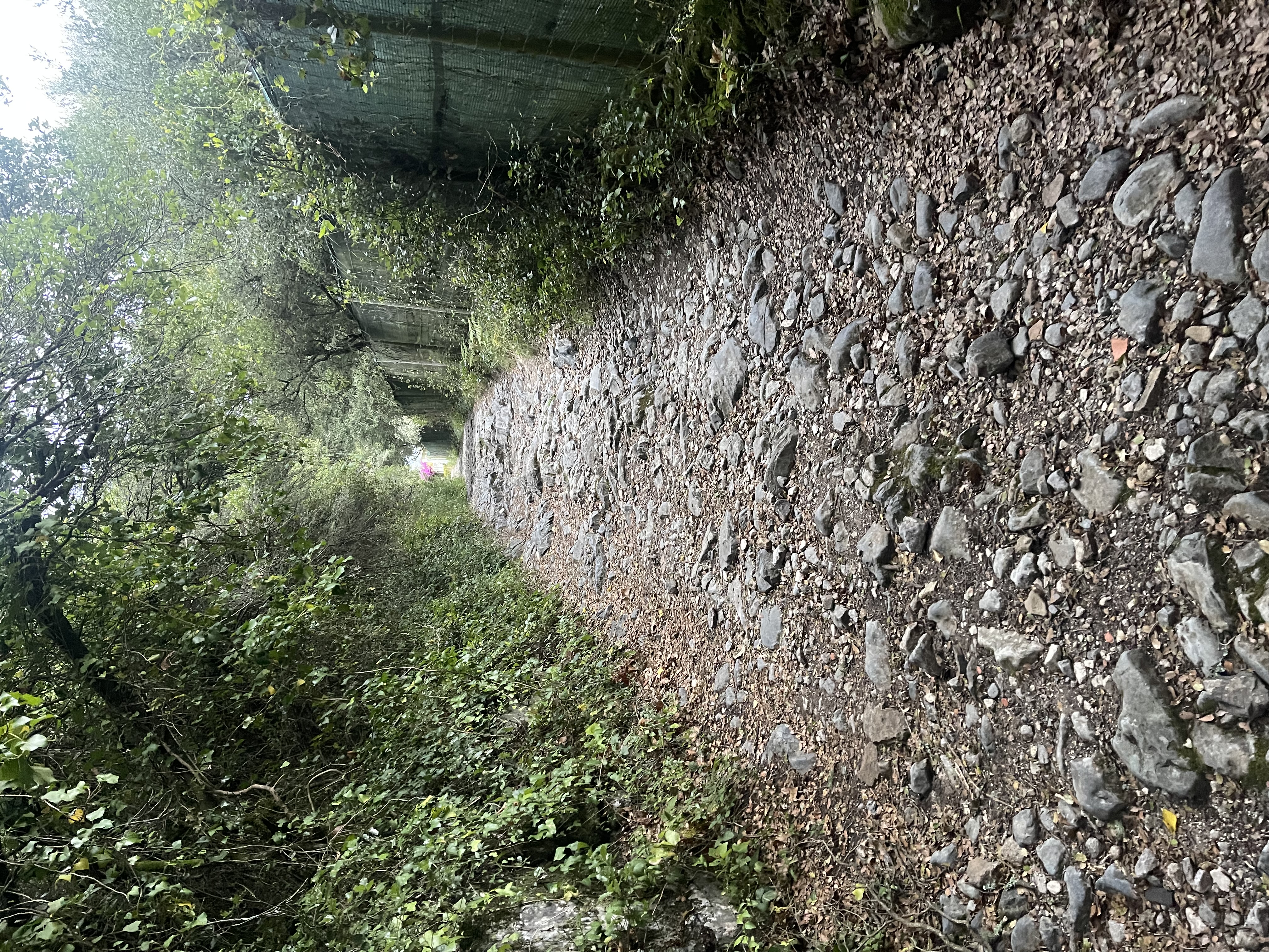
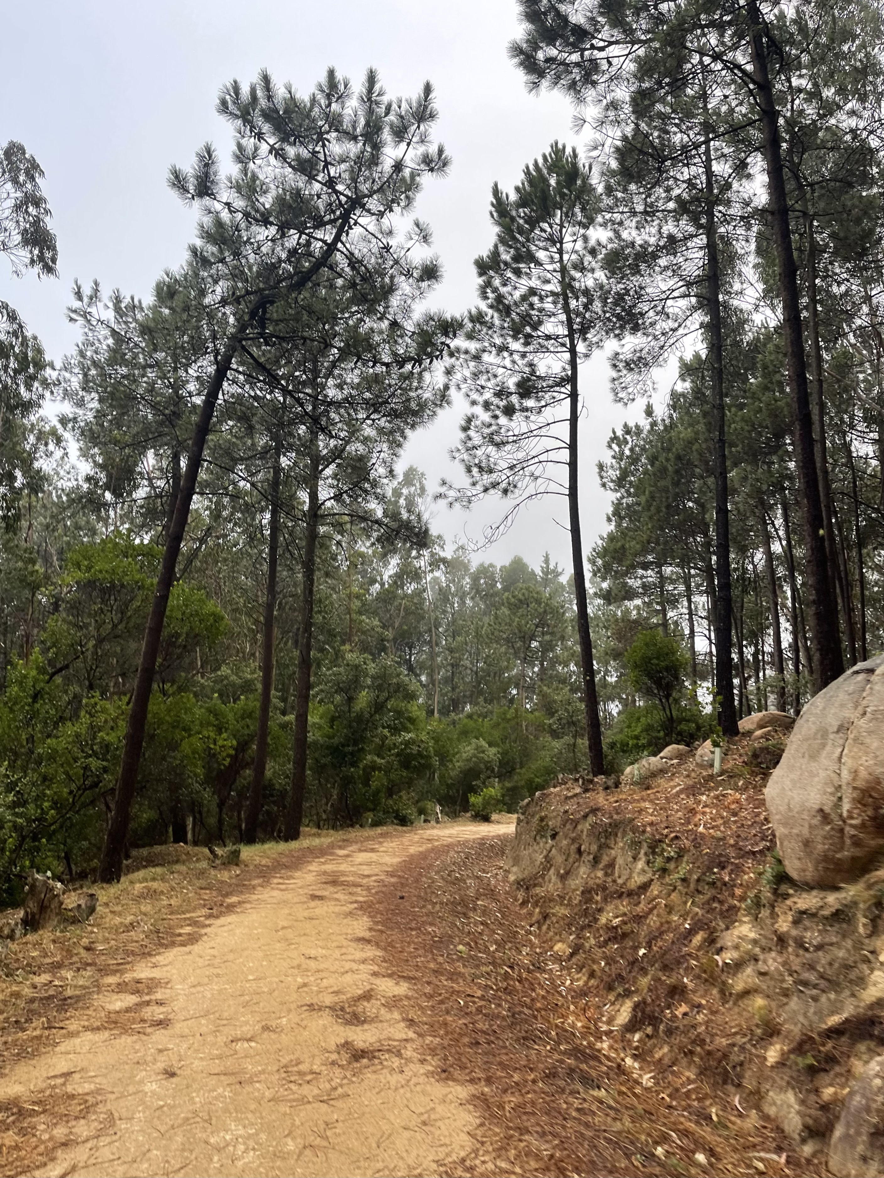
I don’t like rock gardens on my bike and even less running . But they do make nice pictures
The mixed trail takes us to the main road at km 2.4, where we will begin the final ascent. We enter the road to tackle 700 m at a massive average ascent grade of 14.7%. Borderline in need of oxygen tanks. You have to climb with your mind, not with your legs - it’s very hard, I feel an urge to do it again as I write these words.
Optical illusion, so steep going up that it even looks like it’s going down
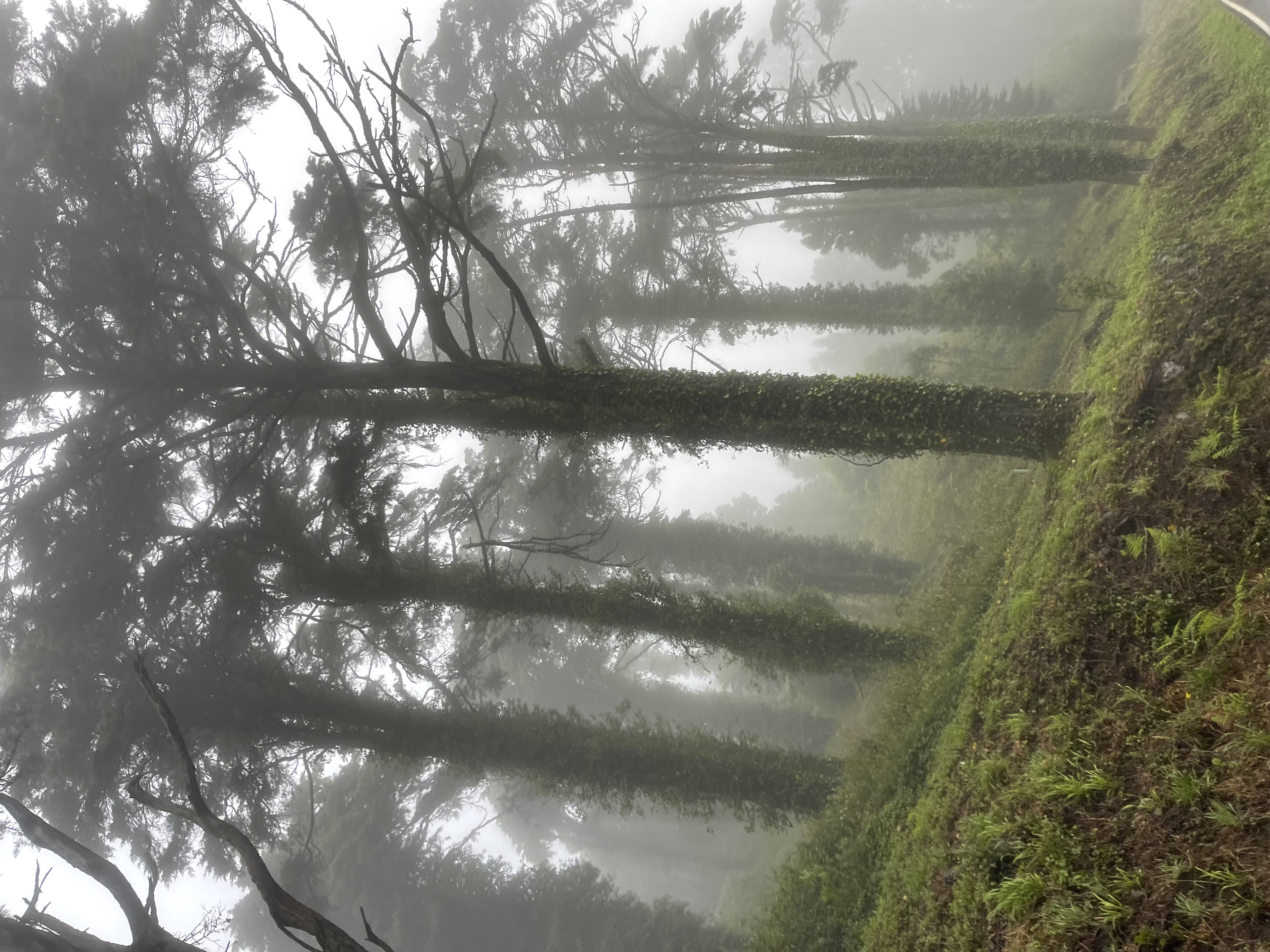
I suffer with the end in mind. The cloud/fog density is progressively increasing as we climb fast, a proof, if we needed one, of the aggressive slope. We have our usual music on: the feet stomping set the tempo, the breathing trying not to skip a beat, and the heart going on an increasing speeding solo. Music to my ears!
Like if there were any doubts on where to go…
I have not been up here that many times so I don’t really have a feeling for when I will get to the end of the road. The clouds make it harder to understand our position in the climb.
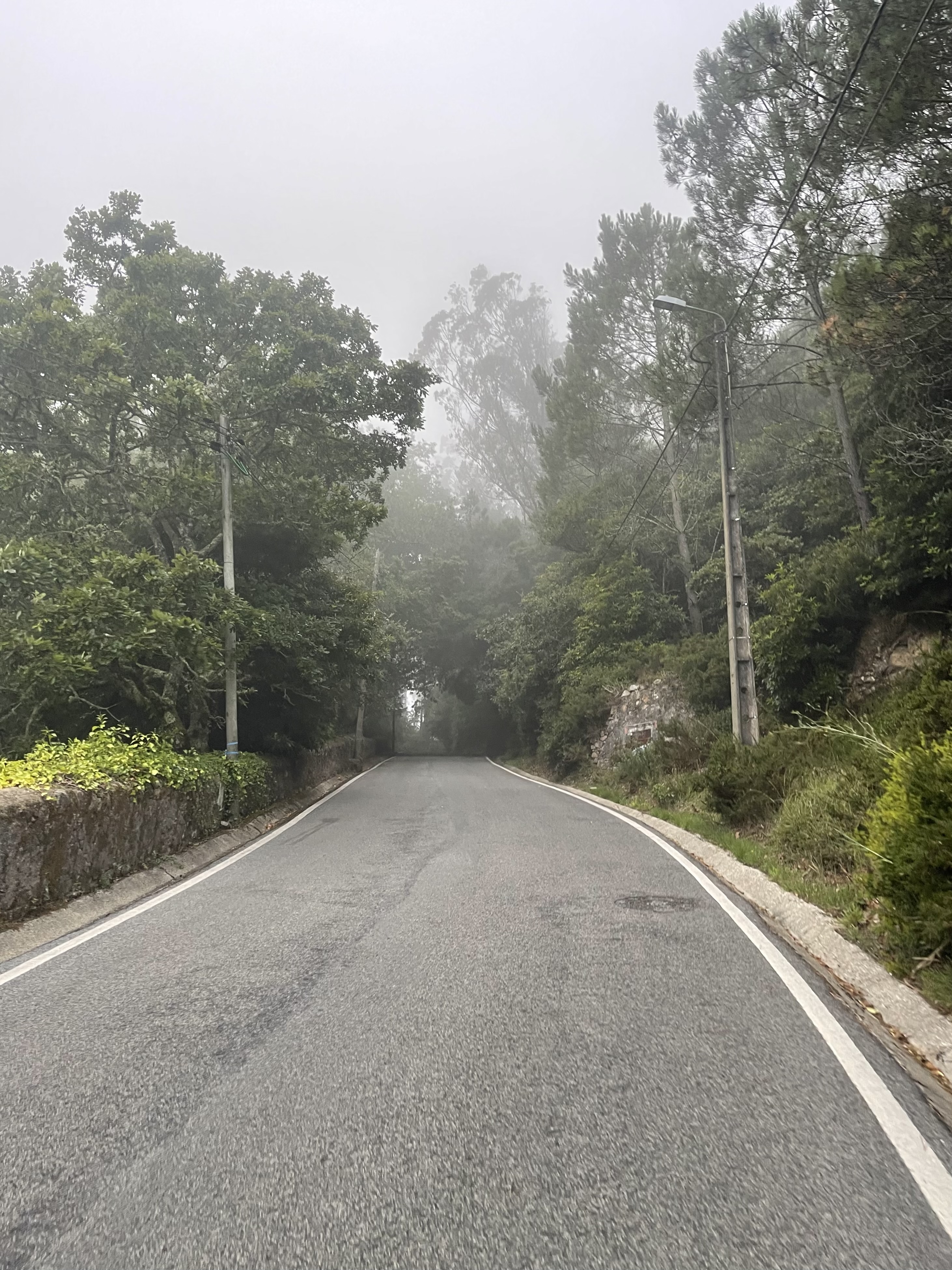
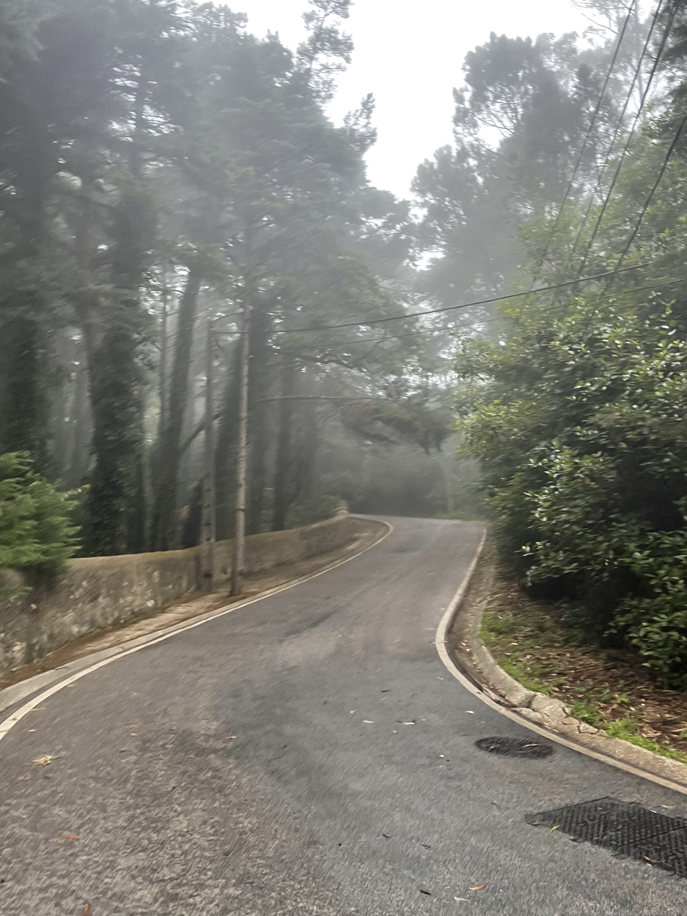
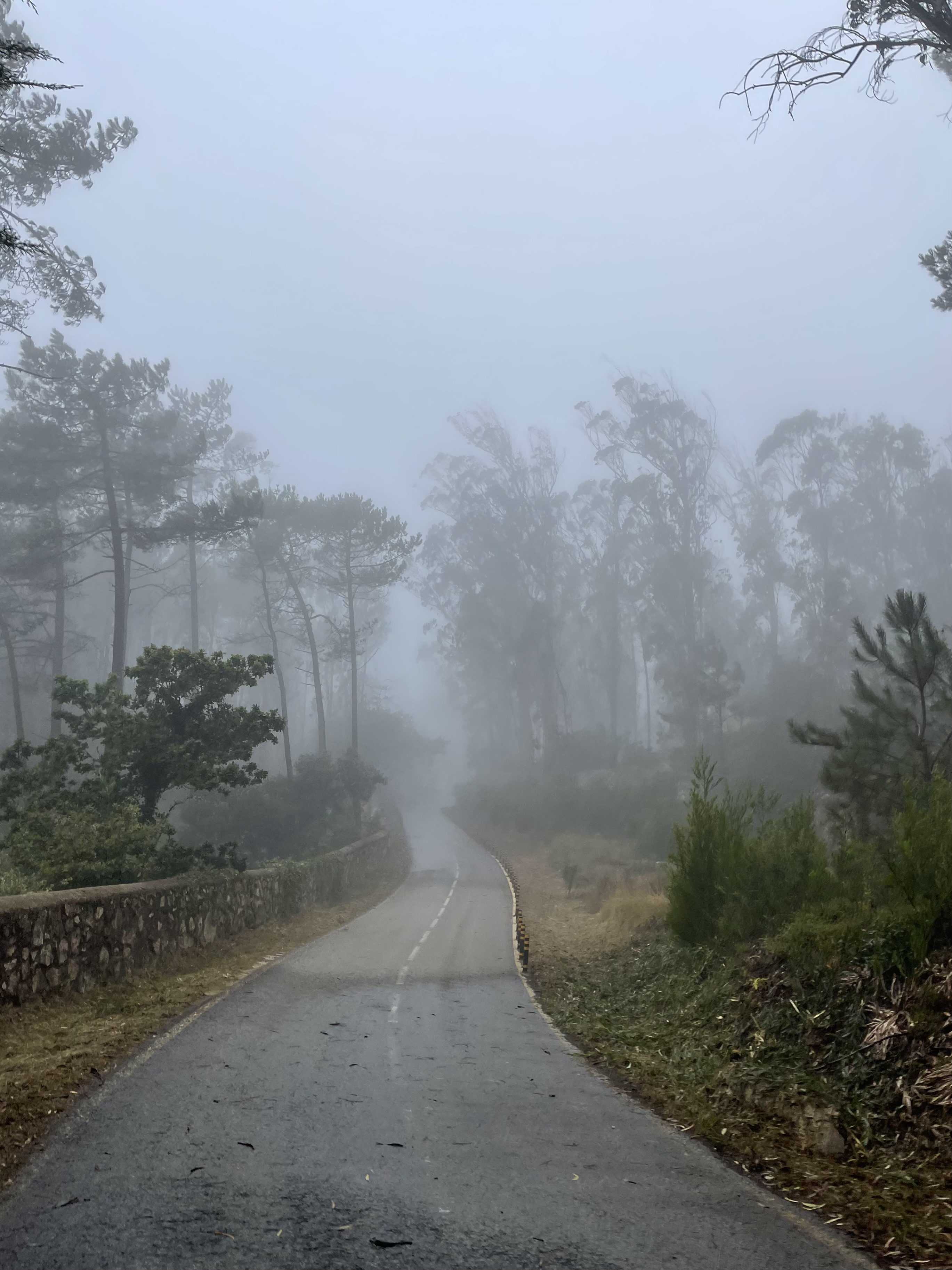
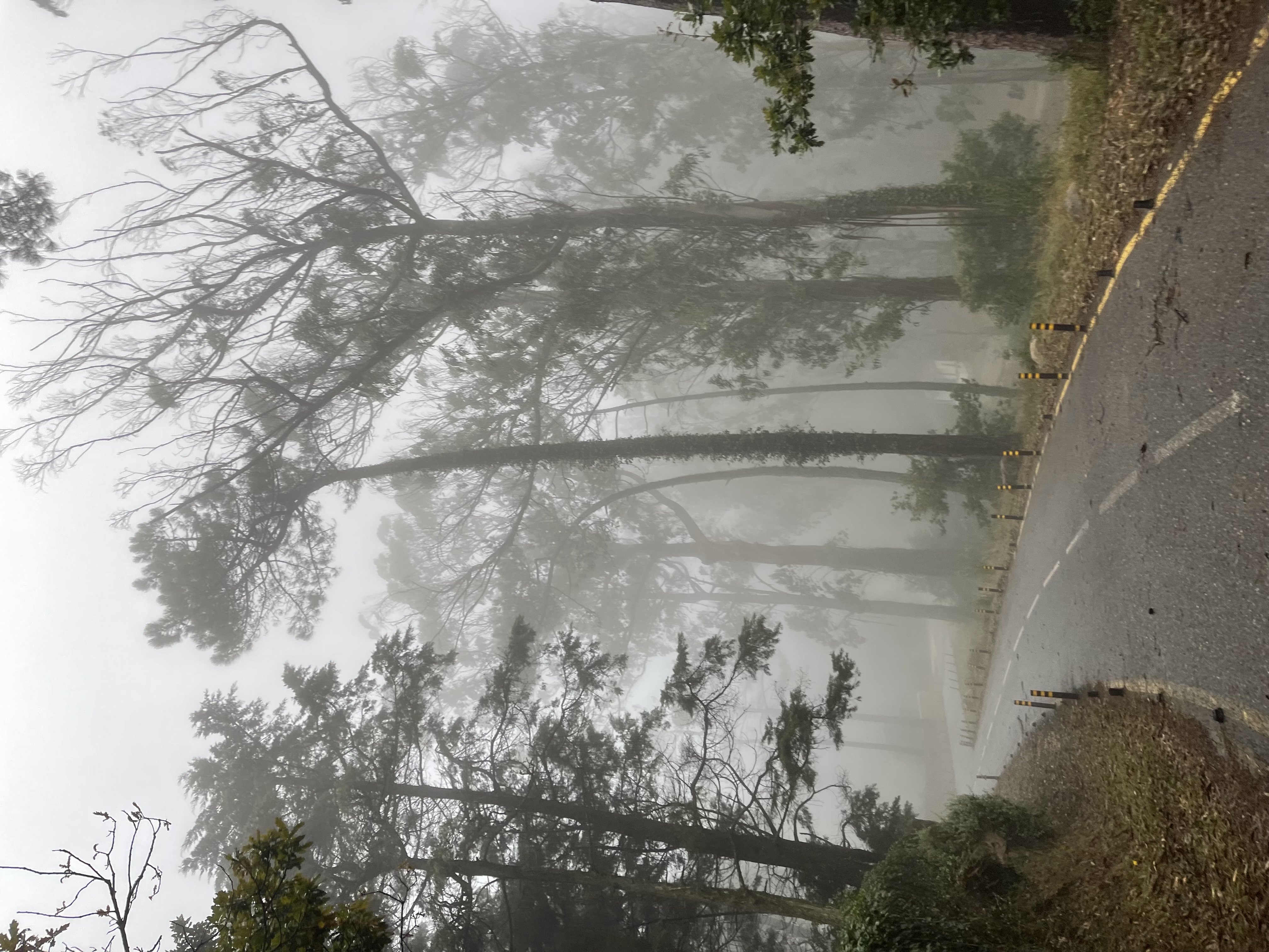
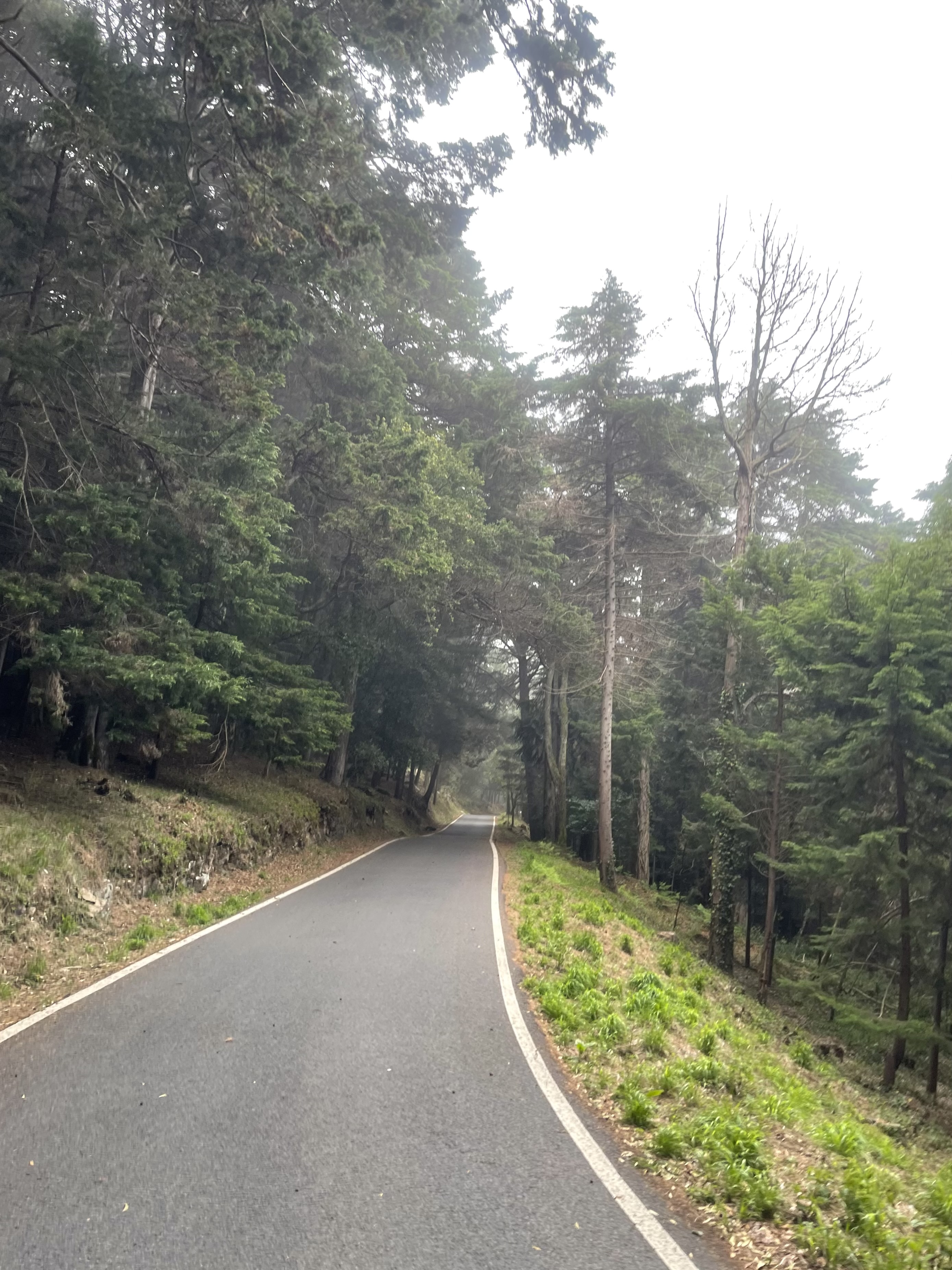
The winding road tries soften the climb, as if that was possible
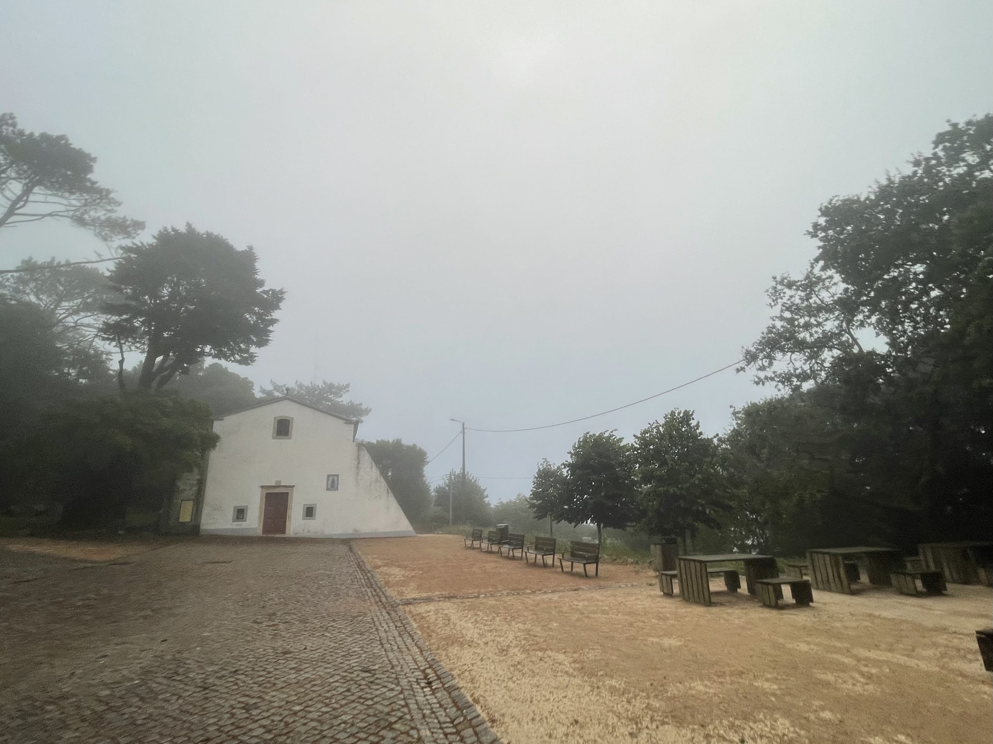
There is no way out for us at the top, so this is really a touch the flag effort to immediately go back to the trail. We arrive at the 1st peak, and have our first strike at the clouds triumphantly. The view from here to the east is amazing, but not today,
At the top, prisoned behind the clouds
We are at the border of Parque da Pena, the walled park where Palácio da Pena is located. We will be running along the wall on a very challenging but pretty sequence of hills until we reach another unexpected peak.
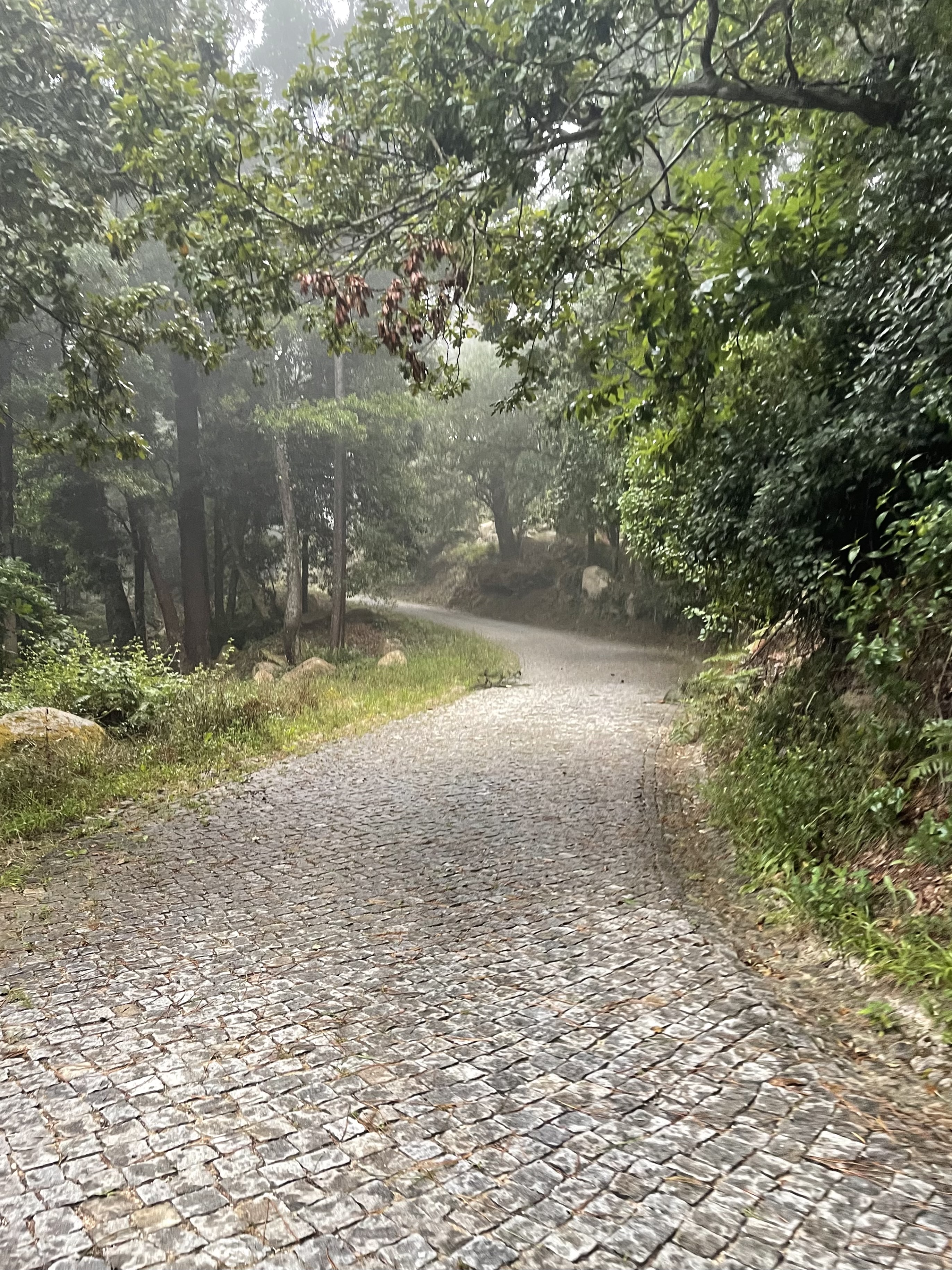
The road changes from dirt to cobblestone randomly
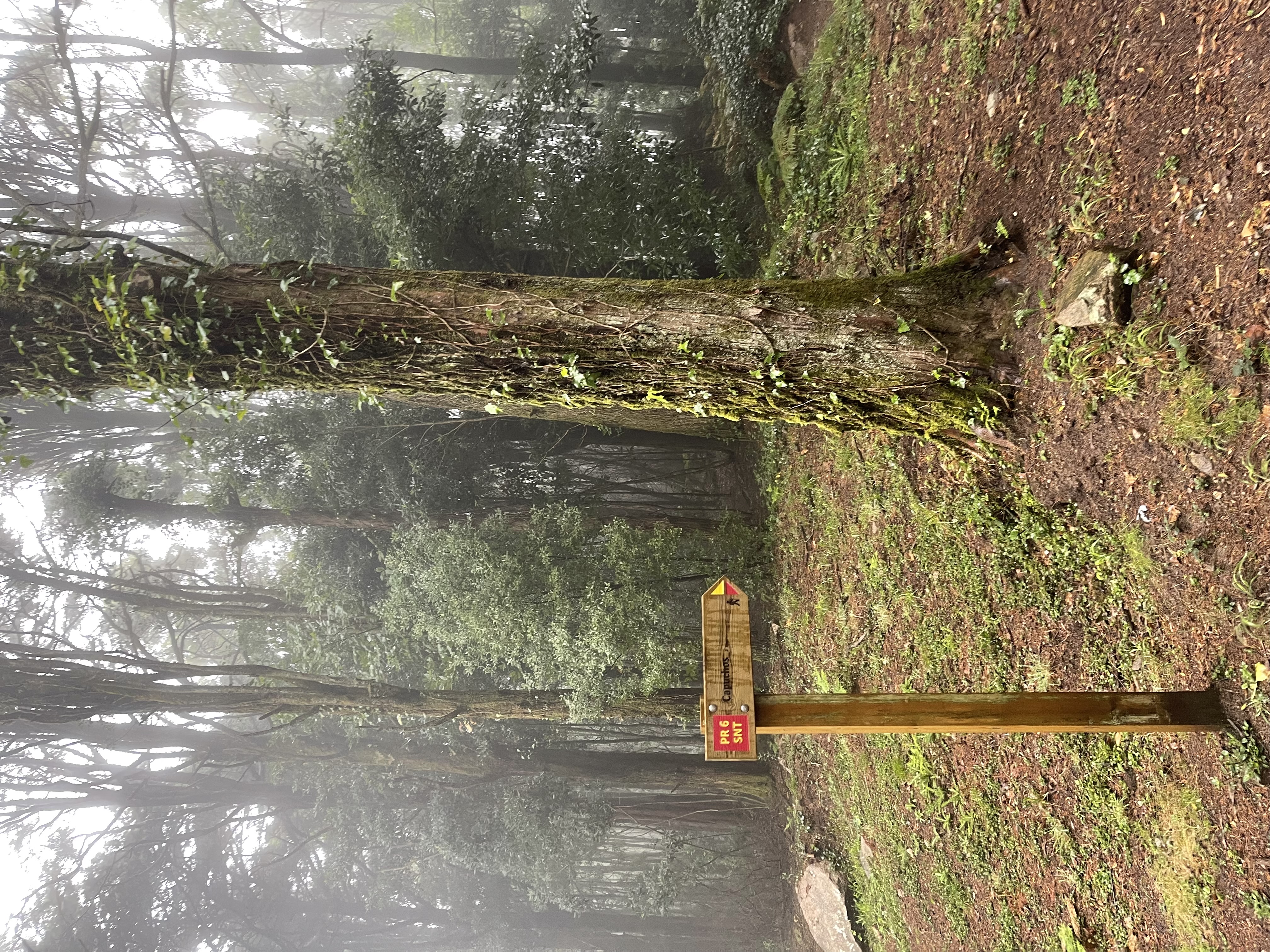
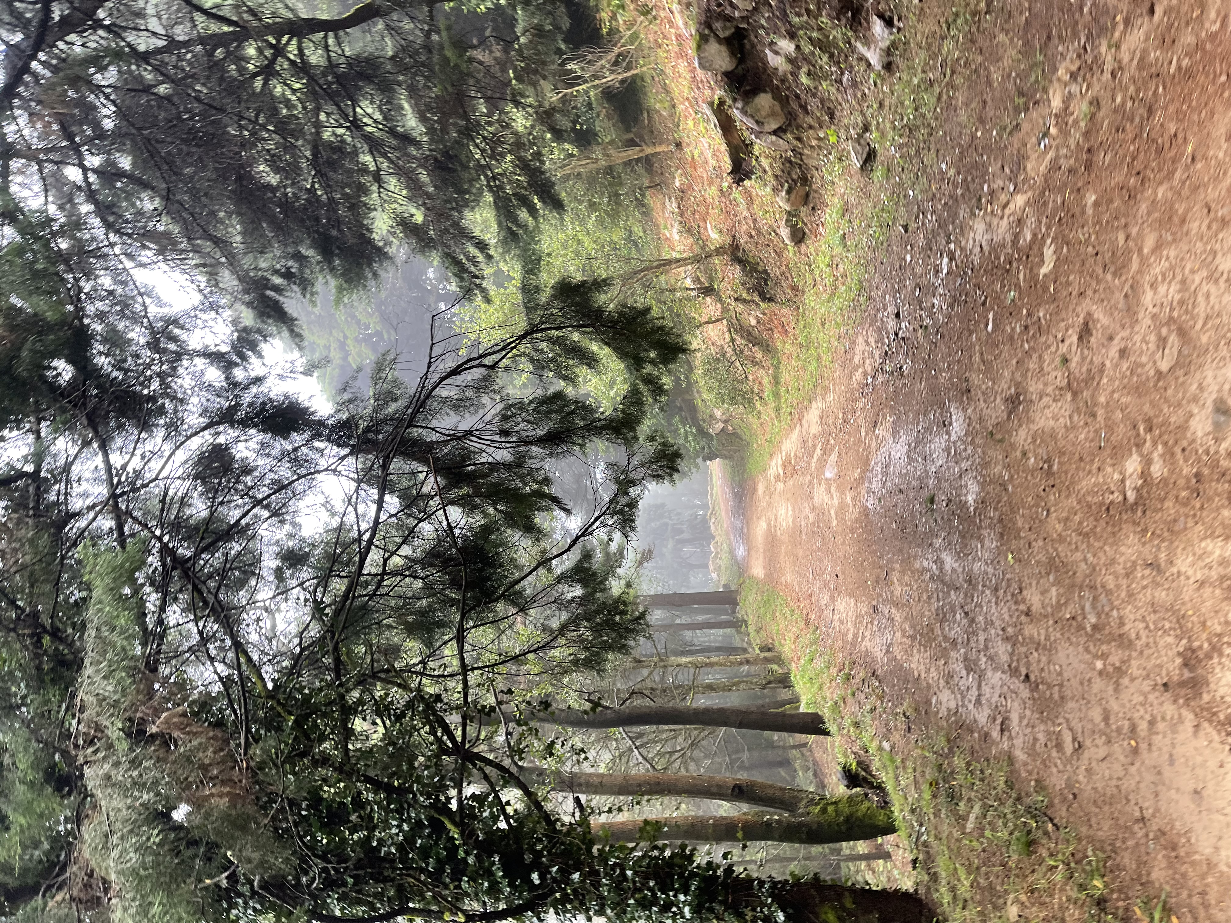
I don’t run on trails very often but I love it. We have to be extra careful where to put our feet to avoid any injuries. I keep telling everyone that if I get sick or injured during the next months I will have to be sent to a mental hospital. We are running through wide trails and mostly in good conditions. It is, however, easy to get distracted by the views or hypnotized by the fog.
Parque da Pena is on our right behind the wall.
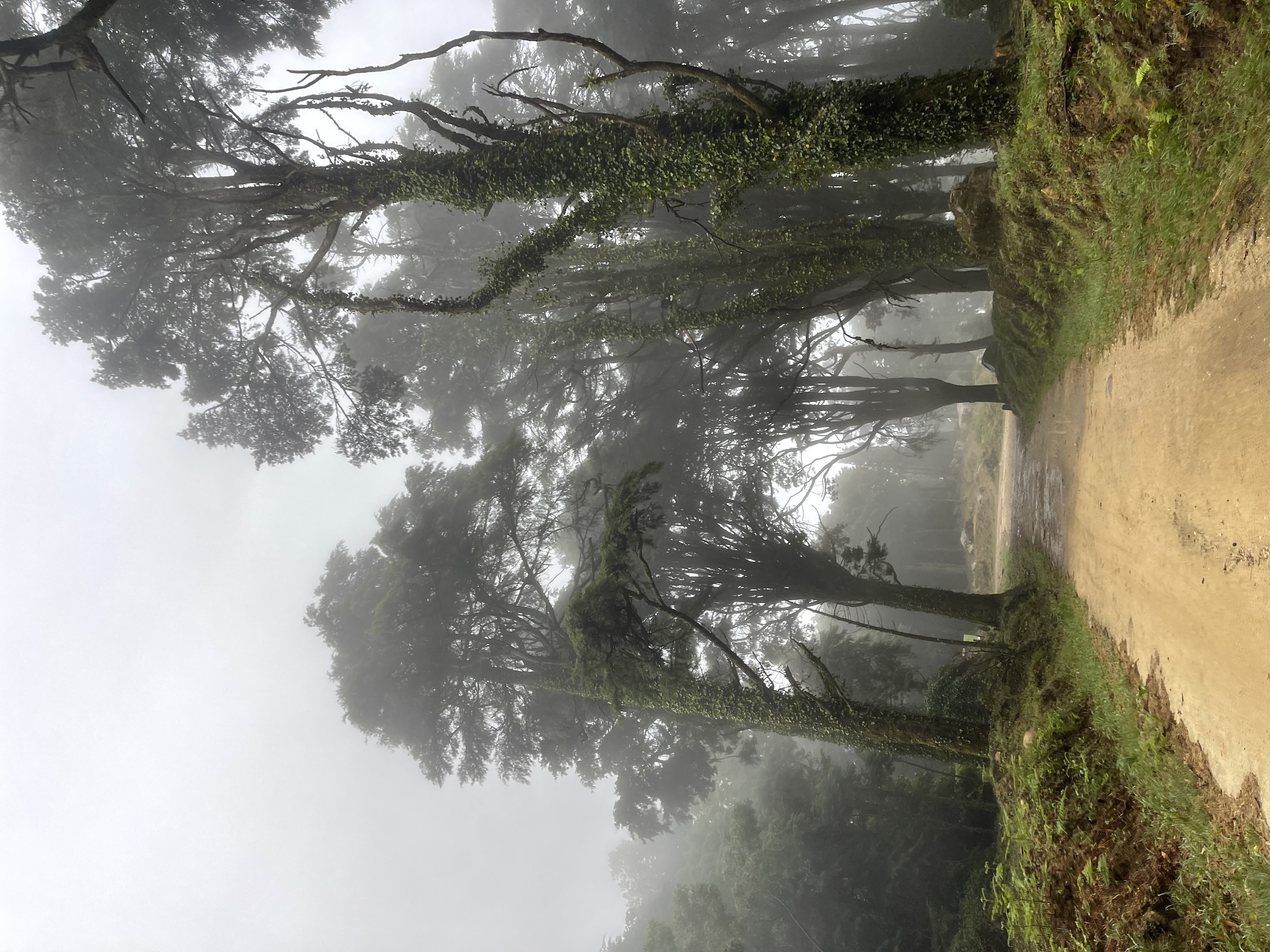
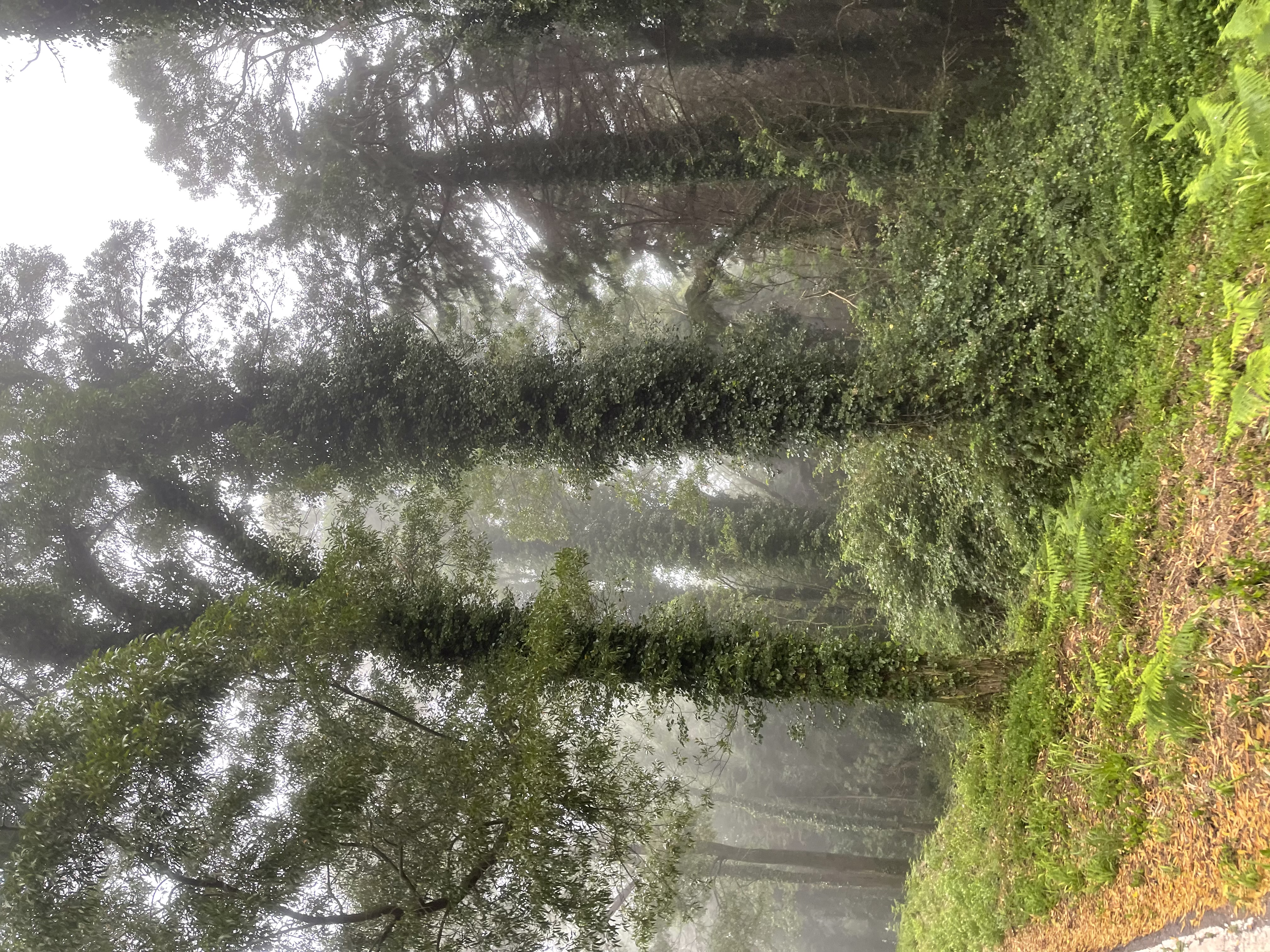
We are already very high in the mountain, exploring the intricacies of the real clouds. Space does seem to be infinite around here, but unlike the fake cloud, it is unpopulated and works. In this cloud you liberate your soul instead of selling it.
You can feel it, you can smell it, you can see it, you can even taste it, and definitely you can hear its silence. This is the real thing.
We have been on this road before - stages 2 & 7
The trail gets us to the main road at km 5. There is no escaping this road to get to the next trail. We have been here before but it will never get old. A few years ago I ran here 52 straight weeks. I hope I can run here forever.
We have the same photo on stage 2 without the mist
We exit the road and get back on the trails at km 6.2. Sintra has many private properties that have so far been generous in letting runners and MTB use the trails. The trail entrance is a nice slope going down for ~1.3km. I am following the inverse path of my normal MTB rides. Normally I arrive here gasping for air with my legs o the redline (well… before the e-bike, I mean).
It looks flat but is far from it!
We are heading down to the trail “Caminho das Pedras” - Walkway of the rocks. Named so, because it used to be a really fast descent packed with rocks.
I am truly running with a huge smile on my face. I am feelling strong and thrilled to be running where I normally bike. The different speed and opposite direction make it feel like I am on a different mountain.
There are a couple of technical single tracks out of this main road. I leave them for my bike.
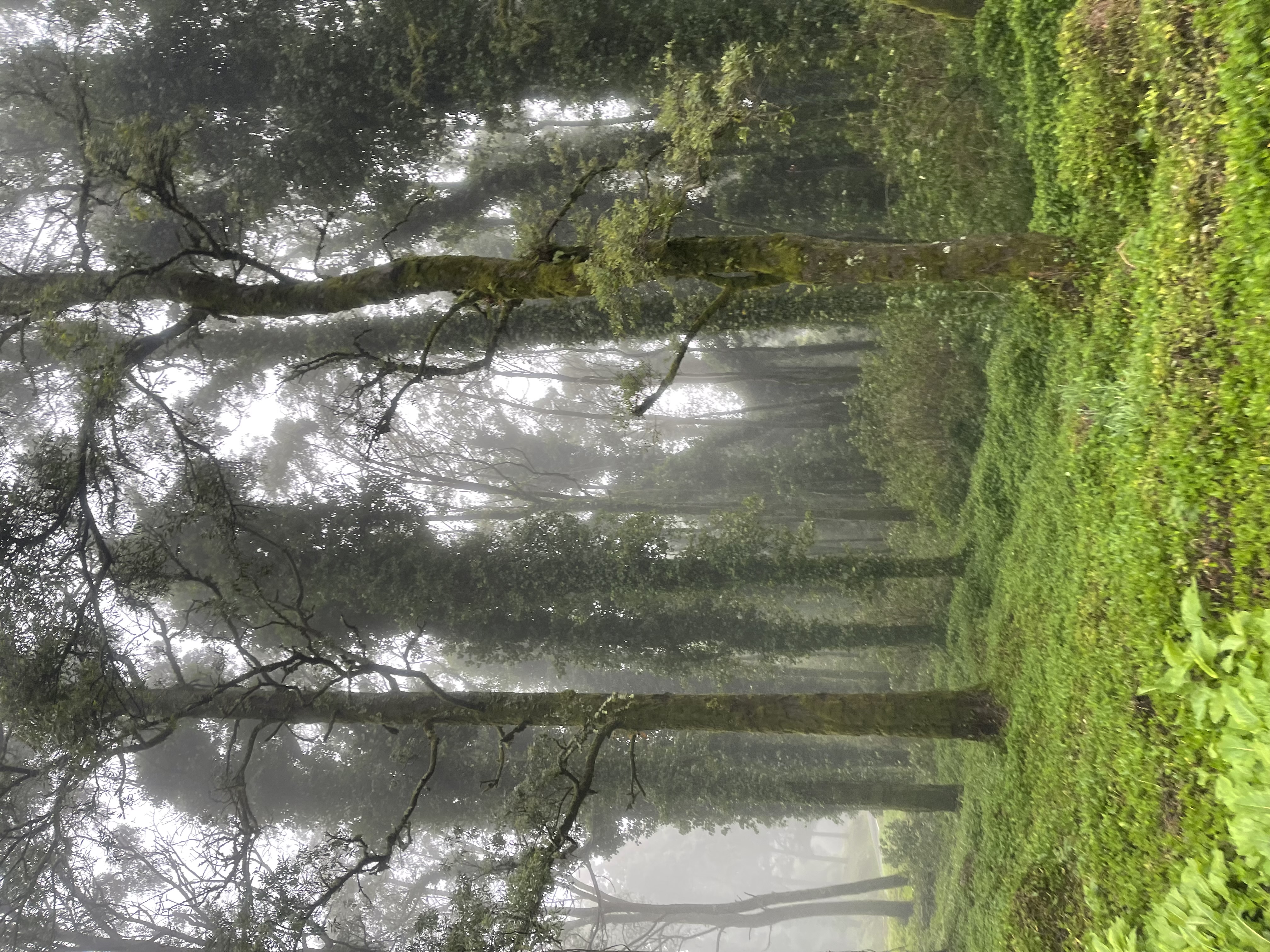
But there’s something about this landscape that makes it unique. We are heading to the Basecamp of the ascent to the Monge peak (Monk peak). It’s an extremely pleasant set of wide trails. The foliage around us is magnificent but I’ll me damned if I can capture that in a photo while running.
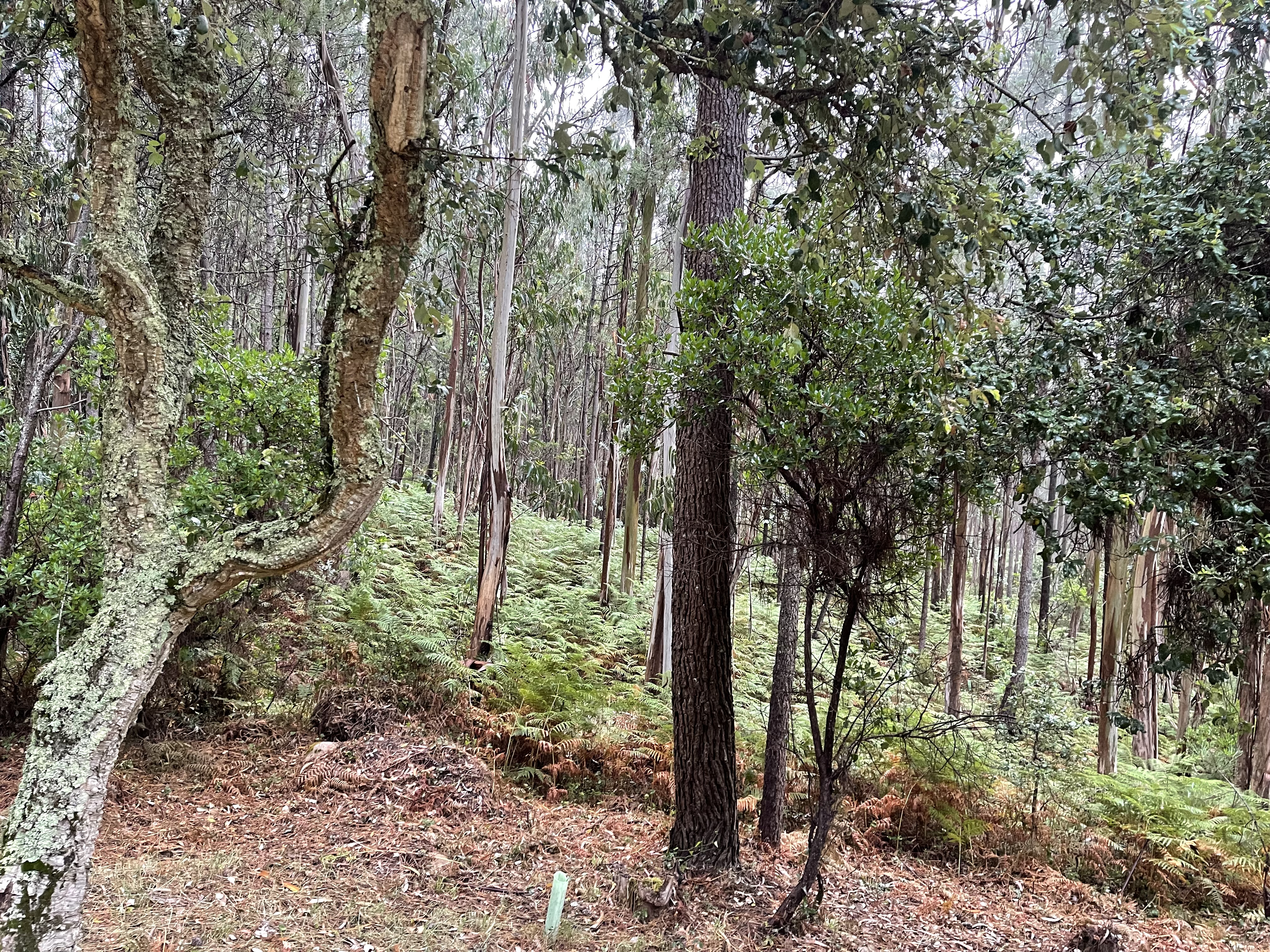
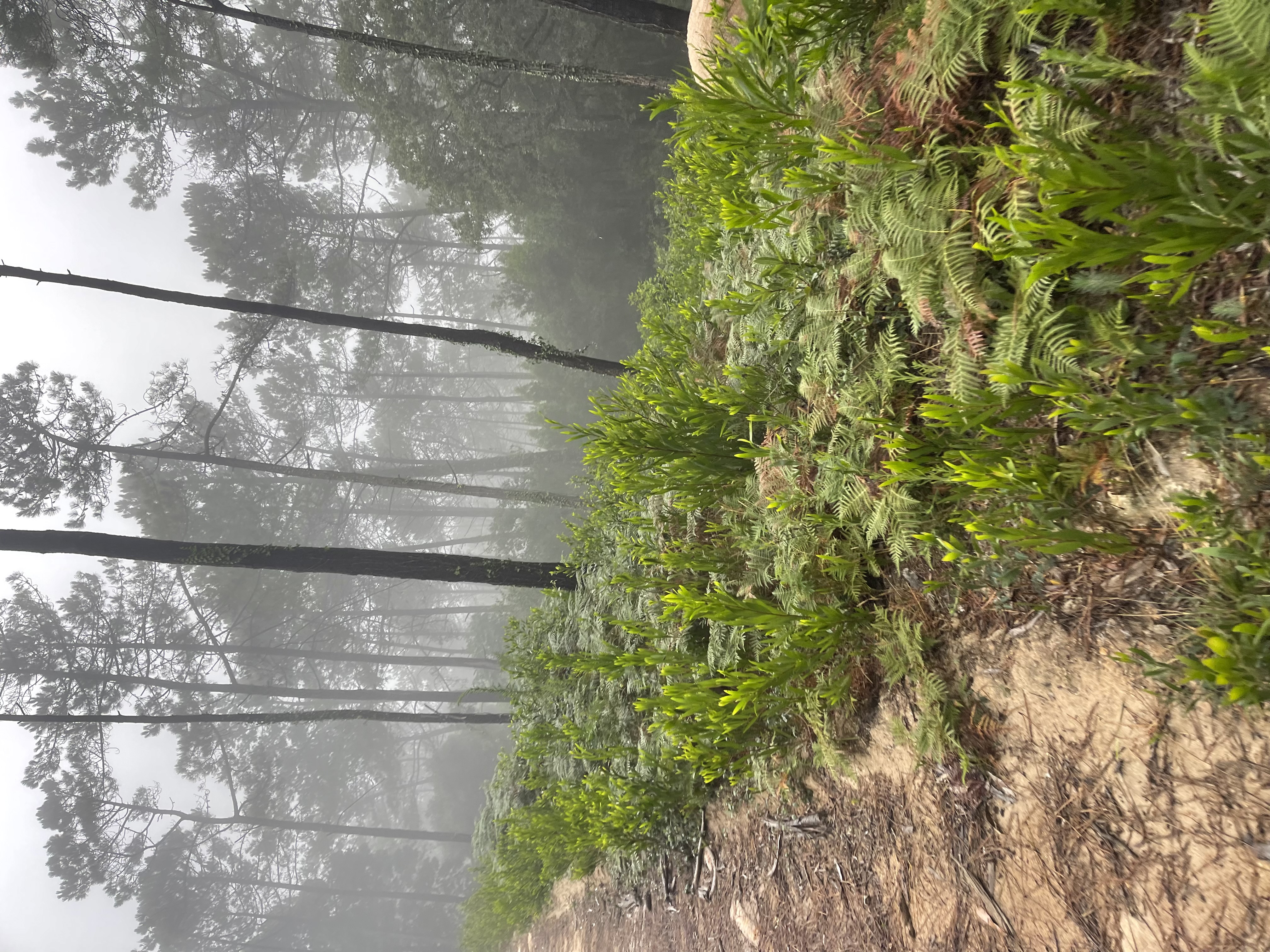
These ferns looked outstanding
A drawback of walking/running on the trails where you bike is that while on foot one is able to observe in detail all the difficulties and dangers that normally fly by unnoticed while on the bike. It’s similar to being inside the cloud vs using the cloud. If you are just using it as fast and conveniently as you can, you are oblivious to the dangers that the ones living inside the cloud are able to watch and fear.
Walkway of the rocks - now paved with dirt
It’s hard to keep the phone in my pocket. The advantage of knowing the route is offset by the distraction of shooting way too many photos. I wish you were here! Reality beats the cloud by a thousand miles.
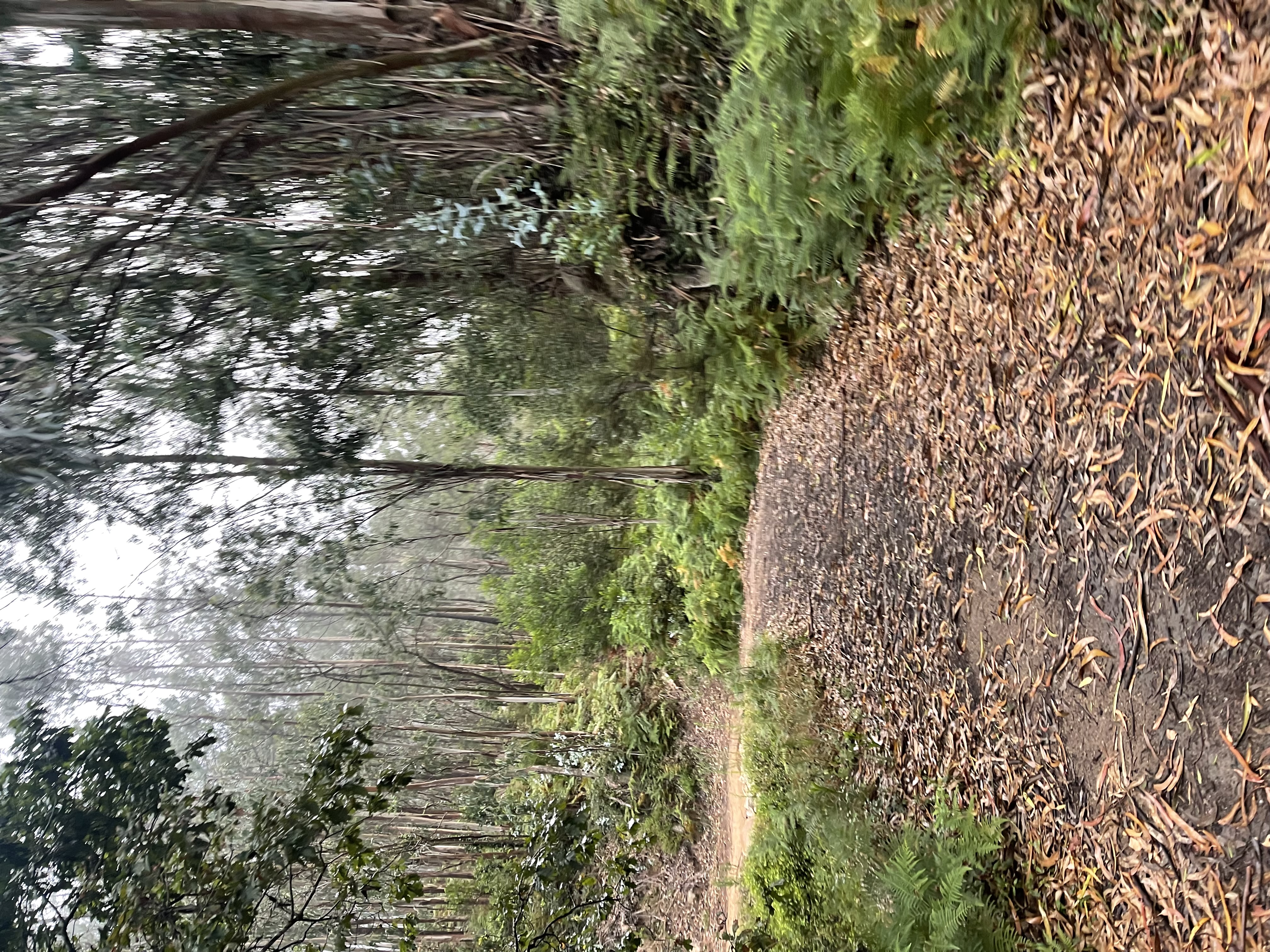
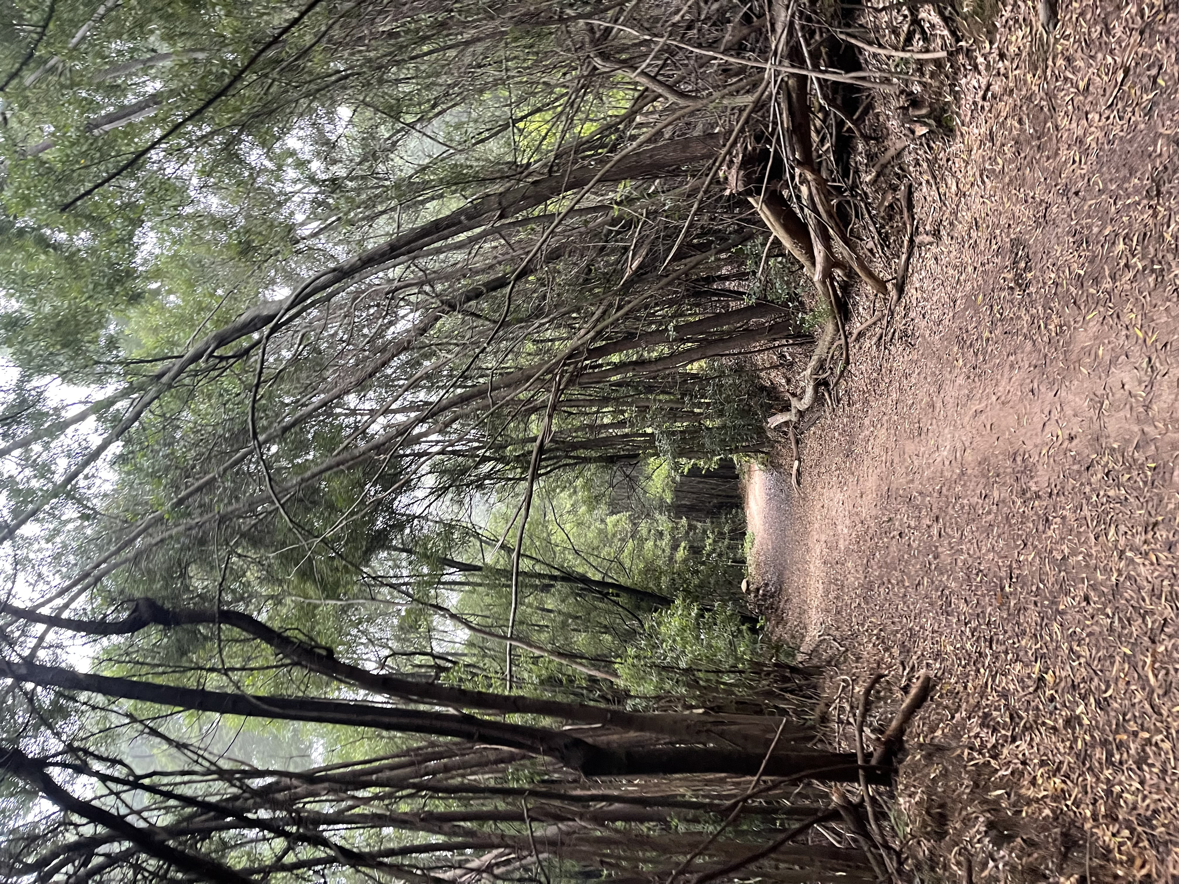
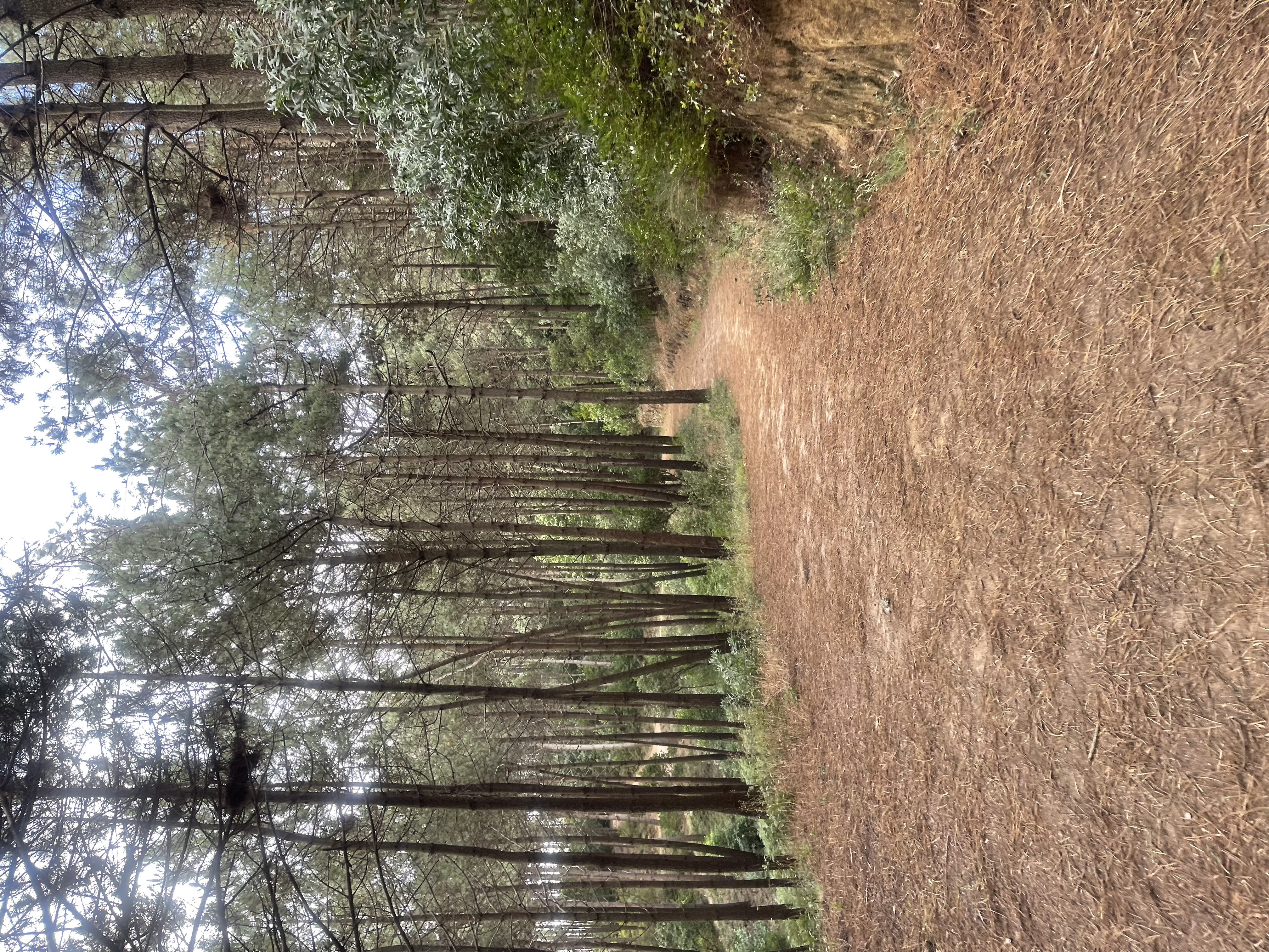
Leaf blankets are my favorite
Sometimes the terrain is covered in several layers of leafs and the feet stomping this preciousness play the most amazing muffled sound amplified by the indescribable smoothness of the foot strike. A true symphony.
Sintra ferns provide amazing colors and contrasts
We are the km 9, the top of the climb know as Jeeps. This is where most of MTB rides up Sintra take place (we did it on stage 12, but going down). It’s a long climb and also a long descent, if you think you will get even with the climb by shredding the descent, give up, the descent is just as brutal on your body as the ascent.
We follow a long tunnel all the way to Monge Basecamp
The next km to the Monk Basecamp is one of the most beautiful routes in Sintra. During the winter, early in the morning when the sun is low it shreds light in-between the branches and paints an heavenly scenery that will have your jaw drop.
I am drooling as I caption this photo. The sound of this ground is unique.
At the 10th km we arrive at the Monk Basecamp. Four regular roads meet in this spot but fortunately traffic has been constrained and it remains quite desert even during busy hours. This is probably the most frequent meeting point for runners, bikers and climbers.
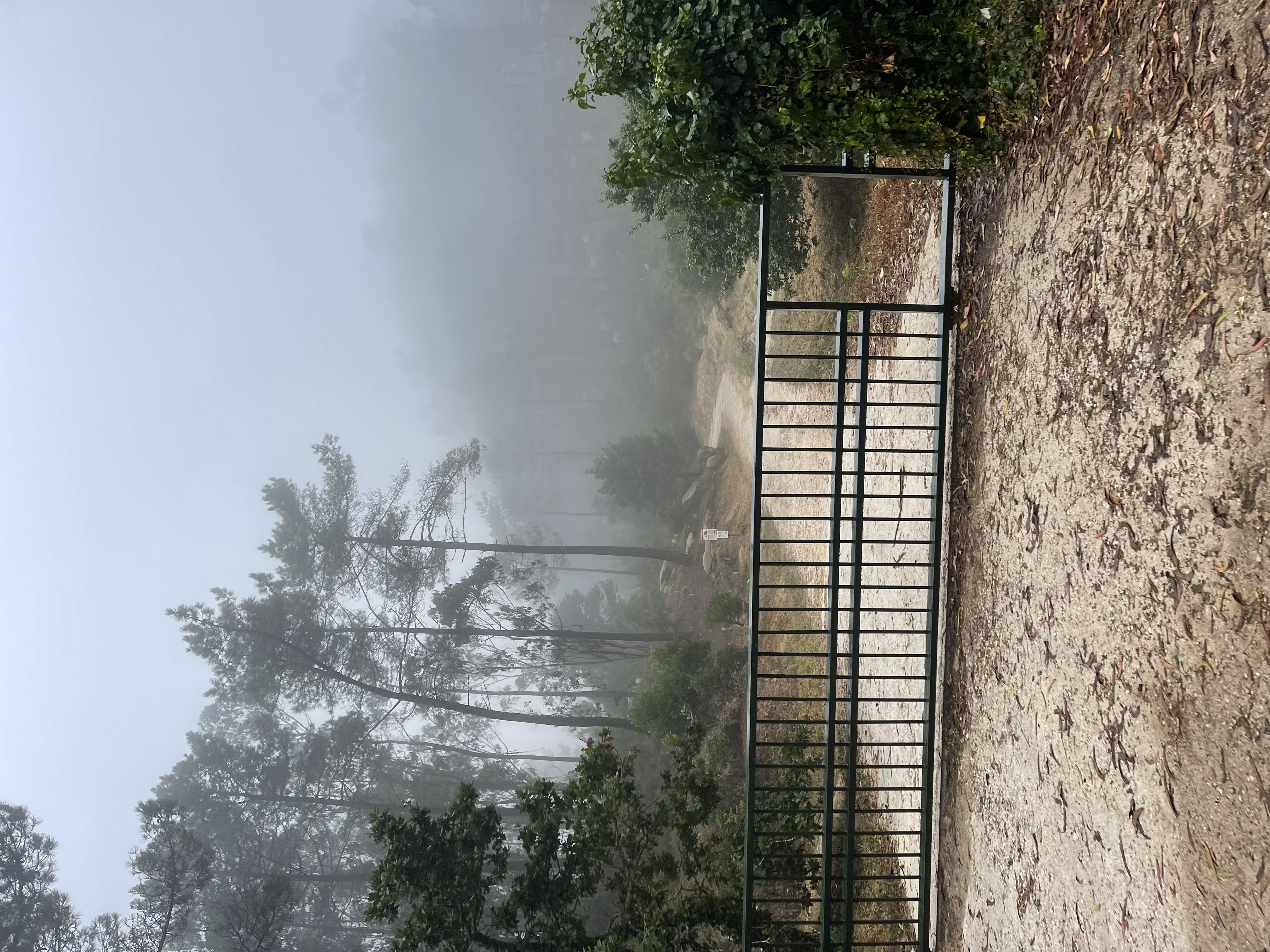
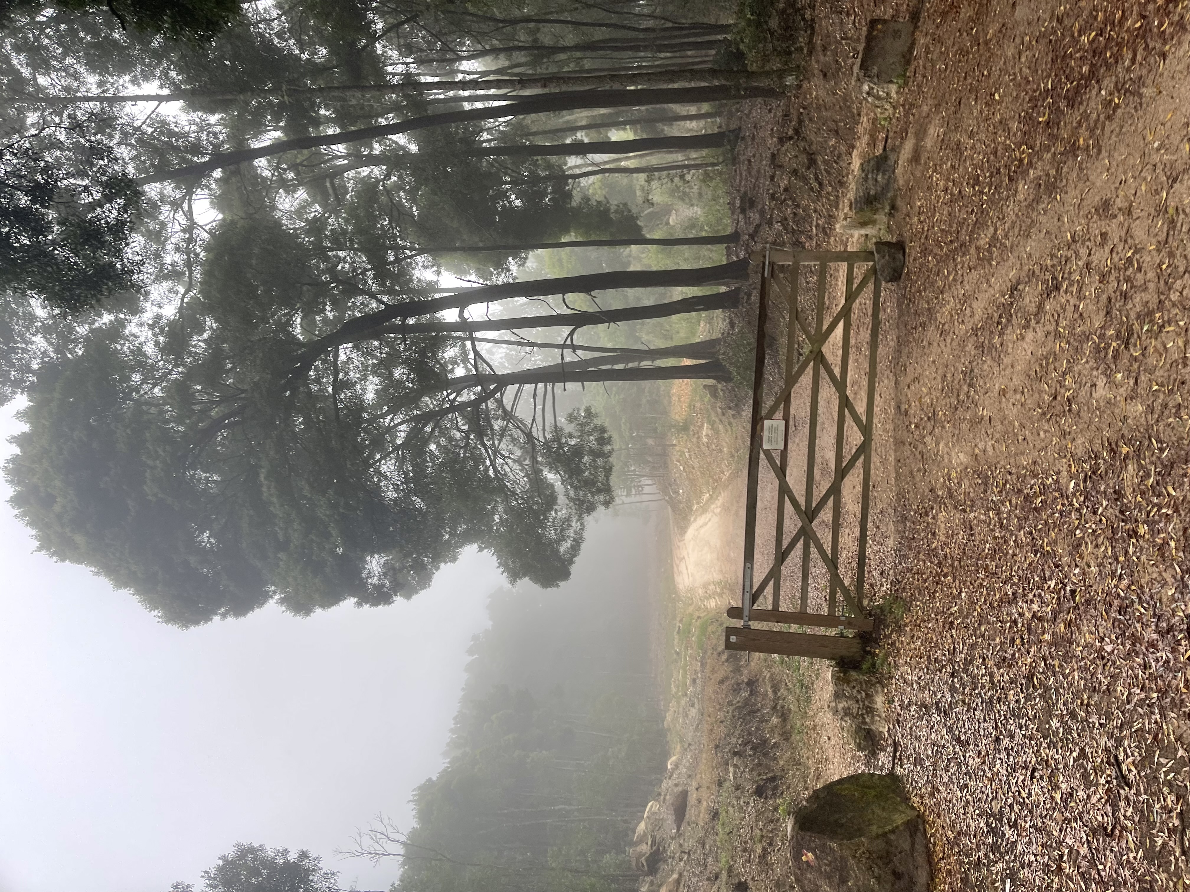
The gate to the Monk climb. Laughable how easy it looks on the picture
Don’t let yourself get fooled by the lying camera perspectives. This will be a 1.4 km long climb at an average 9.9% grade. I have had my legs burned by this climb over and over. The bait of preying those double black diamonds at the top is too tempting. This ascent is tremendous.
It is not uncommon to inadvertently do a wheelie on your MTB during this climb - it’s that steep
You can catch some of those double black diamond halfway through the climb which is convenient. You can go once to the top, live the dream of coming all the way down and then use the remaining strength to catch another one half-way.
By the entrance to the Dimas 1 trail - a pearl
We are ascending to one of the highest peaks in the mountain, and the clouds again become denser as we climb. We still can get amazing views of the forest around us but no chance of peeking through the openings that let us see the ocean and the cities around us in many different directions. That’s a problem derived from living deeply inside the cloud. You might lose sight of what lays far in the distance and rely on what the so-called gurus of the clouds tell you to follow. Sometimes their clouds are not natural, they confuse the wonders of the mist with what billows from the weird stuff they are smoking. And then… the cloud strikes the distracted crowd.
Arriving to the top of the Monk
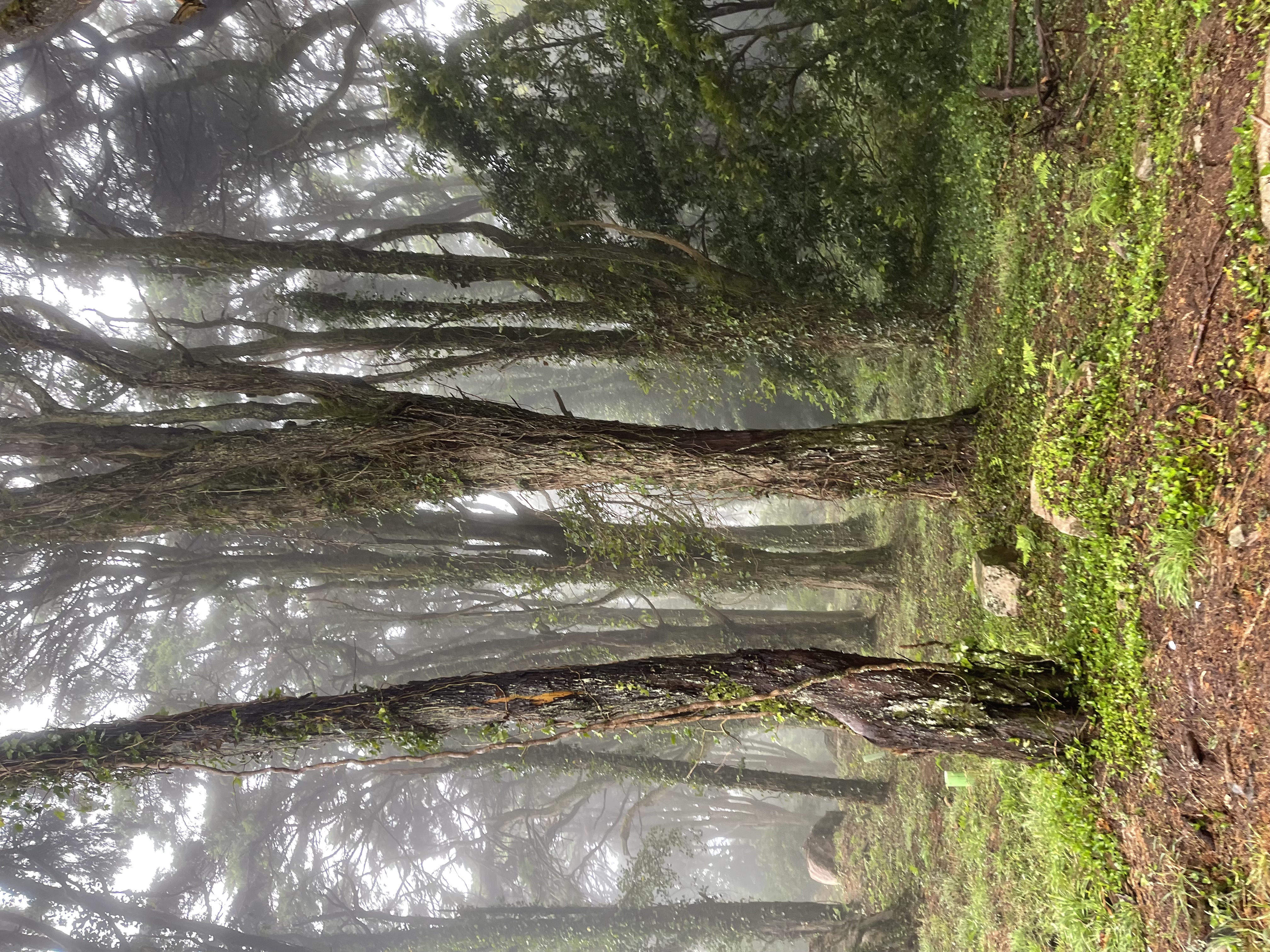
The top of the Monk is amazing. This monk is not bald, there is a Magic Forest around us (yes it is known as so, even though there is also another spot known as the Magic Forest further up the road).
But you do have to be bold to take on some of the double black diamonds born on this peak. We have the Monk downhill runs, not for beginners. The most interesting and famous one is the Kamikaze descent - I will let you judge on how hard that one is. I once shattered a brand new Apple Watch falling on that trail. I was able to wear it for almost a full year with a broken screen before it died. Apple does not repair them, and I got bragging rights (for being stupid and reckless on that trail).
The Magic Forest
The top of the Monk is at km 11.9, time to rest… if you were on a bike. Going down can be just as hard as coming up and it is for sure more stressful. It’s a one km descent where we just have to beware of the rock, roots and holes. This area in the mountain has always a lot of moisture and that’s what makes its green shine.
Ascent the monk from the west (we are descending)
It was a very windy day, borderline dangerous. It is frequent to have trees blocking the trails after falling. It is always a risk to go on these trails in the middle of a storm. I was reminded of that by the scary sound of a very large tree shaking with the wind.
Today there are lower than usual branches broken from the winds
The trail heads to the main asphalt road that goes to the Peninha peak. We won’t be visiting that one today. I had no time and was already pushing this half marathon to close to 25 km. Too bad, because that would get me closer to a full house. As I write this I am deleting way too many photos that I wanted to include in this blog post. It is so hard to discard them.
Back to the mermaid oceans from stage 7
We get to the main road at mile 10, where we will repeat a portion of the run from stage 7 but following the opposite direction (going down today!).
What can I say? The views are unquestionably perfect. Even though I prefer to do as much off-road as possible when riding my bike, I often detour to this asphalt road because of its beauty.
No need to caption this
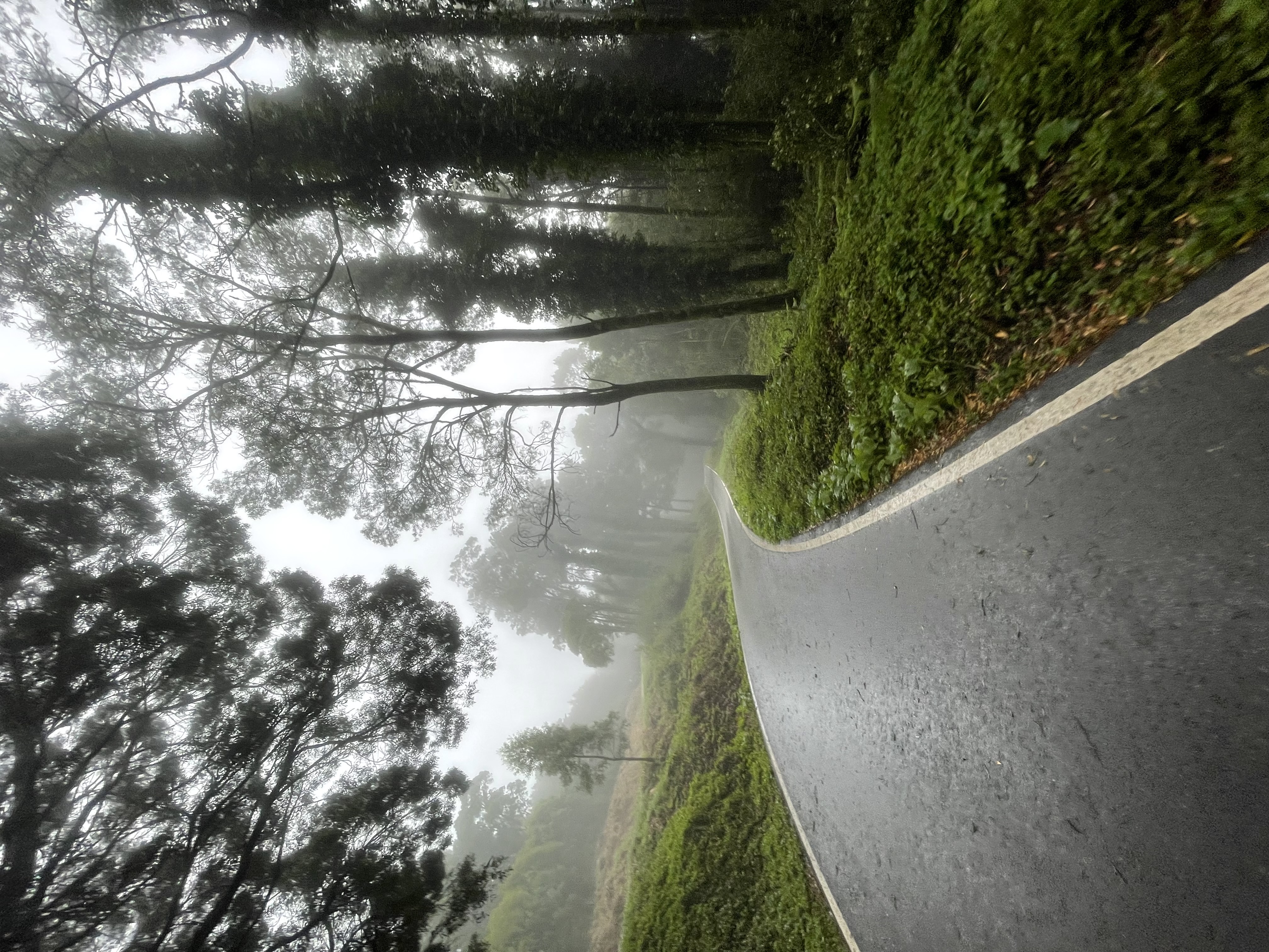
These clouds are striking, refreshing and soothing. It is impossible not to be at peace in this place. There should be a Sintra green color, it is so unique. We are heading down to the next basecamp of the final peak to climb. I am not riding my bike but my legs descend as if they were from the smoothness of this landscape.
My mermaids were not expecting me from this side
The fog goes with the mermaids
It is a never ending sequence if awesomeness. The butter smooth road, the trees, the fresh air and the wind blowing refreshing showers of fog. I am running in real life and riding my bike in my head - double the pleasure. I have not seen a living soul during the full route. My usual dictatorship claiming of territory,
Like a tapestry
The final basecamp is at km 15.3. The last peak is only 400 meters away with 40 meters to climb. An average of 10%. This one hurts, and I have plenty of memories of wheelies during this climb. This one is vertical!
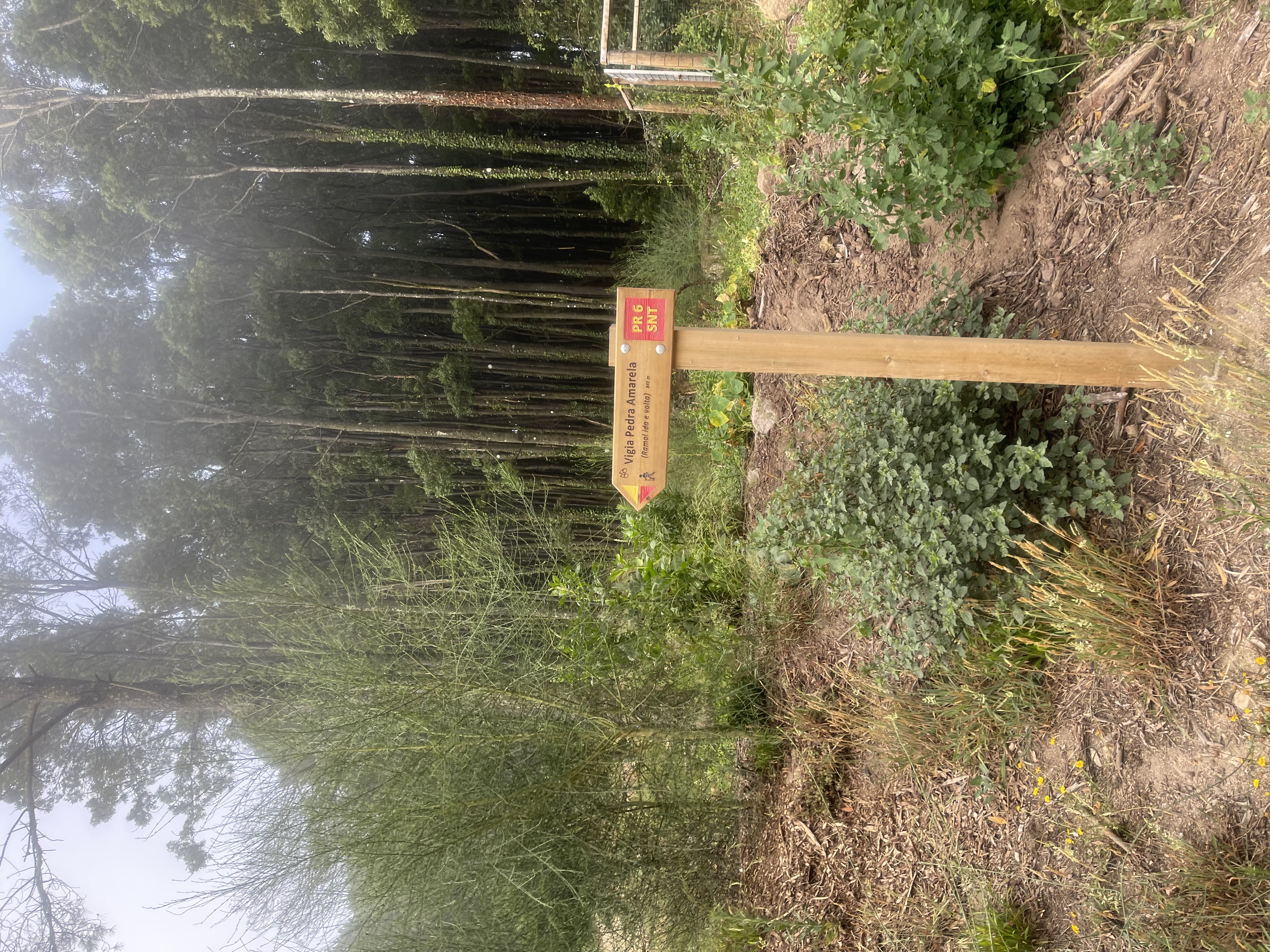
We are heading to the Pedra Amarela Watch Tower peak. Where Pedra Amarela literally stands for Yellow Stone! Different sizes, different landscapes, different animals. Both exceedingly beautiful.
To the Pedra Amarela Watch Tower
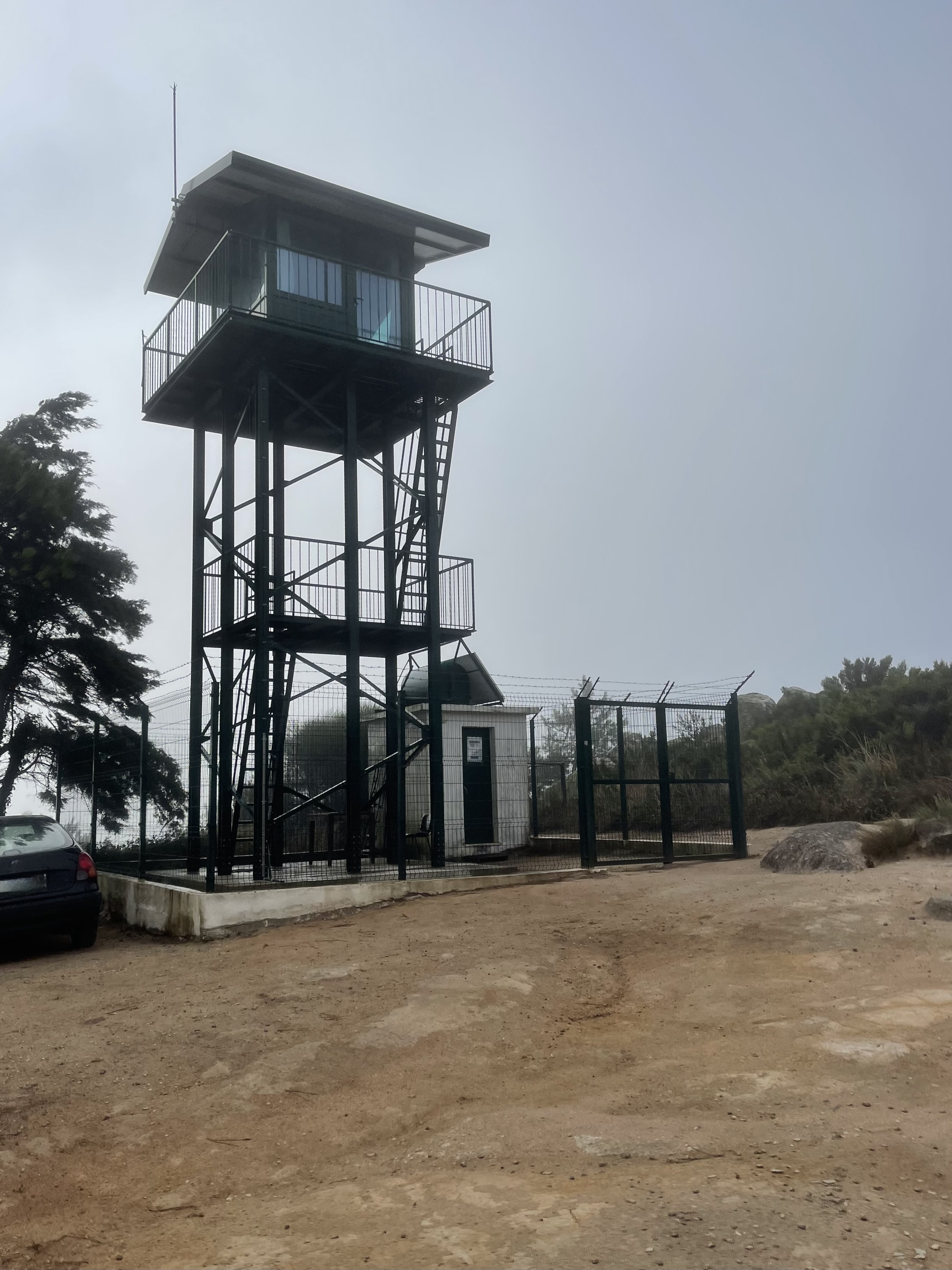
The wind by the watch tower is borderline unbearable, very strong and cold. The clouds here are as turbulent as the fake ones have been on the internet lately. The view is nowhere to be seen, we have to hurry our descent to take cover.
Yellow Stone watch tower
Going down is no easy feat here. We will be descending for 4 km but the road at the beginning is extremely steep and slippery making me go just as slow as I was coming up. I catch the first adventurers coming up, walking.
This is probably around a 20% descent grade
Pedra Amarela is an area that is used by scouts for camping and where there are also many activities going around (climbing, tree climbing). It is also where the great MTB trail ZZ Top starts and I have not been on that one for a while. I get distracted and miss my turn looking for the entrance to the ZZ Top. That cost me an extra climb.
Trying to find the way to the ZZ Top trail
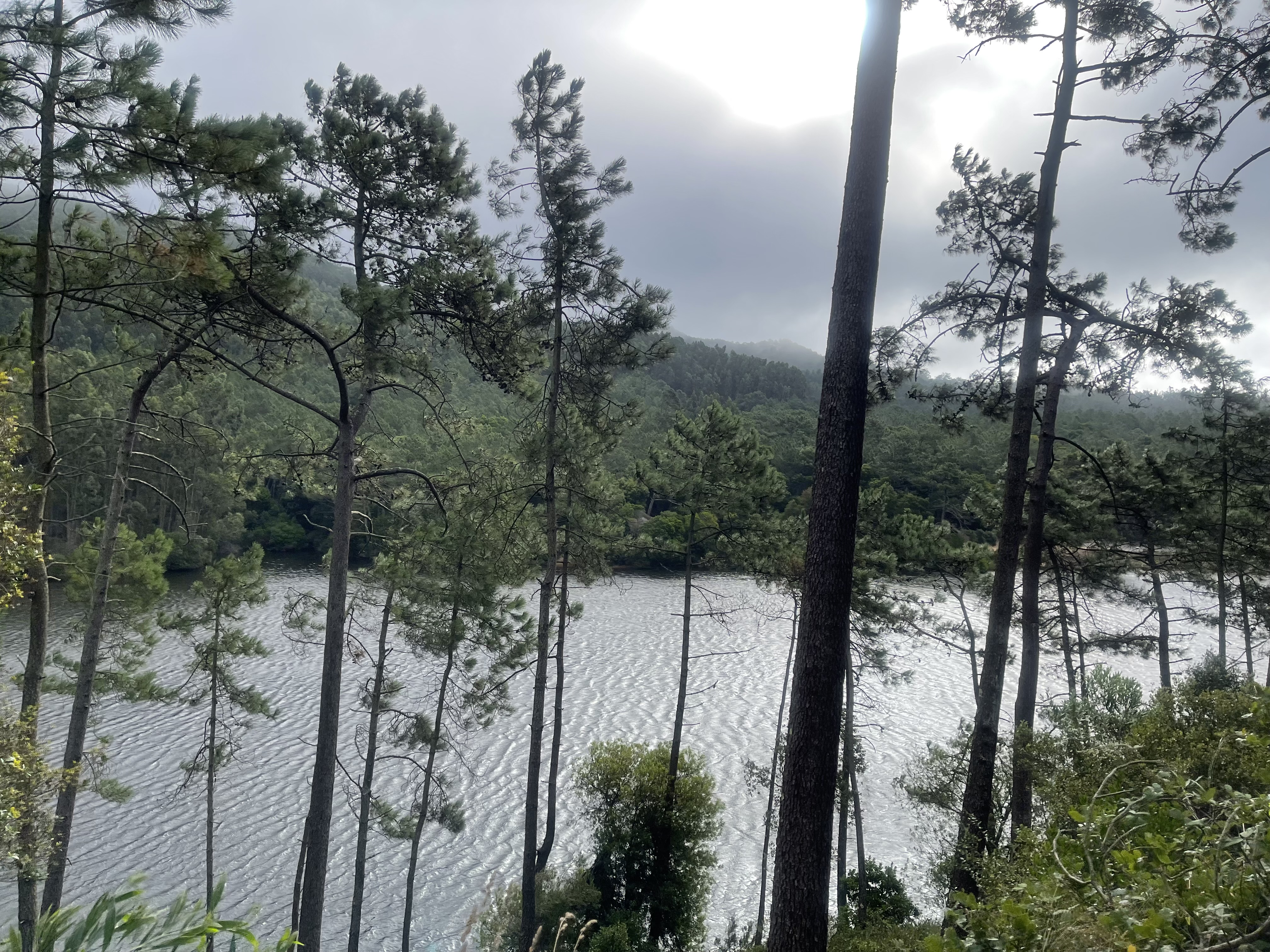
The larger trail is silk smooth and leads us to Barragem da Mula. A nice water dam down at the bottom. Arriving there, I catch a large group of American runners that are just starting their route. I was not expecting that.
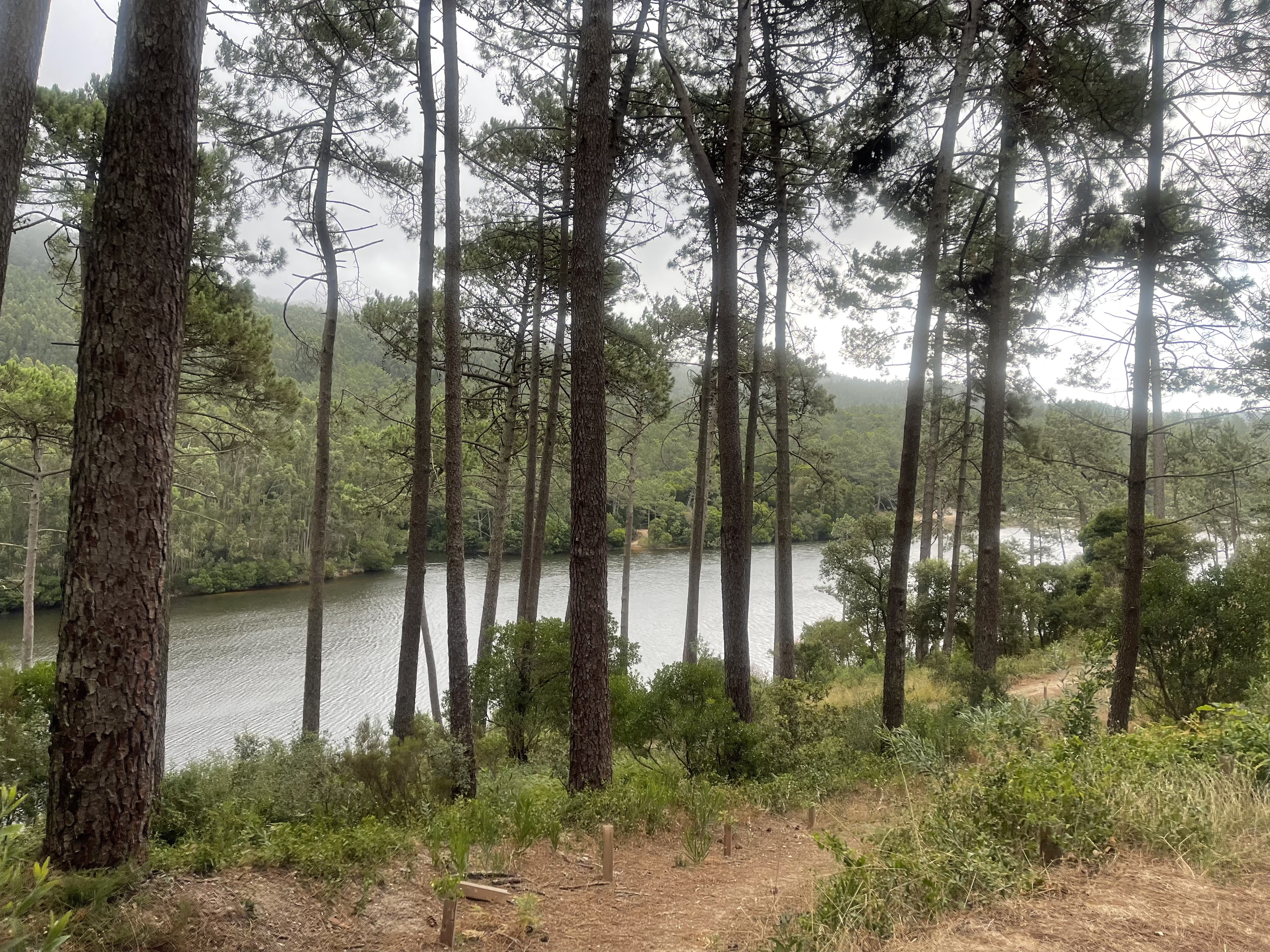
It has not been a bad year of rain in this area so the dam is rather full.
Arriving at Barragem da Mula
You can see the strong wind making the waves in the lake
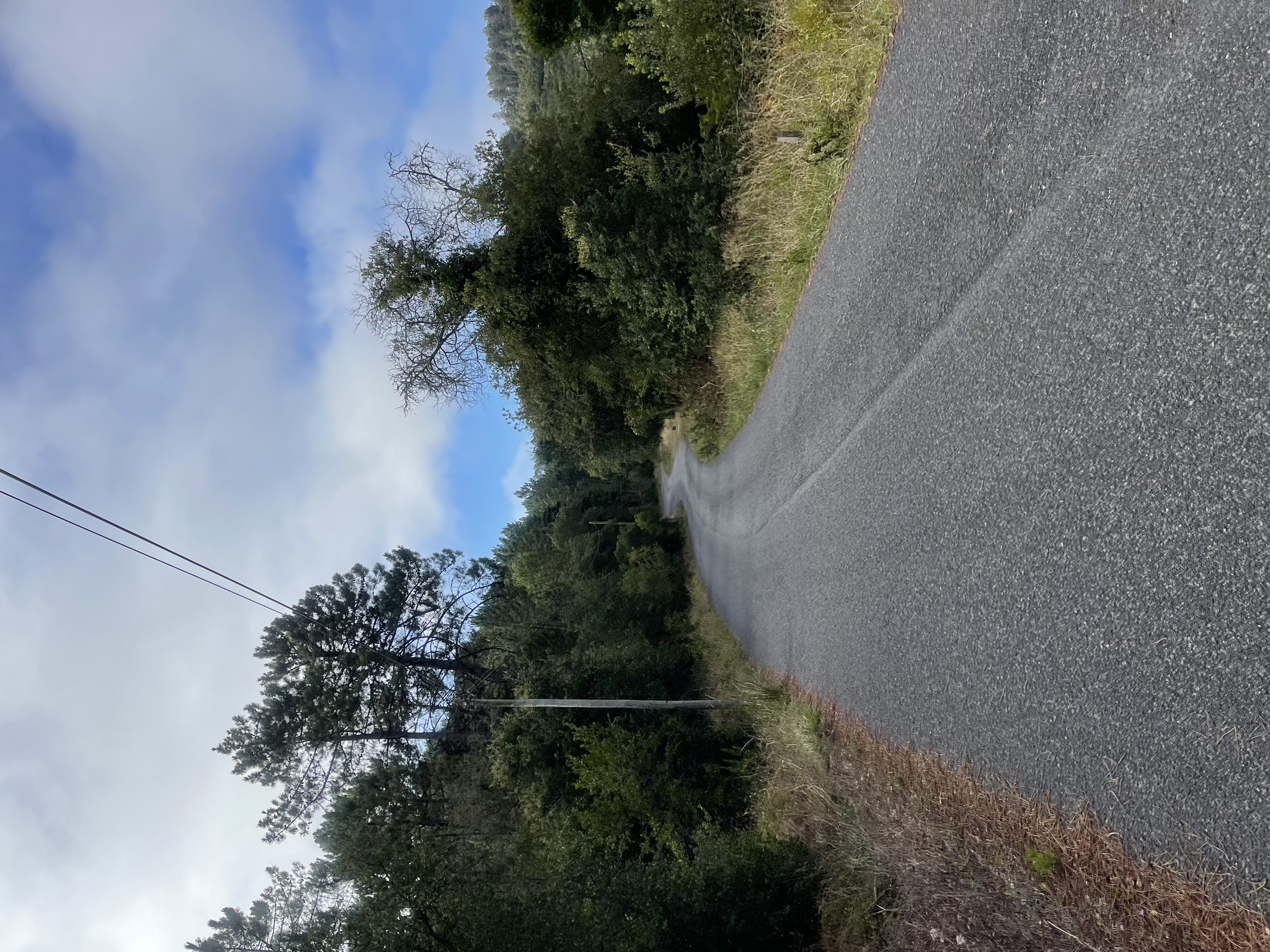
There were plenty of trails to take us back to the starting point, but we got to the main road at the 20th km. To go back using the main road it will be an extra 5km, if we were to take the trails, it could go up to 7 km and be a lot slower. 25 km is not exactly a half marathon and specially one with the amount of climbing that we did today. We pick the main road for the final 5km.
The road from Barragem da Mula to the main road - a top speed spot for our final bike routes
The road is no easy task either, it will be a climb for the next 5km and the first mile is a killer. I always curse this climb at the end of my MTB rides.
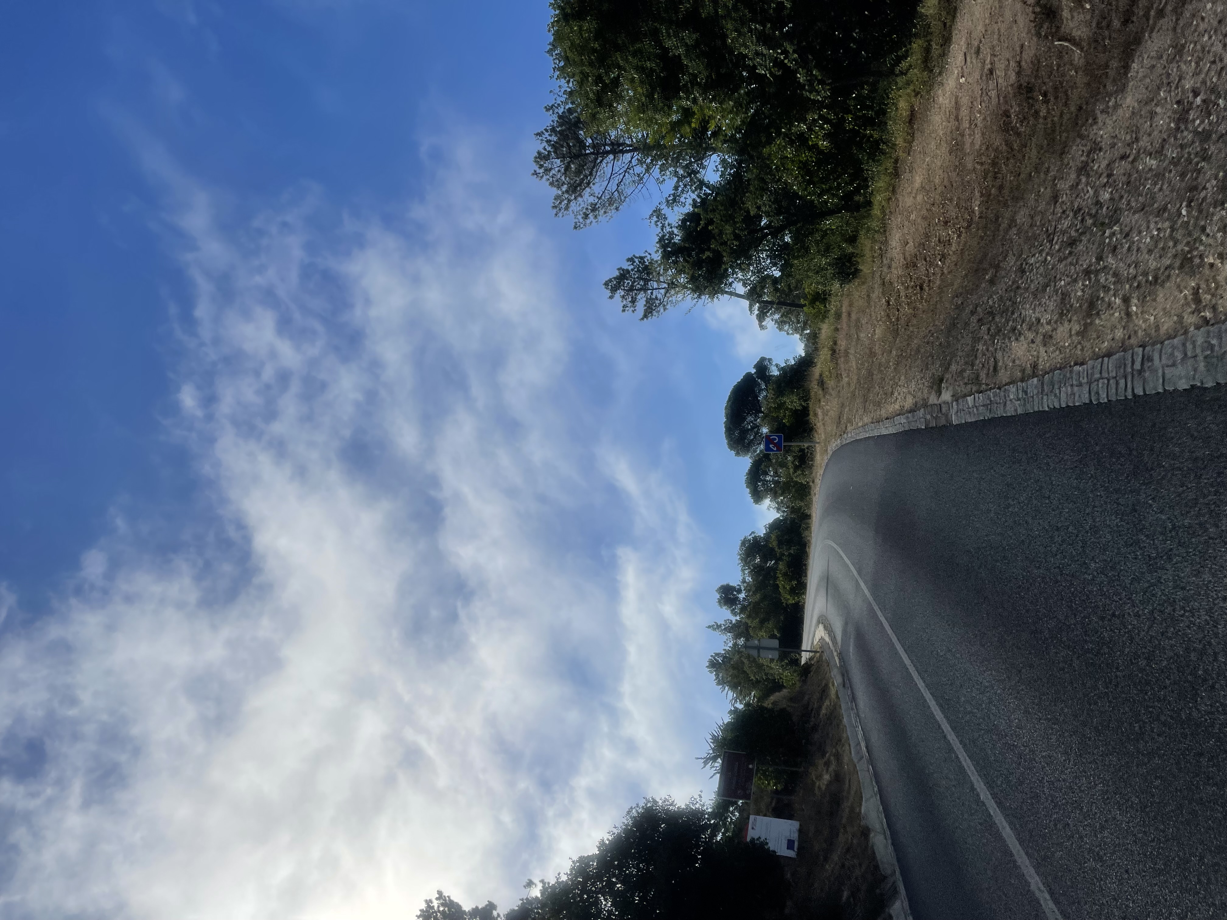
The clouds are clearing and my iPhone grabs as much blue as it can see to paint the pictures.
This climb is a b***
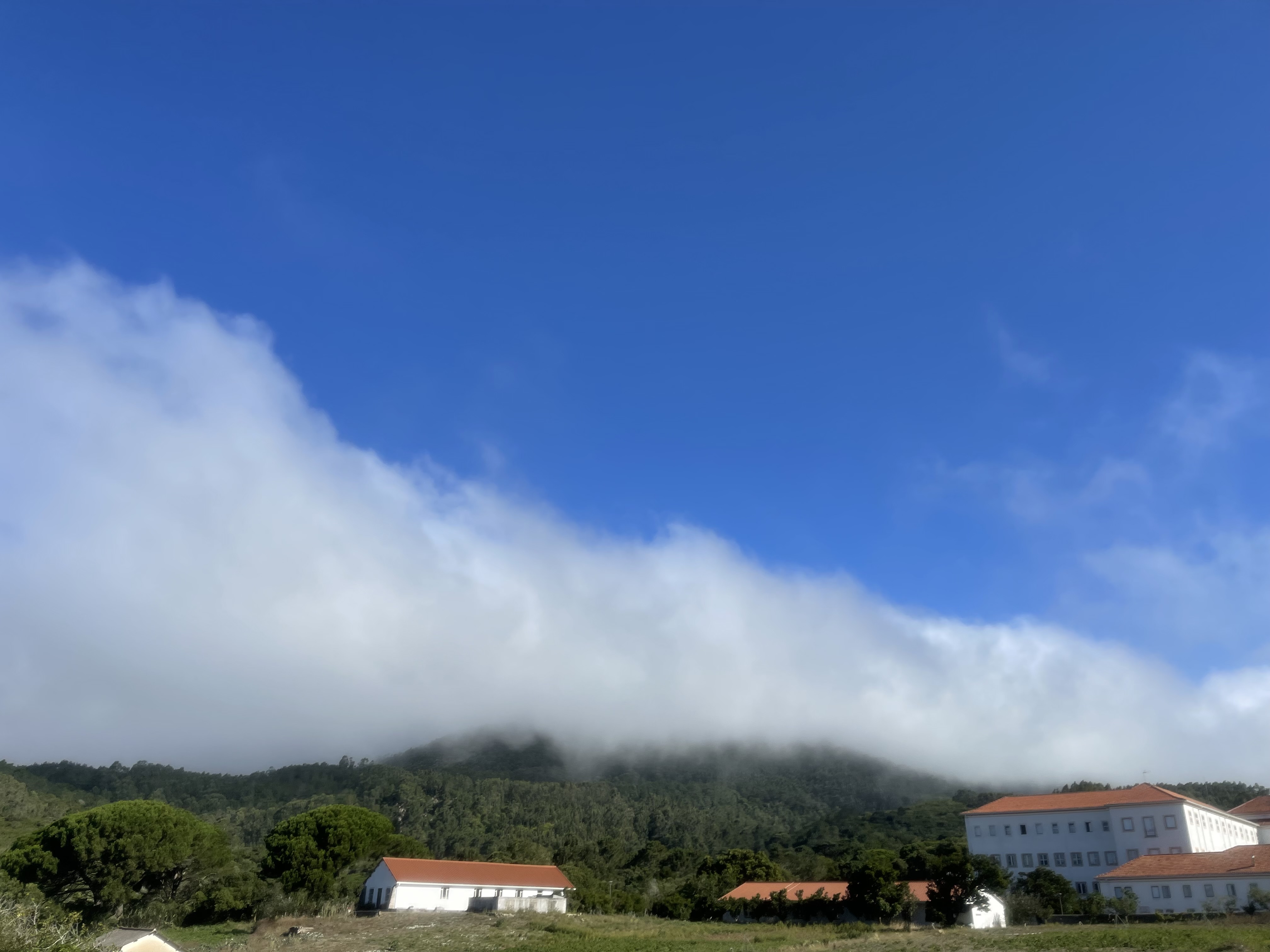
As we get to the main road, now overcrowded with traffic, we have a nice view of the top of the mountain where we have been flying. It is sugar coated with the clouds serving all of our senses.
Sugar coated Sintra peaks
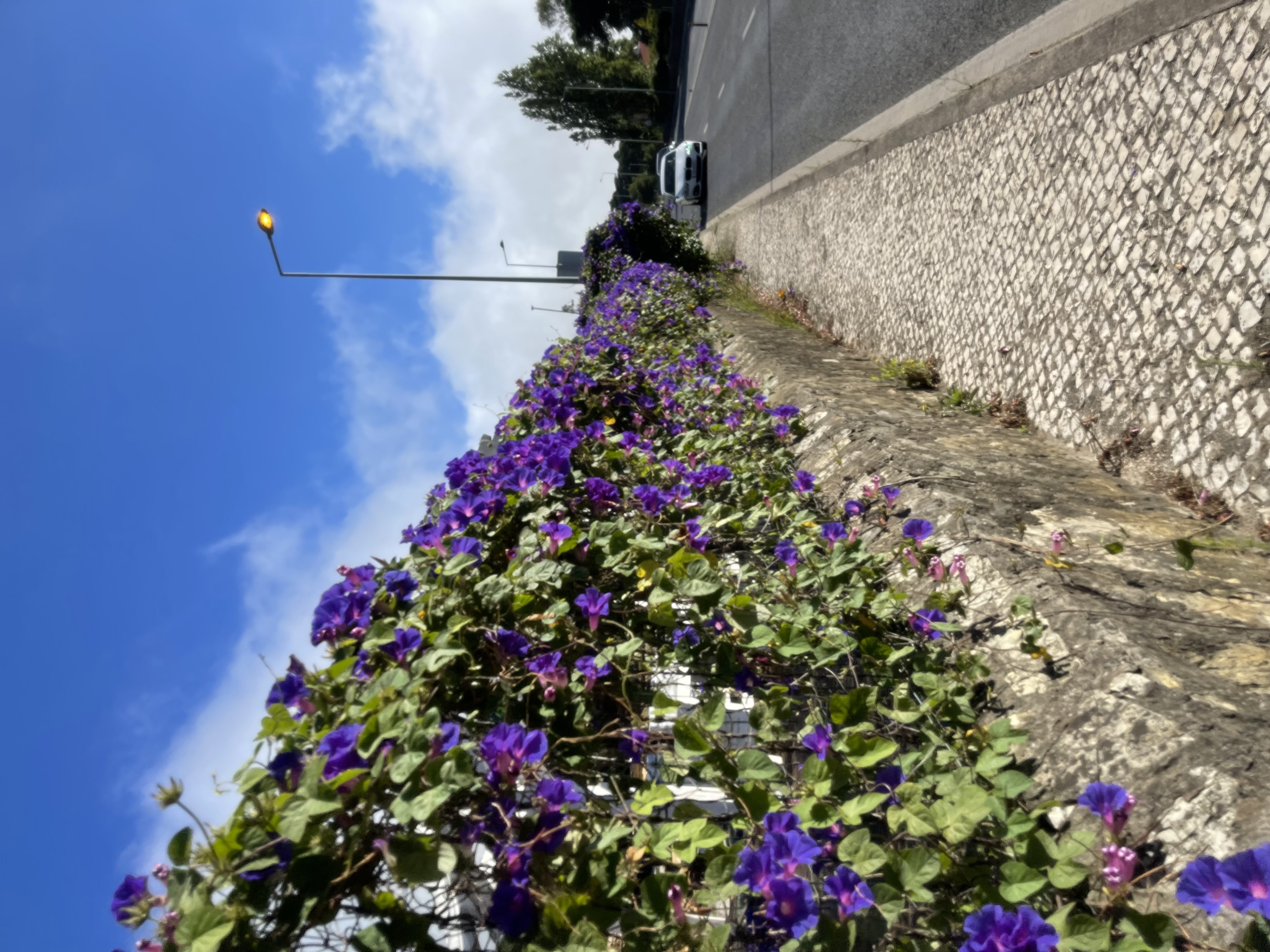
We are back to the urban area and make our last mile on the sidewalk admiring colorful flowers and trees from the surrounding properties.
The final km on the sidewalk
It was a long run, almost 3 hours on the trails, a lot longer than normal but it sure did not feel like it took so long. It was hard, very hard, but it tasted like nothing before.
This run was out of this world. In the clouds, the real ones!
Enjoy your runs!
-APF
